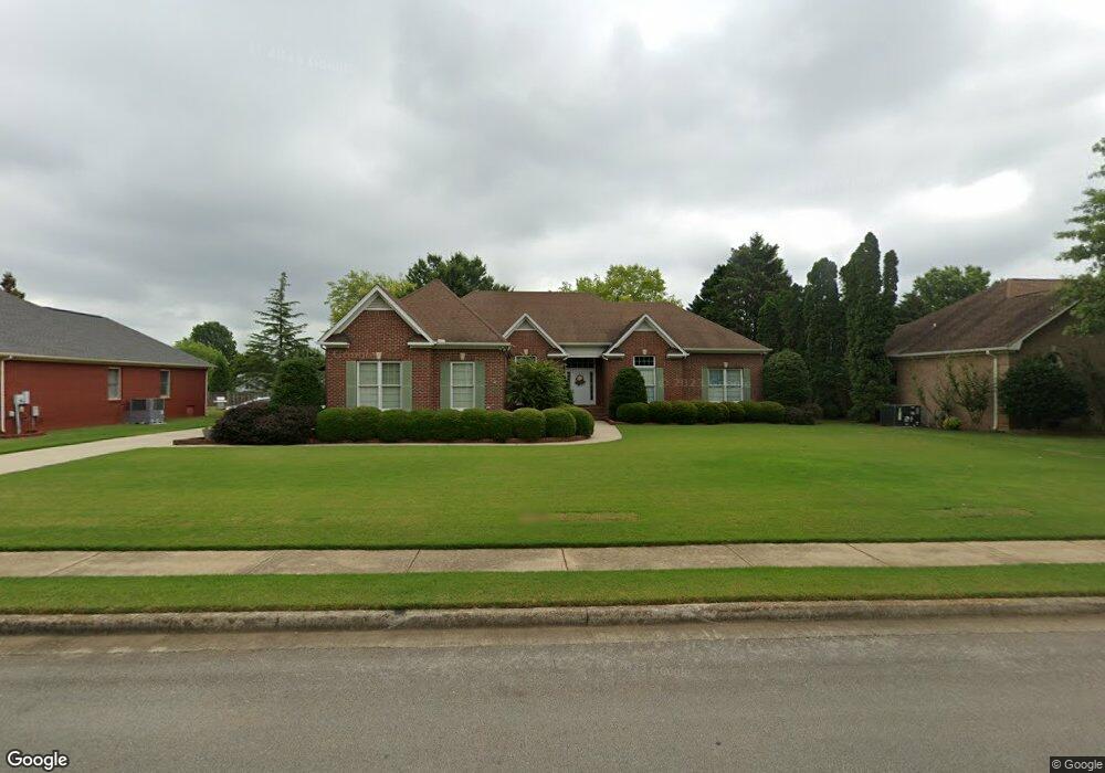
127 Hillsgate Dr Madison, AL 35757
Monrovia NeighborhoodEstimated Value: $457,000 - $502,000
4
Beds
2
Baths
2,708
Sq Ft
$176/Sq Ft
Est. Value
About This Home
This home is located at 127 Hillsgate Dr, Madison, AL 35757 and is currently estimated at $476,054, approximately $175 per square foot. 127 Hillsgate Dr is a home located in Madison County with nearby schools including Legacy Elementary School, Monrovia Middle School, and Sparkman High School.
Ownership History
Date
Name
Owned For
Owner Type
Purchase Details
Closed on
Jan 27, 2011
Sold by
Cox Logan I and Cox Deborah B
Bought by
Veque Emile J and Veque Catherine E
Current Estimated Value
Home Financials for this Owner
Home Financials are based on the most recent Mortgage that was taken out on this home.
Original Mortgage
$80,000
Outstanding Balance
$54,846
Interest Rate
4.82%
Mortgage Type
New Conventional
Estimated Equity
$421,208
Create a Home Valuation Report for This Property
The Home Valuation Report is an in-depth analysis detailing your home's value as well as a comparison with similar homes in the area
Home Values in the Area
Average Home Value in this Area
Purchase History
| Date | Buyer | Sale Price | Title Company |
|---|---|---|---|
| Veque Emile J | -- | -- |
Source: Public Records
Mortgage History
| Date | Status | Borrower | Loan Amount |
|---|---|---|---|
| Open | Veque Emile J | $80,000 |
Source: Public Records
Tax History Compared to Growth
Tax History
| Year | Tax Paid | Tax Assessment Tax Assessment Total Assessment is a certain percentage of the fair market value that is determined by local assessors to be the total taxable value of land and additions on the property. | Land | Improvement |
|---|---|---|---|---|
| 2024 | $1,411 | $40,660 | $8,500 | $32,160 |
| 2023 | $1,358 | $39,220 | $8,500 | $30,720 |
| 2022 | $1,045 | $30,180 | $2,860 | $27,320 |
| 2021 | $1,045 | $30,180 | $2,860 | $27,320 |
| 2020 | $938 | $27,230 | $2,850 | $24,380 |
| 2019 | $907 | $26,390 | $2,850 | $23,540 |
| 2018 | $844 | $24,660 | $0 | $0 |
| 2017 | $844 | $24,660 | $0 | $0 |
| 2016 | $844 | $24,660 | $0 | $0 |
| 2015 | $844 | $24,660 | $0 | $0 |
| 2014 | $924 | $26,860 | $0 | $0 |
Source: Public Records
Map
Nearby Homes
- 150 Blue Spruce Dr
- 108 Conifer Ct
- 101 Windsong Ct
- 228 Wainscott Dr
- 223 Wainscott Dr
- 124 Kinsale Dr
- 114 Pettus Rd
- 200 Sarah Jane Dr
- 509 Summer Cove Cir NW
- 195 Sarah Jane Dr
- 651 Summer Cove Cir NW
- 115 the Bend Dr
- 207 Brier Ridge Ct
- 129 Sagebrook Dr
- 110 Danika Dr NW
- 482 Mount Zion Rd
- 123 Forest Ridge Dr
- 146 Forest Ridge Dr
- 436 Mount Zion Rd
- 127 Misty Pointe Dr
- 129 Hillsgate Dr
- 125 Hillsgate Dr
- 128 Hillsgate Dr
- 222 Cedar Pond Dr
- 224 Cedar Pond Dr
- 131 Hillsgate Dr
- 220 Cedar Pond Dr
- 126 Hillsgate Dr
- 123 Hillsgate Dr
- 218 Cedar Pond Dr
- 226 Cedar Pond Dr
- 132 Hillsgate Dr
- 133 Hillsgate Dr
- 124 Hillsgate Dr
- 119 Hillsgate Dr
- 228 Cedar Pond Dr
- 134 Hillsgate Dr
- 221 Cedar Pond Dr
- 219 Cedar Pond Dr
- 135 Hillsgate Dr