127 Hogan Dr Gainesville, TX 76240
Estimated Value: $704,000 - $2,205,000
3
Beds
3
Baths
2,388
Sq Ft
$689/Sq Ft
Est. Value
About This Home
This home is located at 127 Hogan Dr, Gainesville, TX 76240 and is currently estimated at $1,645,657, approximately $689 per square foot. 127 Hogan Dr is a home located in Cooke County with nearby schools including Callisburg Elementary School, Callisburg Middle School, and Callisburg High School.
Ownership History
Date
Name
Owned For
Owner Type
Purchase Details
Closed on
Apr 28, 2017
Sold by
Autyer Kiowa Llc
Bought by
Crewing Jeffrey and Crewing Laura C
Current Estimated Value
Home Financials for this Owner
Home Financials are based on the most recent Mortgage that was taken out on this home.
Original Mortgage
$380,000
Outstanding Balance
$316,248
Interest Rate
4.3%
Mortgage Type
New Conventional
Estimated Equity
$1,329,409
Purchase Details
Closed on
Jan 23, 2006
Sold by
Autrey Larry Gene and Autrey Tiffany D
Bought by
Autrey Kiowa Llc
Create a Home Valuation Report for This Property
The Home Valuation Report is an in-depth analysis detailing your home's value as well as a comparison with similar homes in the area
Home Values in the Area
Average Home Value in this Area
Purchase History
| Date | Buyer | Sale Price | Title Company |
|---|---|---|---|
| Crewing Jeffrey | -- | None Available | |
| Autrey Kiowa Llc | -- | -- |
Source: Public Records
Mortgage History
| Date | Status | Borrower | Loan Amount |
|---|---|---|---|
| Open | Crewing Jeffrey | $380,000 |
Source: Public Records
Tax History Compared to Growth
Tax History
| Year | Tax Paid | Tax Assessment Tax Assessment Total Assessment is a certain percentage of the fair market value that is determined by local assessors to be the total taxable value of land and additions on the property. | Land | Improvement |
|---|---|---|---|---|
| 2025 | $20,831 | $1,689,568 | $873,020 | $816,548 |
| 2024 | $20,831 | $1,709,507 | $892,959 | $816,548 |
| 2023 | $11,120 | $871,006 | $472,534 | $398,472 |
| 2022 | $10,297 | $694,211 | $441,266 | $252,945 |
| 2021 | $9,568 | $523,232 | $327,375 | $195,857 |
| 2020 | $10,011 | $513,673 | $301,283 | $212,390 |
| 2019 | $9,105 | $467,359 | $267,754 | $199,605 |
| 2018 | $8,632 | $440,651 | $258,622 | $182,029 |
| 2017 | $8,144 | $411,893 | $241,228 | $170,665 |
| 2015 | $7,933 | $400,787 | $241,228 | $159,559 |
| 2014 | $7,933 | $411,809 | $241,228 | $170,581 |
Source: Public Records
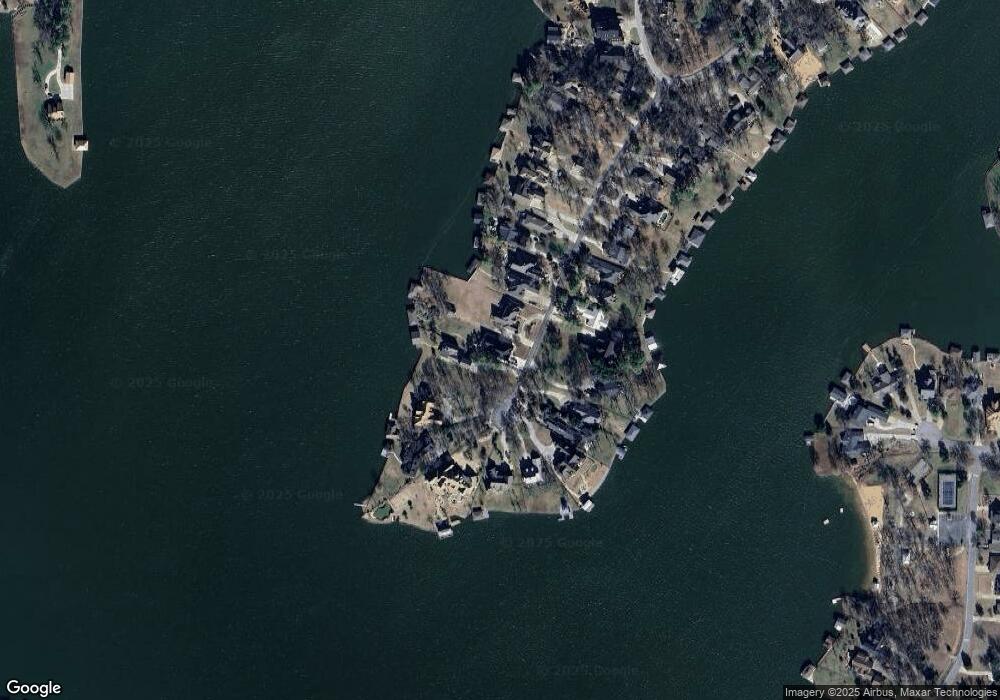
Map
Nearby Homes
- Lot 2 Apache Cove
- Lot 3 Apache Cove
- Lot 7 Apache Cove
- Lot 6 Apache Cove
- Lot 1 Apache Cove
- Lot 8 Apache Cove
- Lot 4 Apache Cove
- Lot 5 Apache Cove
- 116 Seminole Dr
- 104 Pontiac Dr
- 114 Seminole Dr
- 501 Kiowa Dr E
- 203 Kiowa Dr W
- 100 Kiowa Dr S
- 102 Bowie Cove
- 101 Kiowa Dr S
- 736 Kiowa Dr W
- 100 Huron Trail
- 102 Huron Trail
- 734 Kiowa Dr W