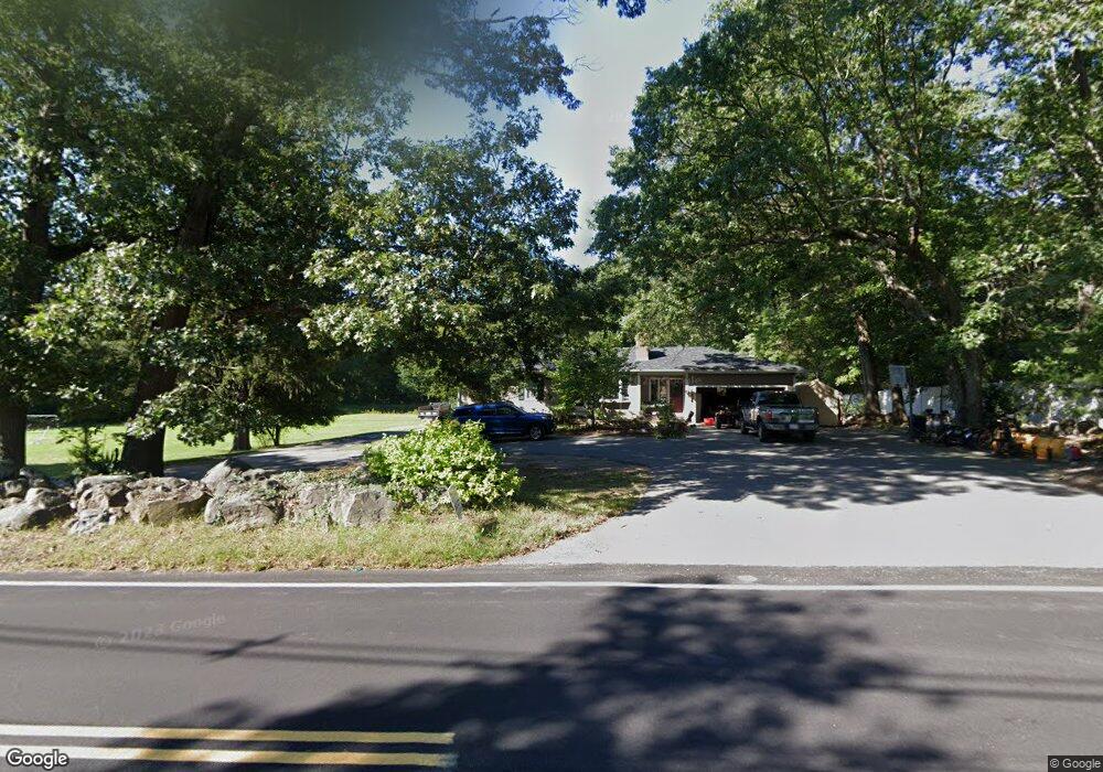
127 Holliston St Medway, MA 02053
Estimated Value: $520,000 - $687,000
3
Beds
2
Baths
1,188
Sq Ft
$516/Sq Ft
Est. Value
About This Home
This home is located at 127 Holliston St, Medway, MA 02053 and is currently estimated at $612,450, approximately $515 per square foot. 127 Holliston St is a home located in Norfolk County with nearby schools including John D. McGovern Elementary School, Burke-Memorial Elementary, and Medway Middle School.
Ownership History
Date
Name
Owned For
Owner Type
Purchase Details
Closed on
Apr 24, 2018
Sold by
Lydon Priscilla J Est
Bought by
Madmoejoe Llc
Current Estimated Value
Home Financials for this Owner
Home Financials are based on the most recent Mortgage that was taken out on this home.
Original Mortgage
$225,000
Outstanding Balance
$193,586
Interest Rate
4.46%
Mortgage Type
New Conventional
Estimated Equity
$418,864
Purchase Details
Closed on
May 31, 2007
Sold by
Lydon Priscilla J
Bought by
Mill Dede K and Mill James A
Create a Home Valuation Report for This Property
The Home Valuation Report is an in-depth analysis detailing your home's value as well as a comparison with similar homes in the area
Home Values in the Area
Average Home Value in this Area
Purchase History
| Date | Buyer | Sale Price | Title Company |
|---|---|---|---|
| Madmoejoe Llc | $300,000 | -- | |
| Mill Dede K | -- | -- |
Source: Public Records
Mortgage History
| Date | Status | Borrower | Loan Amount |
|---|---|---|---|
| Open | Madmoejoe Llc | $225,000 |
Source: Public Records
Tax History Compared to Growth
Tax History
| Year | Tax Paid | Tax Assessment Tax Assessment Total Assessment is a certain percentage of the fair market value that is determined by local assessors to be the total taxable value of land and additions on the property. | Land | Improvement |
|---|---|---|---|---|
| 2025 | $7,564 | $530,800 | $285,400 | $245,400 |
| 2024 | $7,644 | $530,800 | $285,400 | $245,400 |
| 2023 | $7,301 | $458,000 | $246,200 | $211,800 |
| 2022 | $7,287 | $430,400 | $220,100 | $210,300 |
| 2021 | $6,850 | $392,300 | $198,300 | $194,000 |
| 2020 | $6,484 | $370,500 | $176,500 | $194,000 |
| 2019 | $6,208 | $365,800 | $176,500 | $189,300 |
| 2018 | $6,077 | $344,100 | $154,800 | $189,300 |
| 2017 | $5,607 | $312,900 | $143,900 | $169,000 |
| 2016 | $5,571 | $307,600 | $138,600 | $169,000 |
| 2015 | $5,481 | $300,500 | $130,800 | $169,700 |
| 2014 | $5,224 | $277,300 | $130,200 | $147,100 |
Source: Public Records
Map
Nearby Homes
- 36 Lovering St
- 12 Lovering St
- 106 Holliston St
- 3 Meryl St
- 14 Heritage Dr
- 22 Sunset Dr
- 1 Walnut Ln
- 19 Sycamore Way Unit L40
- 30 Broken Tree Rd
- 50 Main St
- 116 Winthrop St
- 0 Hill St
- 7 Hill St
- 176 Main St Unit 3
- 12 Longmeadow Ln
- 280 Village St Unit D2
- 28 Wellington St
- 625 Norfolk St
- 4 Shaw St
- 20 Broad St Unit 6