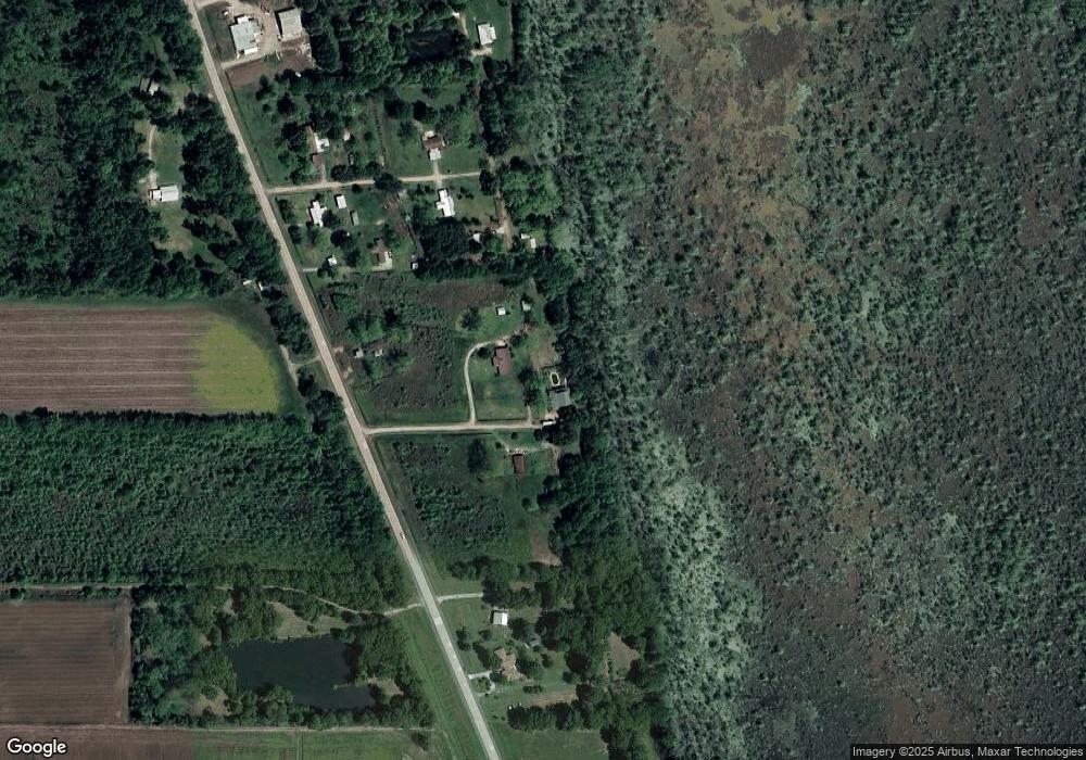
127 Hoss Smith Rd Tallulah, LA 71282
Estimated Value: $143,000 - $164,000
5
Beds
4
Baths
3,400
Sq Ft
$46/Sq Ft
Est. Value
About This Home
This home is located at 127 Hoss Smith Rd, Tallulah, LA 71282 and is currently estimated at $156,358, approximately $45 per square foot. 127 Hoss Smith Rd is a home located in Madison Parish.
Ownership History
Date
Name
Owned For
Owner Type
Purchase Details
Closed on
Jan 13, 2021
Sold by
Rudd-Smith Carmen G
Bought by
Mcdowell Emma H
Current Estimated Value
Home Financials for this Owner
Home Financials are based on the most recent Mortgage that was taken out on this home.
Original Mortgage
$135,500
Outstanding Balance
$120,934
Interest Rate
2.71%
Mortgage Type
Purchase Money Mortgage
Estimated Equity
$35,424
Purchase Details
Closed on
Nov 17, 2008
Sold by
Smith Carolyn Davis and Smith Michael Lynn
Bought by
Rudd Carmen
Create a Home Valuation Report for This Property
The Home Valuation Report is an in-depth analysis detailing your home's value as well as a comparison with similar homes in the area
Home Values in the Area
Average Home Value in this Area
Purchase History
| Date | Buyer | Sale Price | Title Company |
|---|---|---|---|
| Mcdowell Emma H | $138,000 | None Available | |
| Rudd Carmen | $125,000 | -- |
Source: Public Records
Mortgage History
| Date | Status | Borrower | Loan Amount |
|---|---|---|---|
| Open | Mcdowell Emma H | $135,500 |
Source: Public Records
Tax History Compared to Growth
Tax History
| Year | Tax Paid | Tax Assessment Tax Assessment Total Assessment is a certain percentage of the fair market value that is determined by local assessors to be the total taxable value of land and additions on the property. | Land | Improvement |
|---|---|---|---|---|
| 2024 | $1,321 | $12,035 | $400 | $11,635 |
| 2023 | $1,324 | $12,035 | $400 | $11,635 |
| 2022 | $1,323 | $12,035 | $400 | $11,635 |
| 2021 | $1,323 | $12,035 | $400 | $11,635 |
| 2020 | $1,322 | $12,035 | $400 | $11,635 |
| 2019 | $1,306 | $12,035 | $400 | $11,635 |
| 2018 | $1,305 | $12,035 | $400 | $11,635 |
| 2017 | $1,305 | $12,035 | $400 | $11,635 |
| 2016 | $1,305 | $12,035 | $400 | $11,635 |
| 2015 | $1,283 | $11,875 | $240 | $11,635 |
| 2014 | $1,262 | $11,875 | $240 | $11,635 |
Source: Public Records
Map
Nearby Homes
- 0 Felicia Dr Unit 14.22 acres 214011
- 0 Felicia Dr Unit 9.833 acres 214010
- 0 Felicia Dr Unit 24.05 acres
- 208 Sheri Kay St
- 1222 Mississippi St
- 1104 Maple St
- 1504 Mississippi St
- 105 Belle Ln
- 1310 Florida St
- 114 Burnside Dr
- 1200 Louisiana St
- 1204 Louisiana St
- 111 Burnside Dr
- 000 Highway 65
- 402 S Lincoln St
- 300 S Lincoln St
- 00 Highway 65 Unit 10.88 acres
- 0 Highway 65 Unit 5.054 acres
- 408 N Lincoln St
- 820 van Zelfden St
- 127 Hoss Smith Rd
- 127 Hoss Smith Rd
- 130 Hoss Smith Rd
- 1603 Highway 65 S
- 113 Hoss Smith Rd
- 104 Homestead Rd
- 119 Homestead Rd
- 128 Homestead Rd
- 118 Homestead Rd
- 133 Homestead Rd
- 1570 Fort Morgan Dr
- 1609 Highway 65 S
- 149 Kinderhook Dr
- 668 Verhagen Rd
- 1414 Highway 65 S
- 658 Verhagen Rd
- 2139 Sharkey Rd
- 646 Verhagen Rd
- 110 Sharkey Rd
