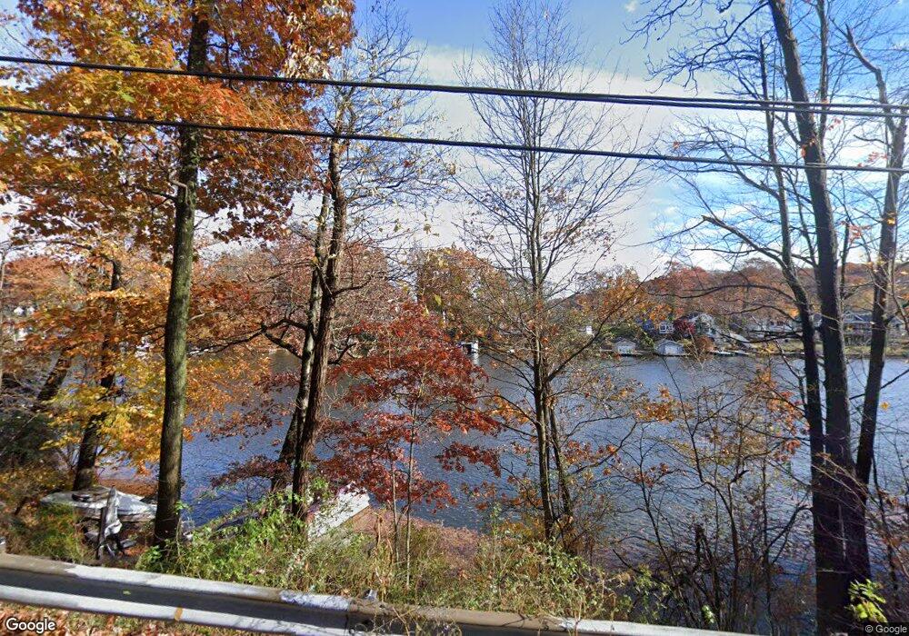
127 Hudson Ave Hopatcong, NJ 07843
Estimated Value: $231,035 - $611,000
--
Bed
--
Bath
1,651
Sq Ft
$233/Sq Ft
Est. Value
About This Home
This home is located at 127 Hudson Ave, Hopatcong, NJ 07843 and is currently estimated at $384,345, approximately $232 per square foot. 127 Hudson Ave is a home located in Sussex County with nearby schools including Hudson Maxim Elementary School, Durban Avenue Elementary School, and Tulsa Trail Elementary School.
Ownership History
Date
Name
Owned For
Owner Type
Purchase Details
Closed on
Mar 27, 2020
Sold by
Definis David and Definis Celeste A
Bought by
Dkp Development Llc
Current Estimated Value
Purchase Details
Closed on
Jul 15, 2013
Sold by
Definis Celeste A
Bought by
Definis David A
Purchase Details
Closed on
Mar 17, 2005
Sold by
Harden Bradley R
Bought by
Definis David
Purchase Details
Closed on
Feb 12, 1996
Sold by
Carriere Alaya and Carter Kenneth
Bought by
Lang Joseph J and Lang William K
Create a Home Valuation Report for This Property
The Home Valuation Report is an in-depth analysis detailing your home's value as well as a comparison with similar homes in the area
Home Values in the Area
Average Home Value in this Area
Purchase History
| Date | Buyer | Sale Price | Title Company |
|---|---|---|---|
| Dkp Development Llc | $316,000 | New Jersey Land Title | |
| Definis David A | -- | None Available | |
| Definis David | -- | -- | |
| Lang Joseph J | $10,500 | -- |
Source: Public Records
Tax History Compared to Growth
Tax History
| Year | Tax Paid | Tax Assessment Tax Assessment Total Assessment is a certain percentage of the fair market value that is determined by local assessors to be the total taxable value of land and additions on the property. | Land | Improvement |
|---|---|---|---|---|
| 2025 | $2,571 | $123,300 | $119,000 | $4,300 |
| 2024 | $1,994 | $123,300 | $119,000 | $4,300 |
| 2023 | $1,994 | $57,000 | $50,200 | $6,800 |
| 2022 | $1,955 | $57,000 | $50,200 | $6,800 |
| 2021 | $1,922 | $57,000 | $50,200 | $6,800 |
| 2020 | $1,902 | $57,000 | $50,200 | $6,800 |
| 2019 | $1,894 | $57,000 | $50,200 | $6,800 |
| 2018 | $1,890 | $57,000 | $50,200 | $6,800 |
| 2017 | $1,887 | $57,000 | $50,200 | $6,800 |
| 2016 | $1,891 | $57,000 | $50,200 | $6,800 |
| 2015 | $1,849 | $57,000 | $50,200 | $6,800 |
| 2014 | $2,353 | $72,800 | $66,000 | $6,800 |
Source: Public Records
Map
Nearby Homes
- 38 W River Styx Rd
- 5 W Unit 204
- 5 W River Styx Rd Unit 302
- 10 N River Styx Rd
- 116 Bucknell Trail
- 121 Bucknell Trail
- 176 Monroe Trail
- 8 Walton Rd
- 125 Jefferson Trail
- 8 Oneida Ave
- 151 Monroe Trail
- 17 Coolidge Trail
- 226 Chincopee Ave
- 114 Rollins Trail
- 496 River Styx Rd
- 134 Monroe Trail
- 35 Mountain Trail
- 221 Chincopee Ave
- 4 Northwestern Trail
- 720 Brooklyn Mountain Rd
- 119 Hudson Ave
- 126 Hudson Ave
- 128 Hudson Ave
- 130 Hudson Ave
- 117 Hudson Ave
- 124 Hudson Ave
- 124 Hudson Ave Unit House
- 122 Hudson Ave
- 115 Hudson Ave
- 113 Hudson Ave
- 133 Hudson Ave
- 120 Hudson Ave
- 111 Hudson Ave
- 118 Hudson Ave
- 127 Dupont Ave
- 135 Hudson Ave
- 125 Dupont Ave
- 123 Dupont Ave
- 131 Dupont Ave
- 24 W River Styx Rd