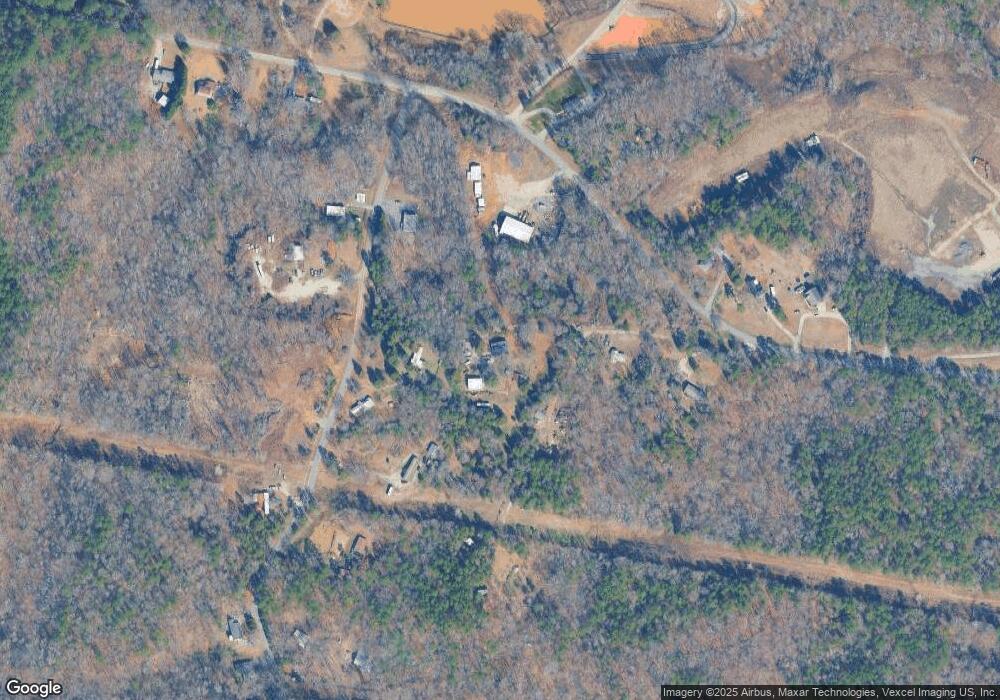
127 Hummingbird Ln Stanley, NC 28164
Estimated Value: $414,000 - $450,144
2
Beds
1
Bath
1,600
Sq Ft
$270/Sq Ft
Est. Value
About This Home
This home is located at 127 Hummingbird Ln, Stanley, NC 28164 and is currently estimated at $431,786, approximately $269 per square foot. 127 Hummingbird Ln is a home located in Gaston County with nearby schools including Pinewood Elementary School, Mount Holly Middle School, and East Gaston High School.
Ownership History
Date
Name
Owned For
Owner Type
Purchase Details
Closed on
Jul 24, 2001
Sold by
Teemley William J and Teemley Kimberly M
Bought by
Todd Sturtevant J
Current Estimated Value
Home Financials for this Owner
Home Financials are based on the most recent Mortgage that was taken out on this home.
Original Mortgage
$134,900
Outstanding Balance
$52,063
Interest Rate
7.16%
Estimated Equity
$379,724
Create a Home Valuation Report for This Property
The Home Valuation Report is an in-depth analysis detailing your home's value as well as a comparison with similar homes in the area
Home Values in the Area
Average Home Value in this Area
Purchase History
| Date | Buyer | Sale Price | Title Company |
|---|---|---|---|
| Todd Sturtevant J | $142,000 | -- |
Source: Public Records
Mortgage History
| Date | Status | Borrower | Loan Amount |
|---|---|---|---|
| Open | Todd Sturtevant J | $134,900 |
Source: Public Records
Tax History Compared to Growth
Tax History
| Year | Tax Paid | Tax Assessment Tax Assessment Total Assessment is a certain percentage of the fair market value that is determined by local assessors to be the total taxable value of land and additions on the property. | Land | Improvement |
|---|---|---|---|---|
| 2025 | $1,916 | $318,930 | $101,760 | $217,170 |
| 2024 | $1,916 | $318,930 | $101,760 | $217,170 |
| 2023 | $2,217 | $318,930 | $101,760 | $217,170 |
| 2022 | $1,583 | $202,130 | $63,810 | $138,320 |
| 2021 | $1,906 | $202,130 | $63,810 | $138,320 |
| 2019 | $1,886 | $202,130 | $63,810 | $138,320 |
| 2018 | $1,381 | $140,340 | $61,920 | $78,420 |
| 2017 | $1,313 | $133,971 | $61,920 | $72,051 |
| 2016 | $1,306 | $133,971 | $0 | $0 |
| 2014 | -- | $137,187 | $65,520 | $71,667 |
Source: Public Records
Map
Nearby Homes
- 133 Devynn Ridge Ct
- 115 Red Fox Ct
- 703 Lowland Dairy Rd
- 643 Lowland Dairy Rd
- 109 Bennett Trail Dr
- 152 Farm Springs Dr
- 108 Greenway View Ct
- 2319 Alexis Lucia Rd
- 100 Kendrick Farm Dr
- 403 Nivens Cove Rd
- 136 Crestwood Dr
- 713 Island Point Rd
- 703 Island Point Rd
- 530 Flat Rock Cemetary Rd
- 5156 Stockbridge Dr Unit 45
- 204 Kingston Dr
- 200 Kingston Dr
- 6200 Bellingham Dr
- 1713 Mount Isle Harbor Dr
- 125 Marquette Dr
- 123 Blackberry Ln
- 133 Blackberry Ln
- 117 Hummingbird Ln
- 111 Blackberry Ln
- 00 Blackberry Ln
- 120 Blackberry Ln
- 105 Hummingbird Ln
- 112 Blackberry Ln
- 543 Cox Lake Rd
- 153 Blackberry Ln
- 527 Cox Lake Rd
- 515 Cox Lake Rd
- 601 Cox Lake Rd
- 456 Cox Lake Rd
- 607 Cox Lake Rd
- 181 Blackberry Ln
- 170 Blackberry Ln
- 185 Blackberry Ln
- 438 Cox Lake Rd
- 457 Cox Lake Rd
