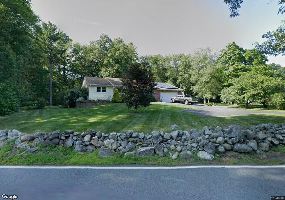
127 Hunt Rd Chelmsford, MA 01824
Littleton Road NeighborhoodEstimated Value: $699,074 - $825,000
3
Beds
2
Baths
1,558
Sq Ft
$475/Sq Ft
Est. Value
About This Home
This home is located at 127 Hunt Rd, Chelmsford, MA 01824 and is currently estimated at $739,519, approximately $474 per square foot. 127 Hunt Rd is a home located in Middlesex County with nearby schools including Parker Middle School, Knowledge Beginnings South, and Lighthouse School.
Ownership History
Date
Name
Owned For
Owner Type
Purchase Details
Closed on
Oct 12, 2021
Sold by
Mccarthy Jeremiah R
Bought by
Jeremiah R Mccarthy Ret and Mccarthy
Current Estimated Value
Purchase Details
Closed on
Mar 18, 2013
Sold by
Mccarthy Francis C
Bought by
Mccarthy Jeremiah R and Mccarthy Francis C
Purchase Details
Closed on
Jun 29, 2007
Sold by
Scaplen Stephen J and Scaplen Tasha L
Bought by
Mccarthy Francis C
Create a Home Valuation Report for This Property
The Home Valuation Report is an in-depth analysis detailing your home's value as well as a comparison with similar homes in the area
Home Values in the Area
Average Home Value in this Area
Purchase History
| Date | Buyer | Sale Price | Title Company |
|---|---|---|---|
| Jeremiah R Mccarthy Ret | -- | None Available | |
| Jeremiah R Mccarthy Ret | -- | None Available | |
| Mccarthy Jeremiah R | -- | -- | |
| Mccarthy Jeremiah R | -- | -- | |
| Mccarthy Francis C | $359,700 | -- | |
| Mccarthy Francis C | $359,700 | -- |
Source: Public Records
Mortgage History
| Date | Status | Borrower | Loan Amount |
|---|---|---|---|
| Previous Owner | Mccarthy Francis C | $200,000 | |
| Previous Owner | Mccarthy Francis C | $200,000 | |
| Previous Owner | Mccarthy Francis C | $30,000 |
Source: Public Records
Tax History Compared to Growth
Tax History
| Year | Tax Paid | Tax Assessment Tax Assessment Total Assessment is a certain percentage of the fair market value that is determined by local assessors to be the total taxable value of land and additions on the property. | Land | Improvement |
|---|---|---|---|---|
| 2025 | $8,468 | $609,200 | $316,400 | $292,800 |
| 2024 | $8,423 | $618,400 | $316,400 | $302,000 |
| 2023 | $8,164 | $568,100 | $340,000 | $228,100 |
| 2022 | $7,918 | $502,100 | $286,000 | $216,100 |
| 2021 | $7,179 | $456,100 | $262,400 | $193,700 |
| 2020 | $7,110 | $432,200 | $232,400 | $199,800 |
| 2019 | $6,847 | $418,800 | $230,000 | $188,800 |
| 2018 | $7,030 | $391,400 | $207,200 | $184,200 |
| 2017 | $6,553 | $365,700 | $194,000 | $171,700 |
| 2016 | $5,598 | $310,500 | $192,800 | $117,700 |
| 2015 | $5,451 | $291,500 | $175,200 | $116,300 |
| 2014 | $5,250 | $276,600 | $165,200 | $111,400 |
Source: Public Records
Map
Nearby Homes
- 209 New Yorker Ave
- 360 Littleton Rd Unit D4
- 360 Littleton Rd Unit C8
- 360 Littleton Rd Unit B-1
- 75 Garrison Rd
- 189 Littleton Rd Unit 10
- 181 Littleton Rd Unit 242
- 7 Amble Rd
- 20 4th Ln
- 8 Galloway Rd
- 28 Chestnut Hill Rd
- 5 Carriage Dr
- 6 Sierra Dr
- 81 Bartlett St
- 23 Bentley Ln
- 10 Aldrich Ln
- 66 Acton Rd
- 6 Clover Hill Dr
- 9 Acton Rd Unit 4
- 9 Acton Rd Unit 6