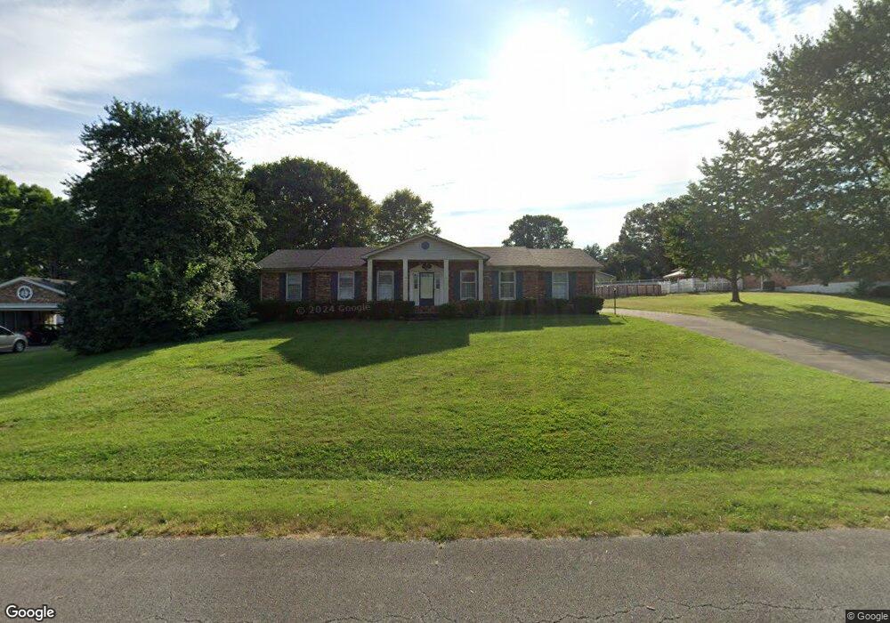
127 Hurstland Dr Bardstown, KY 40004
Estimated Value: $247,000 - $366,000
4
Beds
3
Baths
1,994
Sq Ft
$160/Sq Ft
Est. Value
About This Home
This home is located at 127 Hurstland Dr, Bardstown, KY 40004 and is currently estimated at $318,203, approximately $159 per square foot. 127 Hurstland Dr is a home located in Nelson County with nearby schools including Bardstown Elementary School, Bardstown Primary School, and Bardstown Middle School.
Ownership History
Date
Name
Owned For
Owner Type
Purchase Details
Closed on
Jan 17, 2023
Sold by
Ltl Realty Limited Liability Company
Bought by
Lighthouse Property Management Llc
Current Estimated Value
Purchase Details
Closed on
Nov 23, 2022
Sold by
Simpson Mary Freda
Bought by
Ltl Realty Limited Liability Company
Purchase Details
Closed on
Apr 18, 2005
Sold by
Arnold James E
Bought by
Simpson Mary Freda
Create a Home Valuation Report for This Property
The Home Valuation Report is an in-depth analysis detailing your home's value as well as a comparison with similar homes in the area
Home Values in the Area
Average Home Value in this Area
Purchase History
| Date | Buyer | Sale Price | Title Company |
|---|---|---|---|
| Lighthouse Property Management Llc | $130,000 | None Listed On Document | |
| Ltl Realty Limited Liability Company | $125,279 | -- | |
| Simpson Mary Freda | $147,000 | None Available |
Source: Public Records
Tax History Compared to Growth
Tax History
| Year | Tax Paid | Tax Assessment Tax Assessment Total Assessment is a certain percentage of the fair market value that is determined by local assessors to be the total taxable value of land and additions on the property. | Land | Improvement |
|---|---|---|---|---|
| 2024 | $740 | $222,600 | $0 | $0 |
| 2023 | $740 | $222,600 | $0 | $0 |
| 2022 | $763 | $222,600 | $0 | $222,600 |
| 2021 | $641 | $180,700 | $0 | $180,700 |
| 2020 | $637 | $180,700 | $0 | $180,700 |
| 2019 | $663 | $180,700 | $0 | $180,700 |
| 2018 | $670 | $180,700 | $0 | $180,700 |
| 2017 | $329 | $180,700 | $0 | $180,700 |
| 2016 | $1,702 | $180,700 | $0 | $180,700 |
| 2015 | $1,702 | $164,600 | $164,600 | $0 |
| 2014 | $1,702 | $164,600 | $164,600 | $0 |
| 2012 | $1,702 | $164,600 | $164,600 | $0 |
Source: Public Records
Map
Nearby Homes
- 111 Hurstland Dr
- 123 Westwind Trail
- 728 Beechwood Ave
- 114 Hillcrest Dr
- 522 N 4th St
- 110 E Daugherty Ave
- 351 Campbell Alley
- 511 N 3rd St
- 717 Moore Ave
- 106 Englewood Dr
- 602 W Broadway St
- 109 N Kennett Ave
- 166 Castleton Dr
- 114 N Elm Grove Ave
- 1019 N 3rd St
- 926 Woods Run Rd
- 916 Woods Run Rd
- 914 Woods Run Rd
- lots 1&2 S 2nd St
- lots 3-5 E John Fitch Ave
- 129 Hurstland Dr
- 125 Circle Dr
- 111 Westview Dr
- 113 Westview Dr
- 109 Westview Dr
- 130 Hurstland Dr
- 128 Hurstland Dr
- 132 Hurstland Dr
- 103 Spalding Ave
- 121 Hurstland Dr
- 131 Hurstland Dr
- 115 Westview Dr
- 115 Westview Dr
- 126 Hurstland Dr
- 108 Westview Dr
- 105 Spalding Ave
- 119 Circle Dr
- 182 Circle Dr
- 119 Hurstland Dr
- 110 Westview Dr