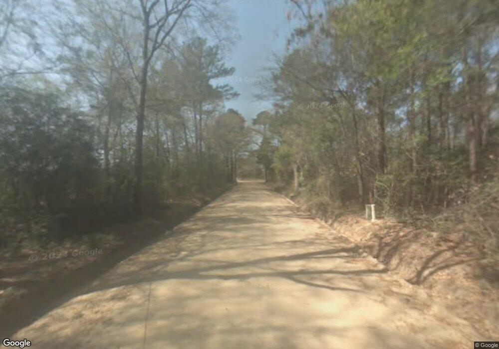
127 Ja Hart Rd Statesboro, GA 30461
Estimated Value: $486,000 - $687,000
4
Beds
4
Baths
2,900
Sq Ft
$195/Sq Ft
Est. Value
About This Home
This home is located at 127 Ja Hart Rd, Statesboro, GA 30461 and is currently estimated at $564,703, approximately $194 per square foot. 127 Ja Hart Rd is a home located in Bulloch County with nearby schools including Mill Creek Elementary School, Statesboro High School, and Langston Chapel Middle School.
Ownership History
Date
Name
Owned For
Owner Type
Purchase Details
Closed on
Nov 9, 2020
Sold by
Lewis Lindsey
Bought by
Lewis Jamie
Current Estimated Value
Purchase Details
Closed on
Dec 11, 2015
Sold by
Owens Jon E
Bought by
Lewis Lindsey and Lewis Jamie
Home Financials for this Owner
Home Financials are based on the most recent Mortgage that was taken out on this home.
Original Mortgage
$208,000
Interest Rate
4.01%
Mortgage Type
New Conventional
Purchase Details
Closed on
Apr 1, 1999
Bought by
Owens Jon E and Owens Lourie M
Purchase Details
Closed on
Feb 1, 1996
Bought by
Owens Jon E
Create a Home Valuation Report for This Property
The Home Valuation Report is an in-depth analysis detailing your home's value as well as a comparison with similar homes in the area
Home Values in the Area
Average Home Value in this Area
Purchase History
| Date | Buyer | Sale Price | Title Company |
|---|---|---|---|
| Lewis Jamie | -- | -- | |
| Lewis Lindsey | $260,000 | -- | |
| Owens Jon E | -- | -- | |
| Owens Jon E | -- | -- |
Source: Public Records
Mortgage History
| Date | Status | Borrower | Loan Amount |
|---|---|---|---|
| Previous Owner | Lewis Lindsey | $208,000 |
Source: Public Records
Tax History Compared to Growth
Tax History
| Year | Tax Paid | Tax Assessment Tax Assessment Total Assessment is a certain percentage of the fair market value that is determined by local assessors to be the total taxable value of land and additions on the property. | Land | Improvement |
|---|---|---|---|---|
| 2024 | $3,528 | $162,488 | $38,400 | $124,088 |
| 2023 | $3,424 | $144,492 | $26,520 | $117,972 |
| 2022 | $2,664 | $123,872 | $22,124 | $101,748 |
| 2021 | $2,402 | $109,166 | $22,124 | $87,042 |
| 2020 | $2,230 | $100,871 | $18,437 | $82,434 |
| 2019 | $2,247 | $101,116 | $18,437 | $82,679 |
| 2018 | $2,095 | $90,887 | $15,362 | $75,525 |
| 2017 | $2,075 | $89,094 | $15,362 | $73,732 |
| 2016 | $2,059 | $86,350 | $15,362 | $70,988 |
| 2015 | $2,101 | $87,425 | $15,362 | $72,064 |
| 2014 | $1,942 | $87,752 | $15,689 | $72,064 |
Source: Public Records
Map
Nearby Homes
- 468 Zettwell Rd
- 113 Flamingo Ln
- 0 Homer Bunch Rd Unit 10605658
- 0 Homer Bunch Rd Unit 10605370
- 138 Winding Way
- 802 N Taylor Ct
- 0 Plantation Pointe Dr Unit 10619549
- 0 Plantation Pointe Dr Unit SA340903
- 2059 Plantation Pointe Dr
- 1205 E Hampton Dr
- 0 George Moore Rd Unit 10559523
- 0 George Moore Rd Unit SA333925
- 1225 E Hampton Dr
- 731 Ogeechee Dr E
- 720 Ogeechee Dr E
- 401 Jacob Ct
- 406 Jacob Ct
- 616 Flint Ct
- 207 N Jackson Rd
- 1628 Stanford Dr
- 600 Zettwell Rd
- 394 Zettwell Rd
- 193 Jahart Rd
- 193 Ja Hart Rd
- J A Hart Rd
- 327 Jahart Rd
- J Jahart Rd
- 332 Zettwell Rd
- 399 Zettwell Rd
- 327 Ja Hart Rd
- 204 Zettwell Rd
- 0 Ja Hart Rd Unit 8215312
- 0 Ja Hart Rd Unit 8855368
- 391 Zettwell Rd
- 228 Bruce Groover Rd
- 231 Zettwell Rd
- 375 Ja Hart Rd
- 101 Zettwell Rd
- 0 Bruce Grover Rd
- 467 Ja Hart Rd
