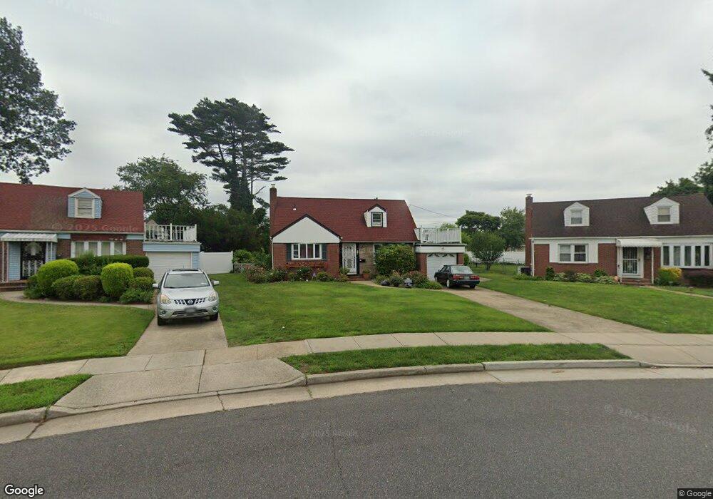
127 Jean Ave Hempstead, NY 11550
Estimated Value: $573,685 - $619,000
Studio
1
Bath
1,294
Sq Ft
$461/Sq Ft
Est. Value
About This Home
This home is located at 127 Jean Ave, Hempstead, NY 11550 and is currently estimated at $596,343, approximately $460 per square foot. 127 Jean Ave is a home located in Nassau County with nearby schools including Northern Parkway Elementary School, Lawrence Road Middle School, and Uniondale High School.
Ownership History
Date
Name
Owned For
Owner Type
Purchase Details
Closed on
Jul 24, 2009
Sold by
Beck Celena E
Bought by
Hylton Celena E
Current Estimated Value
Home Financials for this Owner
Home Financials are based on the most recent Mortgage that was taken out on this home.
Original Mortgage
$125,000
Outstanding Balance
$80,833
Interest Rate
5.21%
Mortgage Type
Purchase Money Mortgage
Estimated Equity
$515,510
Create a Home Valuation Report for This Property
The Home Valuation Report is an in-depth analysis detailing your home's value as well as a comparison with similar homes in the area
Home Values in the Area
Average Home Value in this Area
Purchase History
| Date | Buyer | Sale Price | Title Company |
|---|---|---|---|
| Hylton Celena E | $100,000 | -- | |
| Hylton Celena E | $100,000 | -- | |
| Hylton Celena E | $100,000 | -- | |
| Hylton Celena E | $100,000 | -- |
Source: Public Records
Mortgage History
| Date | Status | Borrower | Loan Amount |
|---|---|---|---|
| Open | Hylton Celena E | $125,000 | |
| Closed | Hylton Celena E | $125,000 |
Source: Public Records
Tax History
| Year | Tax Paid | Tax Assessment Tax Assessment Total Assessment is a certain percentage of the fair market value that is determined by local assessors to be the total taxable value of land and additions on the property. | Land | Improvement |
|---|---|---|---|---|
| 2025 | $4,246 | $369 | $196 | $173 |
| 2024 | $885 | $381 | $202 | $179 |
Source: Public Records
Map
Nearby Homes
- 123 Jean Ave
- 131 Jean Ave
- 4 Sunnyside Ave
- 6 Sunnyside Ave
- 2 Sunnyside Ave
- 145 Maplewood Ave
- 8 Sunnyside Ave
- 137 Maplewood Ave
- 135 Jean Ave
- 119 Jean Ave
- 133 Maplewood Ave
- 151 Maplewood Ave
- 10 Sunnyside Ave
- 12 Sunnyside Ave
- 120 Jean Ave
- 129 Maplewood Ave
- 157 Maplewood Ave
- 115 Jean Ave
- 14 Sunnyside Ave
- 51 Searing St
Your Personal Tour Guide
Ask me questions while you tour the home.