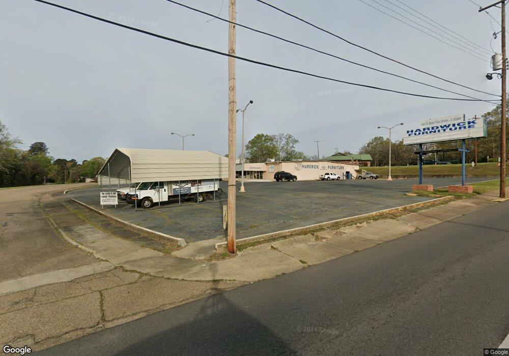
127 Joan Camden, AR 71701
Estimated Value: $365,000 - $423,914
--
Bed
5
Baths
3,286
Sq Ft
$120/Sq Ft
Est. Value
About This Home
This home is located at 127 Joan, Camden, AR 71701 and is currently estimated at $394,457, approximately $120 per square foot. 127 Joan is a home located in Ouachita County with nearby schools including Harmony Grove Elementary School, Sparkman K-12 School, and Sparkman Elementary School.
Ownership History
Date
Name
Owned For
Owner Type
Purchase Details
Closed on
Feb 27, 2025
Sold by
Mccasland Brian
Bought by
Mccasland Allison Faith
Current Estimated Value
Purchase Details
Closed on
Aug 19, 2021
Sold by
Commissioner Of State Lands
Bought by
Mccasland Brain and Mccasland Faith
Purchase Details
Closed on
Feb 22, 2006
Bought by
Mccasland Brian and Mccasland Faith
Purchase Details
Closed on
Mar 1, 2005
Bought by
Mccasland Brian and Mccasland Faith
Purchase Details
Closed on
Jun 13, 2002
Bought by
Mccasland Brian and Mccasland Faith
Create a Home Valuation Report for This Property
The Home Valuation Report is an in-depth analysis detailing your home's value as well as a comparison with similar homes in the area
Home Values in the Area
Average Home Value in this Area
Purchase History
| Date | Buyer | Sale Price | Title Company |
|---|---|---|---|
| Mccasland Allison Faith | -- | None Listed On Document | |
| Mccasland Brain | $11,255 | None Listed On Document | |
| Mccasland Brian | -- | -- | |
| Mccasland Brian | -- | -- | |
| Mccasland Brian | $12,000 | -- |
Source: Public Records
Tax History Compared to Growth
Tax History
| Year | Tax Paid | Tax Assessment Tax Assessment Total Assessment is a certain percentage of the fair market value that is determined by local assessors to be the total taxable value of land and additions on the property. | Land | Improvement |
|---|---|---|---|---|
| 2024 | $2,682 | $58,710 | $910 | $57,800 |
| 2023 | $2,757 | $58,710 | $910 | $57,800 |
| 2022 | $2,807 | $58,710 | $910 | $57,800 |
| 2021 | $2,807 | $58,710 | $910 | $57,800 |
| 2020 | $2,807 | $60,220 | $710 | $59,510 |
| 2019 | $2,889 | $60,220 | $710 | $59,510 |
| 2018 | $2,914 | $60,220 | $710 | $59,510 |
| 2017 | $2,914 | $60,220 | $710 | $59,510 |
| 2016 | $2,914 | $60,220 | $710 | $59,510 |
| 2015 | $2,577 | $60,220 | $710 | $59,510 |
| 2014 | $2,540 | $59,470 | $1,200 | $58,270 |
Source: Public Records
Map
Nearby Homes
- 180 Ouachita 404
- 112 Oak St
- 108 Oak
- 161 Ouachita 406
- 295 Ouachita 45
- 19-12s-16w Ouachita Co Ar
- 770 Ouachita 88
- 199 Ouachita 37
- Lots Jonquil
- 101 Shepherd Ave
- 234 E Busbee St
- 102 Shepherd Ave
- 239 E Ingram St
- 115 S Womble Ave
- 429 Maple St
- 437 Maple St
- 228 E Ingram St
- 500 E Ingram St
- 306 Alley B
- Ouachita Road 437 Unit LotWP001
- 199 Charlotte Ann
- 135 Joan
- 192 Charlotte Ann
- 167 Joan
- 153 Joan
- 167 Ouachita 400
- 163 Ouachita 400
- 181 Charlotte Ann
- 156 Charlotte Ann
- 175 Charlotte Ann
- 164 Ouachita 400
- 159 Ouachita 400
- 160 Ouachita 400
- 157 Charlotte Ann
- 151 Ouachita 400
- 150 Ouachita 400
- 103 Virginia
- 139 Ouachita 400
- 135 Ouachita 400
- 129 Virginia
