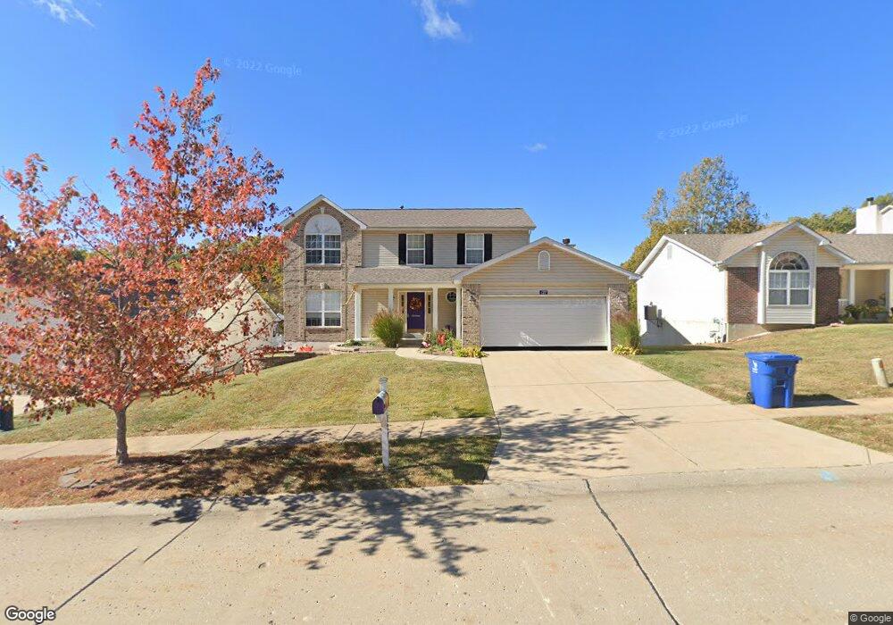
127 Keystone Dr Fenton, MO 63026
Estimated Value: $354,000 - $411,000
--
Bed
1
Bath
1,229
Sq Ft
$312/Sq Ft
Est. Value
About This Home
This home is located at 127 Keystone Dr, Fenton, MO 63026 and is currently estimated at $382,896, approximately $311 per square foot. 127 Keystone Dr is a home located in Jefferson County with nearby schools including George Guffey Elementary School, Ridgewood Middle School, and Fox Senior High School.
Ownership History
Date
Name
Owned For
Owner Type
Purchase Details
Closed on
Nov 17, 2015
Sold by
Smith Carolyn and Glasscock Keven
Bought by
Smith Carolyn
Current Estimated Value
Home Financials for this Owner
Home Financials are based on the most recent Mortgage that was taken out on this home.
Original Mortgage
$122,200
Outstanding Balance
$96,149
Interest Rate
3.8%
Mortgage Type
New Conventional
Estimated Equity
$286,747
Purchase Details
Closed on
Jan 19, 2001
Sold by
Ed Crow Corp
Bought by
Glasscock Kevin J and Glasscock Carolyn A
Home Financials for this Owner
Home Financials are based on the most recent Mortgage that was taken out on this home.
Original Mortgage
$128,000
Interest Rate
7.55%
Purchase Details
Closed on
Sep 27, 2000
Sold by
Kaplan Development & Inv Co
Bought by
Ed Crow Corp
Home Financials for this Owner
Home Financials are based on the most recent Mortgage that was taken out on this home.
Original Mortgage
$169,055
Interest Rate
7.97%
Create a Home Valuation Report for This Property
The Home Valuation Report is an in-depth analysis detailing your home's value as well as a comparison with similar homes in the area
Home Values in the Area
Average Home Value in this Area
Purchase History
| Date | Buyer | Sale Price | Title Company |
|---|---|---|---|
| Smith Carolyn | -- | None Available | |
| Glasscock Kevin J | -- | Commonwealth Title | |
| Ed Crow Corp | -- | Commonwealth Title |
Source: Public Records
Mortgage History
| Date | Status | Borrower | Loan Amount |
|---|---|---|---|
| Open | Smith Carolyn | $122,200 | |
| Closed | Glasscock Kevin J | $128,000 | |
| Previous Owner | Ed Crow Corp | $169,055 |
Source: Public Records
Tax History Compared to Growth
Tax History
| Year | Tax Paid | Tax Assessment Tax Assessment Total Assessment is a certain percentage of the fair market value that is determined by local assessors to be the total taxable value of land and additions on the property. | Land | Improvement |
|---|---|---|---|---|
| 2025 | $3,378 | $51,300 | $9,600 | $41,700 |
| 2024 | $3,378 | $46,100 | $7,700 | $38,400 |
| 2023 | $3,378 | $46,100 | $7,700 | $38,400 |
| 2022 | $3,168 | $43,200 | $4,800 | $38,400 |
| 2021 | $3,168 | $43,200 | $4,800 | $38,400 |
| 2020 | $3,039 | $39,000 | $4,200 | $34,800 |
| 2019 | $3,042 | $39,000 | $4,200 | $34,800 |
| 2018 | $3,033 | $39,000 | $4,200 | $34,800 |
| 2017 | $2,941 | $39,000 | $4,200 | $34,800 |
| 2016 | $2,710 | $36,100 | $4,000 | $32,100 |
| 2015 | $2,621 | $36,100 | $4,000 | $32,100 |
| 2013 | -- | $35,500 | $4,000 | $31,500 |
Source: Public Records
Map
Nearby Homes
- 845 Kingston Hills Ct
- 1077 Big Sky Dr
- 104 Fenton Park Ct
- 813 Kingston Hills Ct
- 136 Winter Valley Dr
- 2 Bluebird Ln
- 41 San Marino Pkwy
- 150 Winter Park Ct
- 651 Green Jade Dr Unit G
- 642 S Old Highway 141 Unit F
- 166 Samarra Estates Dr Unit G
- 990 Hydeaway Ct
- 802 Fox Creek Dr
- 465 Winter Bluff Dr
- 115 Harbor Ct
- 1010 Winter Lake Dr
- 615 Corisande Hill Rd
- 60 Stone Cliff Dr
- 2 Autumn Bluffs Ct
- 901 Oak Dr
- 123 Keystone Dr
- 131 Keystone Dr
- 135 Keystone Dr
- 115 Keystone Dr
- 128 Keystone Dr
- 124 Keystone Dr
- 848 Brock Rd
- 848A Brock Rd
- 139 Keystone Dr
- 120 Keystone Dr
- 132 Keystone Dr
- 132 Keystone Dr
- 116 Keystone Dr
- 136 Keystone Dr
- 140 Keystone Dr
- 112 Keystone Dr
- 107 Keystone Dr
- 1009 Big Sky Dr
- 144 Keystone Dr
- 145 Keystone Dr