127 Knightsbridge Rd Wynnewood, PA 19096
Lower Merion NeighborhoodEstimated Value: $2,753,000 - $3,765,000
6
Beds
4
Baths
11,232
Sq Ft
$276/Sq Ft
Est. Value
About This Home
This home is located at 127 Knightsbridge Rd, Wynnewood, PA 19096 and is currently estimated at $3,102,070, approximately $276 per square foot. 127 Knightsbridge Rd is a home located in Montgomery County with nearby schools including Penn Valley School, Welsh Valley Middle School, and Lower Merion High School.
Ownership History
Date
Name
Owned For
Owner Type
Purchase Details
Closed on
Jan 28, 1998
Sold by
Pennmark Management Co Inc
Bought by
Butcher Mary Ann
Current Estimated Value
Purchase Details
Closed on
Aug 28, 1996
Sold by
Butcher Mary Ann
Bought by
Pennmark Management Company Inc and Forevergreen Trust
Purchase Details
Closed on
Jun 20, 1996
Sold by
Feldman Milton A
Bought by
Butcher Mary Ann
Create a Home Valuation Report for This Property
The Home Valuation Report is an in-depth analysis detailing your home's value as well as a comparison with similar homes in the area
Home Values in the Area
Average Home Value in this Area
Purchase History
| Date | Buyer | Sale Price | Title Company |
|---|---|---|---|
| Butcher Mary Ann | -- | -- | |
| Pennmark Management Company Inc | -- | -- | |
| Butcher Mary Ann | -- | -- |
Source: Public Records
Tax History Compared to Growth
Tax History
| Year | Tax Paid | Tax Assessment Tax Assessment Total Assessment is a certain percentage of the fair market value that is determined by local assessors to be the total taxable value of land and additions on the property. | Land | Improvement |
|---|---|---|---|---|
| 2025 | $60,972 | $1,460,000 | $388,910 | $1,071,090 |
| 2024 | $60,972 | $1,460,000 | $388,910 | $1,071,090 |
| 2023 | $58,431 | $1,460,000 | $388,910 | $1,071,090 |
| 2022 | $57,349 | $1,460,000 | $388,910 | $1,071,090 |
| 2021 | $56,043 | $1,460,000 | $388,910 | $1,071,090 |
| 2020 | $54,674 | $1,460,000 | $388,910 | $1,071,090 |
| 2019 | $53,709 | $1,460,000 | $388,910 | $1,071,090 |
| 2018 | $53,708 | $1,460,000 | $388,910 | $1,071,090 |
| 2017 | $51,736 | $1,460,000 | $388,910 | $1,071,090 |
| 2016 | $51,166 | $1,460,000 | $388,910 | $1,071,090 |
| 2015 | $47,706 | $1,460,000 | $388,910 | $1,071,090 |
| 2014 | $47,706 | $1,460,000 | $388,910 | $1,071,090 |
Source: Public Records
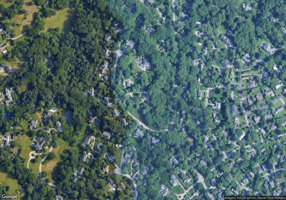
Map
Nearby Homes
- 226 Mcclenaghan Mill Rd
- 30 Old Gulph Rd
- 1334 Montgomery Ave Unit G-3
- 9 Hansen Ct
- 414 Mcclenaghan Mill Rd
- 26 Old Gulph Rd
- 521 Homewood Ave
- 222 E Montgomery Ave Unit 304
- 239 Old Gulph Rd
- 23 Sabine Ave
- 603 Old Gulph Rd
- 330 Dudley Ave
- 314 Dudley Ave Unit 25
- 1968 W Montgomery Ave
- 216 Laurel Ln
- 56 Crosby Brown Rd
- 103 W Montgomery Ave Unit 1A
- 14 Simpson Rd
- 302 Brentford Rd
- 264 W Montgomery Ave Unit 304
- 121 Knightsbridge Rd
- 145 Knightsbridge Rd
- 136 Knightsbridge Rd
- 132 Knightsbridge Rd
- 128 Knightsbridge Rd
- 140 Knightsbridge Rd
- 113 Knightsbridge Rd
- 221 Gypsy Ln
- 144 Knightsbridge Rd
- 223 Gypsy Ln Unit 34
- 217 Gypsy Ln
- 229 Gypsy Ln
- 525 S Sydbury Ln
- 120 Knightsbridge Rd
- 215 Gypsy Ln Unit 20
- 110 Knightsbridge Rd
- 737 Cherry Cir
- 526 S Sydbury Ln
- 235 Gypsy Ln
- 733 Cherry Cir