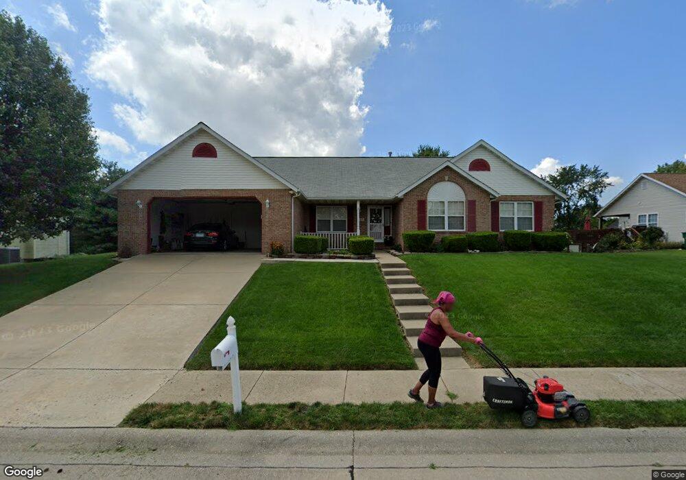
127 Knob Creek Ln O Fallon, IL 62269
Estimated Value: $345,951 - $430,000
4
Beds
3
Baths
1,946
Sq Ft
$198/Sq Ft
Est. Value
About This Home
This home is located at 127 Knob Creek Ln, O Fallon, IL 62269 and is currently estimated at $384,738, approximately $197 per square foot. 127 Knob Creek Ln is a home located in St. Clair County with nearby schools including Moye Elementary School, Fulton Junior High School, and O'Fallon Township High School.
Ownership History
Date
Name
Owned For
Owner Type
Purchase Details
Closed on
Aug 22, 2008
Sold by
Tarry Clarence
Bought by
Tarry Katie M
Current Estimated Value
Home Financials for this Owner
Home Financials are based on the most recent Mortgage that was taken out on this home.
Original Mortgage
$160,000
Outstanding Balance
$104,909
Interest Rate
6.31%
Mortgage Type
Purchase Money Mortgage
Estimated Equity
$279,829
Purchase Details
Closed on
Apr 28, 1999
Bought by
Tarry Katie M
Create a Home Valuation Report for This Property
The Home Valuation Report is an in-depth analysis detailing your home's value as well as a comparison with similar homes in the area
Home Values in the Area
Average Home Value in this Area
Purchase History
| Date | Buyer | Sale Price | Title Company |
|---|---|---|---|
| Tarry Katie M | -- | Fatic | |
| Tarry Katie M | $179,000 | -- |
Source: Public Records
Mortgage History
| Date | Status | Borrower | Loan Amount |
|---|---|---|---|
| Open | Tarry Katie M | $160,000 |
Source: Public Records
Tax History Compared to Growth
Tax History
| Year | Tax Paid | Tax Assessment Tax Assessment Total Assessment is a certain percentage of the fair market value that is determined by local assessors to be the total taxable value of land and additions on the property. | Land | Improvement |
|---|---|---|---|---|
| 2024 | $6,913 | $100,842 | $19,581 | $81,261 |
| 2023 | $6,327 | $89,502 | $17,379 | $72,123 |
| 2022 | $5,946 | $82,286 | $15,978 | $66,308 |
| 2021 | $5,633 | $76,957 | $16,028 | $60,929 |
| 2020 | $6,068 | $72,847 | $15,172 | $57,675 |
| 2019 | $5,938 | $72,847 | $15,172 | $57,675 |
| 2018 | $5,786 | $70,733 | $14,732 | $56,001 |
| 2017 | $6,205 | $73,143 | $16,667 | $56,476 |
| 2016 | $6,188 | $71,436 | $16,278 | $55,158 |
| 2014 | $5,640 | $70,610 | $16,090 | $54,520 |
| 2013 | $5,330 | $71,691 | $15,843 | $55,848 |
Source: Public Records
Map
Nearby Homes
- 157 Knob Creek Ln
- 1588 Turn Creek Ct
- 109 Callaway Ct
- 108 Chickasaw Ln
- 213 Hodgens Mill Ln
- 1551 N Parc Grove Ct
- 1845 Riviera Ln
- 1830 Riviera Ln
- 1676 Lancaster Dr
- 1183 Tazewell Dr
- 323 Moultrie Ln
- 1217 Usher Dr
- 1342 Stone Creek Dr
- 1509 Cedar Ridge Dr
- 536 Mercer Ct
- 1221 Seward Dr
- 1217 Dempcy Ln
- 30 Shallowbrook Dr
- 14 Shallowbrook Dr
- 500 Lake Vista Way
- 123 Knob Creek Ln
- 131 Knob Creek Ln
- 126 Knob Creek Ln
- 130 Knob Creek Ln
- 1583 Ryannie Ct
- 145 Knob Creek Ln
- 1583 Ryannie Cir
- 1583 Allyssa Creek Ct
- 134 Knob Creek Ln
- 1560 Sinking Springs Dr
- 138 Knob Creek Ln
- 119 Knob Creek Ln
- 1582 Ryannie Ct
- 1582 Ryannie Cir
- 1585 Turn Creek Ct
- 142 Knob Creek Ln
- 1579 Allyssa Creek Ct
- 1589 Turn Creek Ct
- 1564 Sinking Springs Dr
- 1578 Allyssa Creek Ct