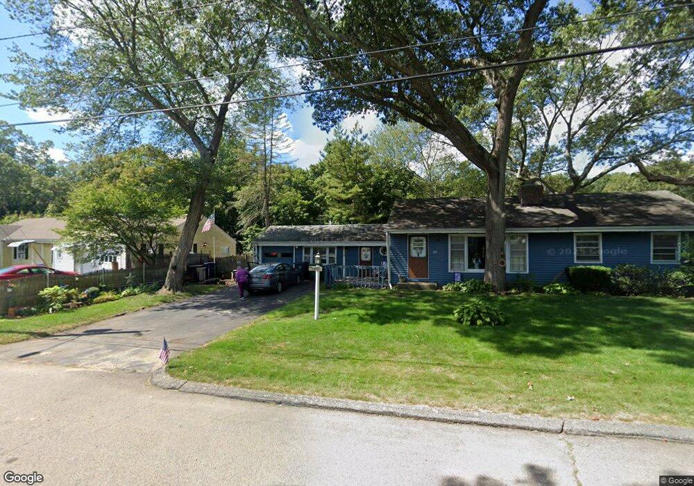
127 Lancaster Ave Warwick, RI 02886
Greenwood NeighborhoodEstimated Value: $395,001 - $459,000
2
Beds
1
Bath
1,362
Sq Ft
$319/Sq Ft
Est. Value
About This Home
This home is located at 127 Lancaster Ave, Warwick, RI 02886 and is currently estimated at $434,500, approximately $319 per square foot. 127 Lancaster Ave is a home located in Kent County with nearby schools including Islamic School of Rhode Island and St Joseph School.
Ownership History
Date
Name
Owned For
Owner Type
Purchase Details
Closed on
May 23, 2024
Sold by
Carr Richard O and Carr Kathleen J
Bought by
Desjardins Jennifer C
Current Estimated Value
Create a Home Valuation Report for This Property
The Home Valuation Report is an in-depth analysis detailing your home's value as well as a comparison with similar homes in the area
Home Values in the Area
Average Home Value in this Area
Purchase History
| Date | Buyer | Sale Price | Title Company |
|---|---|---|---|
| Desjardins Jennifer C | -- | None Available | |
| Desjardins Jennifer C | -- | None Available |
Source: Public Records
Tax History
| Year | Tax Paid | Tax Assessment Tax Assessment Total Assessment is a certain percentage of the fair market value that is determined by local assessors to be the total taxable value of land and additions on the property. | Land | Improvement |
|---|---|---|---|---|
| 2025 | $4,318 | $340,000 | $115,600 | $224,400 |
| 2024 | $4,248 | $293,600 | $100,500 | $193,100 |
| 2023 | $4,166 | $293,600 | $100,500 | $193,100 |
| 2022 | $3,952 | $211,000 | $68,100 | $142,900 |
| 2021 | $3,952 | $211,000 | $68,100 | $142,900 |
| 2020 | $3,952 | $211,000 | $68,100 | $142,900 |
| 2019 | $3,952 | $211,000 | $68,100 | $142,900 |
| 2018 | $3,844 | $184,800 | $74,900 | $109,900 |
| 2017 | $3,740 | $184,800 | $74,900 | $109,900 |
| 2016 | $3,740 | $184,800 | $74,900 | $109,900 |
| 2015 | $3,463 | $166,900 | $61,000 | $105,900 |
| 2014 | $3,348 | $166,900 | $61,000 | $105,900 |
| 2013 | $3,303 | $166,900 | $61,000 | $105,900 |
Source: Public Records
Map
Nearby Homes
- 139 Lancaster Ave
- 27 Great Oak Dr
- 36 Great Oak Dr
- 333 Greenwood Ave
- 2907 Post Rd Unit 4
- 2907 Post Rd Unit 2
- 2907 Post Rd Unit 3
- 52 Benefit St
- 219 Brian Dr
- 84 Spruce St
- 69 Haverhill Ave
- 403 Commonwealth Ave
- 3399 Post Rd Unit 15
- 6 Lillian Ct
- 151 Drum Rock Ave
- 833 Halifax Dr
- 237 Commonwealth Ave
- 892 Halifax Dr
- 11 College Hill Rd Unit 5B
- 11 College Hill Rd Unit 4A
- 119 Lancaster Ave
- 160 Vancouver Ave
- 150 Vancouver Ave
- 6 Montgomery St
- 170 Vancouver Ave
- 111 Lancaster Ave
- 110 Lancaster Ave
- 140 Lancaster Ave
- 140 Vancouver Ave
- 147 Lancaster Ave
- 16 Montgomery St
- 155 Vancouver Ave
- 180 Vancouver Ave
- 102 Lancaster Ave
- 87 Rutherford Ave
- 15 Montgomery St
- 147 Vancouver Ave
- 150 Lancaster Ave
- 167 Vancouver Ave
- 95 Lancaster Ave
Your Personal Tour Guide
Ask me questions while you tour the home.