127 Lanes End Rd Locust, NC 28097
Estimated Value: $492,000 - $686,000
3
Beds
2
Baths
3,026
Sq Ft
$189/Sq Ft
Est. Value
About This Home
This home is located at 127 Lanes End Rd, Locust, NC 28097 and is currently estimated at $571,419, approximately $188 per square foot. 127 Lanes End Rd is a home located in Stanly County with nearby schools including Locust Elementary School, West Stanly Middle School, and West Stanly High School.
Ownership History
Date
Name
Owned For
Owner Type
Purchase Details
Closed on
Aug 23, 2019
Sold by
Almond Harold Dean and Almond Maryanne H
Bought by
Mccraven Amanda Almond
Current Estimated Value
Home Financials for this Owner
Home Financials are based on the most recent Mortgage that was taken out on this home.
Original Mortgage
$170,000
Outstanding Balance
$148,565
Interest Rate
3.7%
Mortgage Type
New Conventional
Estimated Equity
$422,854
Create a Home Valuation Report for This Property
The Home Valuation Report is an in-depth analysis detailing your home's value as well as a comparison with similar homes in the area
Home Values in the Area
Average Home Value in this Area
Purchase History
| Date | Buyer | Sale Price | Title Company |
|---|---|---|---|
| Mccraven Amanda Almond | $340,000 | None Available |
Source: Public Records
Mortgage History
| Date | Status | Borrower | Loan Amount |
|---|---|---|---|
| Open | Mccraven Amanda Almond | $170,000 |
Source: Public Records
Tax History Compared to Growth
Tax History
| Year | Tax Paid | Tax Assessment Tax Assessment Total Assessment is a certain percentage of the fair market value that is determined by local assessors to be the total taxable value of land and additions on the property. | Land | Improvement |
|---|---|---|---|---|
| 2025 | $4,452 | $483,863 | $80,430 | $403,433 |
| 2024 | $3,935 | $361,028 | $49,690 | $311,338 |
| 2023 | $4,055 | $361,028 | $49,690 | $311,338 |
| 2022 | $4,019 | $361,028 | $49,690 | $311,338 |
| 2021 | $3,754 | $339,603 | $49,690 | $289,913 |
| 2020 | $3,052 | $262,196 | $42,005 | $220,191 |
Source: Public Records
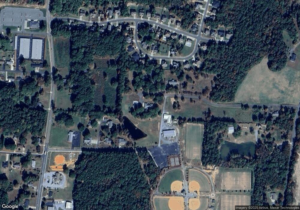
Map
Nearby Homes
- 24990 Birdhouse Ln Unit 4
- 206 Delancy St
- 319 N Central Ave
- 117 Danita Dr
- 134 Kerri Dawn Ln
- 146 Kerri Dawn Ln
- 107 Cypress St
- 219 Kerri Dawn Ln
- 417 Kiser Ln
- 230 Battery Dr
- 606 Elm St
- 700 Elm St
- 402 Church St
- 211 Drive Inn Rd
- 169 Abigail Ln
- 110 Forest Dr
- 206 Montclair Dr
- 716 Saddlebred Ln
- 347 Carolina Hemlock Dr
- 421 Carolina Hemlock Dr
- 120 Lanes End Rd
- 217 Lion Club Dr
- 112 Vanderbilt Cir
- 116 Hartsell Ct
- 110 Vanderbilt Cir
- 114 Vanderbilt Cir
- 116 Vanderbilt Cir
- 108 Vanderbilt Cir Unit 8
- 106 Hartsell Ct
- 118 Vanderbilt Cir Unit 13
- 105 Vanderbilt Cir
- 107 Vanderbilt Cir
- 115 Hartsell Ct
- 106 Vanderbilt Cir Unit 7
- 109 Vanderbilt Cir
- 103 Vanderbilt Cir
- 103 Vanderbilt Cir Unit 55
- 120 Vanderbilt Cir
- 105 Hartsell Ct
- 104 Vanderbilt Cir