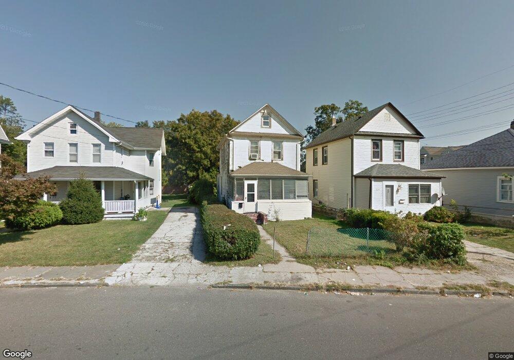
127 Liberty St Long Branch, NJ 07740
Estimated Value: $421,000 - $471,000
2
Beds
1
Bath
1,116
Sq Ft
$398/Sq Ft
Est. Value
About This Home
This home is located at 127 Liberty St, Long Branch, NJ 07740 and is currently estimated at $444,684, approximately $398 per square foot. 127 Liberty St is a home located in Monmouth County with nearby schools including Long Branch High School and Holy Trinity School.
Ownership History
Date
Name
Owned For
Owner Type
Purchase Details
Closed on
Apr 1, 2022
Sold by
Vendee Mortgage Trust
Bought by
Seward Rose Marie
Current Estimated Value
Purchase Details
Closed on
Mar 3, 2022
Sold by
Secretary Of Veterans Affairs
Bought by
Vendee Mortgage Trust
Purchase Details
Closed on
Apr 29, 1991
Bought by
Secretary Of Veterans Affairs
Create a Home Valuation Report for This Property
The Home Valuation Report is an in-depth analysis detailing your home's value as well as a comparison with similar homes in the area
Home Values in the Area
Average Home Value in this Area
Purchase History
| Date | Buyer | Sale Price | Title Company |
|---|---|---|---|
| Seward Rose Marie | $45,700 | Mccabe Weisberg & Conway Llc | |
| Seward Rose Marie | $45,700 | None Listed On Document | |
| Vendee Mortgage Trust | $45,700 | Mccabe Weisberg & Conway Llc | |
| Vendee Mortgage Trust | $45,700 | None Listed On Document | |
| Secretary Of Veterans Affairs | $100 | -- |
Source: Public Records
Tax History Compared to Growth
Tax History
| Year | Tax Paid | Tax Assessment Tax Assessment Total Assessment is a certain percentage of the fair market value that is determined by local assessors to be the total taxable value of land and additions on the property. | Land | Improvement |
|---|---|---|---|---|
| 2025 | $5,057 | $392,200 | $191,400 | $200,800 |
| 2024 | $4,664 | $329,000 | $136,900 | $192,100 |
| 2023 | $4,664 | $300,300 | $116,900 | $183,400 |
| 2022 | $2,761 | $176,400 | $66,900 | $109,500 |
| 2021 | $2,761 | $138,000 | $35,600 | $102,400 |
| 2020 | $2,746 | $131,400 | $29,600 | $101,800 |
| 2019 | $2,682 | $127,600 | $30,600 | $97,000 |
| 2018 | $2,539 | $120,100 | $26,600 | $93,500 |
| 2017 | $2,397 | $116,300 | $24,600 | $91,700 |
| 2016 | $2,322 | $114,900 | $25,600 | $89,300 |
| 2015 | $2,076 | $93,200 | $37,100 | $56,100 |
| 2014 | $2,119 | $100,300 | $50,600 | $49,700 |
Source: Public Records
Map
Nearby Homes
- 40 University Dr
- 40 Seaview Ave Unit A
- 151 N 5th Ave
- 211 Rockwell Ave
- 231 Long Branch Ave
- 22 Cooper Ave Unit 113
- 22 Cooper Ave Unit 309
- 22 Cooper Ave Unit 110
- 40 N 5th Ave
- 33 Cooper Ave Unit 213
- 33 Cooper Ave Unit 410
- 184 N 5th Ave
- 78 Ocean Terrace
- 148 Sixth Ave
- 200 Ocean Ave N Unit 13
- 200 Ocean Ave N Unit 19
- 138 Rosewood Ave
- 188 Chelton Ave
- 172 Chelton Ave
- 422 Ocean Blvd N Unit 5H
- 125 Liberty St
- 131 Liberty St
- 121 Liberty St
- 135 Liberty St
- 137 Liberty St
- 141 Liberty St
- 141 Central Ave
- 136 Liberty St
- 16 Ellis Ave
- 139 Central Ave
- 145 Liberty St
- 140 Liberty St
- 14 Ellis Ave
- 14 Ellis Ave Unit 14A
- 137 Central Ave
- 8 Ellis Ave Unit 2
- 8 Ellis Ave
- 114 Liberty St
- 144 Liberty St
- 112 Liberty St