127 Lightfoot Dr Louisburg, NC 27549
Estimated Value: $156,000 - $222,000
1
Bed
1
Bath
1,080
Sq Ft
$175/Sq Ft
Est. Value
About This Home
This home is located at 127 Lightfoot Dr, Louisburg, NC 27549 and is currently estimated at $189,421, approximately $175 per square foot. 127 Lightfoot Dr is a home with nearby schools including Edward Best Elementary School, Bunn Middle School, and Bunn High School.
Ownership History
Date
Name
Owned For
Owner Type
Purchase Details
Closed on
Jan 5, 2018
Sold by
Mcclaran Todd and Mcclaran Veronica
Bought by
Mcclaran Todd and Mcclaran Veronica
Current Estimated Value
Purchase Details
Closed on
Jan 31, 2017
Sold by
Folts Gregory Lee and Folts Melanie Louise
Bought by
Mcclaran Todd A and Mcclaran Veronica R
Home Financials for this Owner
Home Financials are based on the most recent Mortgage that was taken out on this home.
Original Mortgage
$25,000
Outstanding Balance
$10,659
Interest Rate
4.2%
Mortgage Type
Seller Take Back
Estimated Equity
$178,762
Purchase Details
Closed on
May 30, 2007
Sold by
Johnson Semion Melton and Johnson Claudette M
Bought by
Folts Gregory Lee and Folts Melanie Louise
Create a Home Valuation Report for This Property
The Home Valuation Report is an in-depth analysis detailing your home's value as well as a comparison with similar homes in the area
Home Values in the Area
Average Home Value in this Area
Purchase History
| Date | Buyer | Sale Price | Title Company |
|---|---|---|---|
| Mcclaran Todd | -- | None Available | |
| Mcclaran Todd A | $25,000 | Attorney | |
| Folts Gregory Lee | $10,000 | None Available |
Source: Public Records
Mortgage History
| Date | Status | Borrower | Loan Amount |
|---|---|---|---|
| Open | Mcclaran Todd A | $25,000 |
Source: Public Records
Tax History Compared to Growth
Tax History
| Year | Tax Paid | Tax Assessment Tax Assessment Total Assessment is a certain percentage of the fair market value that is determined by local assessors to be the total taxable value of land and additions on the property. | Land | Improvement |
|---|---|---|---|---|
| 2024 | $1,040 | $144,700 | $30,000 | $114,700 |
| 2023 | $103 | $12,000 | $12,000 | $0 |
| 2022 | $103 | $12,000 | $12,000 | $0 |
| 2021 | $204 | $12,000 | $12,000 | $0 |
| 2020 | $204 | $12,000 | $12,000 | $0 |
| 2019 | $104 | $12,000 | $12,000 | $0 |
| 2018 | $52 | $6,000 | $6,000 | $0 |
| 2017 | $57 | $6,000 | $6,000 | $0 |
| 2016 | $60 | $6,000 | $6,000 | $0 |
| 2015 | $60 | $6,000 | $6,000 | $0 |
| 2014 | $56 | $6,000 | $6,000 | $0 |
Source: Public Records
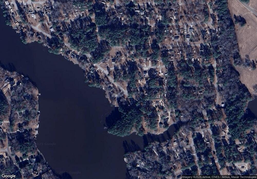
Map
Nearby Homes
- 113 Lightfoot Dr
- 109-111 Geronimo Dr
- 106 Desoto Dr
- 108 Geronimo Dr
- 108 Big Horn Dr
- 103 Big Horn Dr
- 1547 Sagamore Dr
- 123 Winnebago Loop
- 131 Winnebago Loop
- 171 Winnebago Loop
- 150 Big Horn Cove
- 1605 Sagamore Dr
- 117 Ute Ln
- 119 Ute Ln
- 1412 Sagamore Dr
- 178 Nakoma Dr
- 104 Pontiac Cove
- 123 Wichita Way
- 108 Red Oak Dr
- 111-113 Red Oak Dr
- 136 Tonto Dr
- 136 Tonto Dr Unit C1139
- 133 Tonto Dr
- 140 Tonto Dr
- 140 Tonto Dr Unit C-1137
- 137 Tonto Dr
- 119 Lightfoot Dr
- 135 Lightfoot Dr
- 127 Tonto Dr
- 115 Lightfoot Dr
- 130 Geronimo Dr
- 116/118 Lightfoot Dr
- 123 Lightfoot Dr
- 103 Lightfoot Dr
- 121 Lightfoot Dr
- 130-132 Lightfoot Dr
- 107 Lightfoot Dr
- 116/118 Lightfoot Dr Unit C1196+97
- 116 Lightfoot Dr
- 109 Lightfoot Dr