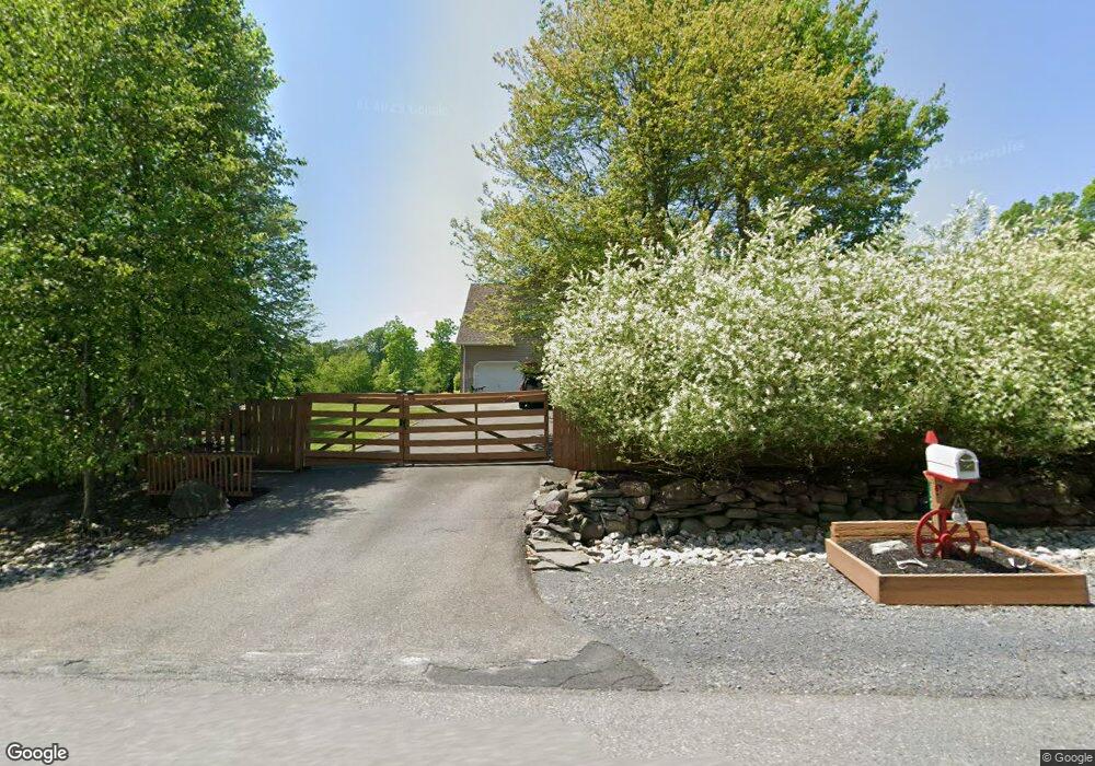
127 Mackenzie Dr East Stroudsburg, PA 18302
Estimated Value: $444,000 - $593,000
5
Beds
4
Baths
3,382
Sq Ft
$154/Sq Ft
Est. Value
About This Home
This home is located at 127 Mackenzie Dr, East Stroudsburg, PA 18302 and is currently estimated at $519,271, approximately $153 per square foot. 127 Mackenzie Dr is a home with nearby schools including East Stroudsburg Elementary School, J.T. Lambert Intermediate School, and East Stroudsburg Senior High School South.
Ownership History
Date
Name
Owned For
Owner Type
Purchase Details
Closed on
Feb 12, 2005
Sold by
Meadow Creek Inc
Bought by
Anderson Gary and Abate Elaine
Current Estimated Value
Home Financials for this Owner
Home Financials are based on the most recent Mortgage that was taken out on this home.
Original Mortgage
$67,920
Interest Rate
5.73%
Mortgage Type
Purchase Money Mortgage
Create a Home Valuation Report for This Property
The Home Valuation Report is an in-depth analysis detailing your home's value as well as a comparison with similar homes in the area
Home Values in the Area
Average Home Value in this Area
Purchase History
| Date | Buyer | Sale Price | Title Company |
|---|---|---|---|
| Anderson Gary | $84,900 | Mt Nethel Abstract Co |
Source: Public Records
Mortgage History
| Date | Status | Borrower | Loan Amount |
|---|---|---|---|
| Open | Anderson Gary | $46,000 | |
| Closed | Anderson Gary | $14,100 | |
| Open | Anderson Gary | $160,000 | |
| Closed | Anderson Gary | $145,000 | |
| Closed | Anderson Gary | $320,650 | |
| Closed | Anderson Gary | $67,920 |
Source: Public Records
Tax History Compared to Growth
Tax History
| Year | Tax Paid | Tax Assessment Tax Assessment Total Assessment is a certain percentage of the fair market value that is determined by local assessors to be the total taxable value of land and additions on the property. | Land | Improvement |
|---|---|---|---|---|
| 2025 | $2,557 | $313,830 | $20,560 | $293,270 |
| 2024 | $2,138 | $313,830 | $20,560 | $293,270 |
| 2023 | $11,278 | $313,830 | $20,560 | $293,270 |
| 2022 | $11,429 | $313,830 | $20,560 | $293,270 |
| 2021 | $11,256 | $313,830 | $20,560 | $293,270 |
| 2020 | $10,986 | $313,830 | $20,560 | $293,270 |
| 2019 | $11,758 | $56,070 | $8,750 | $47,320 |
| 2018 | $11,758 | $56,070 | $8,750 | $47,320 |
| 2017 | $11,758 | $56,070 | $8,750 | $47,320 |
| 2016 | $11,332 | $56,070 | $8,750 | $47,320 |
| 2015 | -- | $56,070 | $8,750 | $47,320 |
| 2014 | -- | $56,070 | $8,750 | $47,320 |
Source: Public Records
Map
Nearby Homes
- 19 Kassidy Ct
- 1329 Main Rd
- 0 Nipper Rd
- 6203 W Lakeshore Dr
- 672 Quill Rd
- 6615 Delilah Rd
- 1227 Alder Rd
- 3430 Canterbury Cir
- 3257 Trafalgar Ave
- 3354 Trafalgar Ave
- 1115 Marshalls Creek Rd
- 325 Chestnut Rd
- 1052 Bear Swamp Rd
- lot 231 Tallyrand Dr
- 541 Chancellor Rd
- 1079 Marshalls Creek Rd
- 6384 Lakeshore Dr E
- Lot 263 E Bristol Cir
- 313 Hyacinth Rd
- 349 Carnation Rd
- 18 Kassidy Ct
- 0 Kassidy Ct
- Lot 18 Kassidy Ct
- 6 Mackenzie Dr
- 1 Mackenzie Dr
- 11 Mackenzie Dr
- Lot# 21 Mackenzie Dr
- 0 Mackenzie Dr Unit PM-116223
- 21 Mackenzie Dr
- 0 Mackenzie Dr Unit PM-106680
- 0 Mackenzie Dr Unit PAMR2002336
- 0 Mackenzie Dr Unit 3 699113
- 0 Mackenzie Dr
- 10 Mackenzie Dr
- 131 Mackenzie Dr
- 214 Kassidy Ct
- 134 Mackenzie Dr
- 115 Mackenzie Dr
- 139 Mackenzie Dr
- 122 Mackenzie Dr