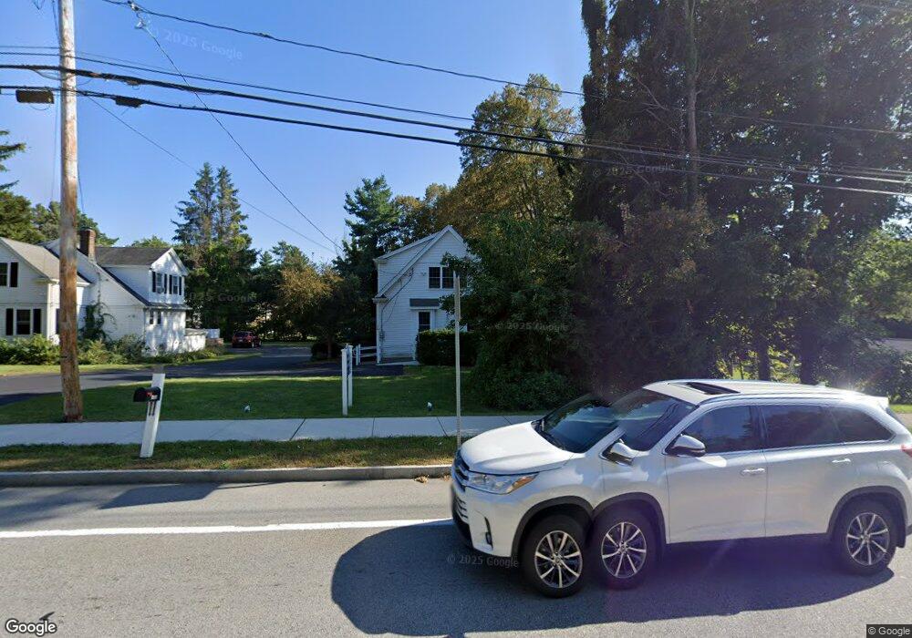
127 Main St Medway, MA 02053
Estimated Value: $465,000 - $491,000
99
Beds
198
Baths
99,999
Sq Ft
$5/Sq Ft
Est. Value
About This Home
This home is located at 127 Main St, Medway, MA 02053 and is currently estimated at $472,074, approximately $4 per square foot. 127 Main St is a home located in Norfolk County with nearby schools including John D. McGovern Elementary School, Burke-Memorial Elementary, and Medway Middle School.
Ownership History
Date
Name
Owned For
Owner Type
Purchase Details
Closed on
May 19, 2009
Sold by
Reardon Ft and Reardon James M
Bought by
Vkg Rt and Auger Gail A
Current Estimated Value
Home Financials for this Owner
Home Financials are based on the most recent Mortgage that was taken out on this home.
Original Mortgage
$156,000
Outstanding Balance
$98,564
Interest Rate
4.85%
Mortgage Type
Purchase Money Mortgage
Estimated Equity
$373,510
Purchase Details
Closed on
May 8, 2006
Sold by
Reardon Edward C
Bought by
Reardon James M and Reardon William F
Home Financials for this Owner
Home Financials are based on the most recent Mortgage that was taken out on this home.
Original Mortgage
$460,000
Interest Rate
6.34%
Mortgage Type
Purchase Money Mortgage
Purchase Details
Closed on
Sep 16, 2003
Sold by
Bemis Harold M and Bemis Leslie J
Bought by
Reardon Edward C
Home Financials for this Owner
Home Financials are based on the most recent Mortgage that was taken out on this home.
Original Mortgage
$267,900
Interest Rate
6.22%
Mortgage Type
Purchase Money Mortgage
Create a Home Valuation Report for This Property
The Home Valuation Report is an in-depth analysis detailing your home's value as well as a comparison with similar homes in the area
Home Values in the Area
Average Home Value in this Area
Purchase History
| Date | Buyer | Sale Price | Title Company |
|---|---|---|---|
| Vkg Rt | $195,000 | -- | |
| Reardon James M | $322,000 | -- | |
| Reardon Edward C | $282,000 | -- |
Source: Public Records
Mortgage History
| Date | Status | Borrower | Loan Amount |
|---|---|---|---|
| Open | Vkg Rt | $156,000 | |
| Previous Owner | Reardon James M | $460,000 | |
| Previous Owner | Reardon Edward C | $267,900 |
Source: Public Records
Tax History Compared to Growth
Tax History
| Year | Tax Paid | Tax Assessment Tax Assessment Total Assessment is a certain percentage of the fair market value that is determined by local assessors to be the total taxable value of land and additions on the property. | Land | Improvement |
|---|---|---|---|---|
| 2025 | $4,956 | $347,800 | $0 | $347,800 |
| 2024 | $5,008 | $347,800 | $0 | $347,800 |
| 2023 | $5,257 | $329,800 | $0 | $329,800 |
| 2022 | $5,027 | $296,900 | $0 | $296,900 |
| 2021 | $4,641 | $265,800 | $0 | $265,800 |
| 2020 | $3,757 | $214,700 | $0 | $214,700 |
| 2019 | $3,643 | $214,700 | $0 | $214,700 |
| 2018 | $3,756 | $212,700 | $0 | $212,700 |
| 2017 | $3,702 | $206,600 | $0 | $206,600 |
| 2016 | $3,742 | $206,600 | $0 | $206,600 |
| 2015 | $3,695 | $202,600 | $0 | $202,600 |
| 2014 | $4,218 | $223,900 | $0 | $223,900 |
Source: Public Records
Map
Nearby Homes
- 22 Sunset Dr
- 14 Heritage Dr
- 176 Main St Unit 3
- 28 Wellington St
- 280 Village St Unit D2
- 4 Shaw St
- 36 Lovering St
- 12 Lovering St
- 3 Meryl St
- 106 Holliston St
- 220 Main St Unit 220
- 5 Fales St
- 50 Main St
- 6 Freedom Trail
- 21 Riverside Rd
- 20 Broad St Unit 6
- 20 Broad St Unit A
- 20 Broad St Unit 4
- 14 Sanford St Unit 15
- 9 Sanford St
- 127 Main St Unit 127
- 127A Main St
- 129 Main St
- 134 Main St
- 2B Elm St Unit 2
- 2 Elm St Unit B
- 2 Elm St Unit A
- 131 Main St Unit 3
- 131 Main St Unit 2
- 132 Main St
- 136 Main St
- 4 Elm St Unit B
- 4 Elm St Unit A
- 27 Evergreen St
- 1A Drybridge Rd
- 3 Drybridge Rd
- 133 Main St
- 5 Drybridge Rd
- 138 Main St
- 1 Drybridge Rd