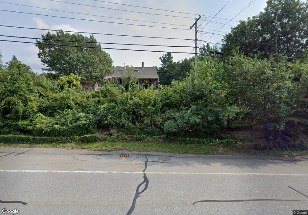
127 Main St Rutland, MA 01543
Estimated Value: $355,000 - $395,000
3
Beds
2
Baths
1,134
Sq Ft
$333/Sq Ft
Est. Value
About This Home
This home is located at 127 Main St, Rutland, MA 01543 and is currently estimated at $377,429, approximately $332 per square foot. 127 Main St is a home located in Worcester County with nearby schools including Wachusett Regional High School.
Ownership History
Date
Name
Owned For
Owner Type
Purchase Details
Closed on
Apr 19, 2021
Sold by
Foreman Franklin A
Bought by
Foreman Franklin A and Falco-Franklin Lisa
Current Estimated Value
Home Financials for this Owner
Home Financials are based on the most recent Mortgage that was taken out on this home.
Original Mortgage
$205,000
Outstanding Balance
$184,286
Interest Rate
3%
Mortgage Type
New Conventional
Estimated Equity
$193,143
Purchase Details
Closed on
Mar 23, 2007
Sold by
Fnma
Bought by
Foreman Franklin A
Home Financials for this Owner
Home Financials are based on the most recent Mortgage that was taken out on this home.
Original Mortgage
$204,000
Interest Rate
6.33%
Mortgage Type
Purchase Money Mortgage
Purchase Details
Closed on
Oct 24, 2006
Sold by
Boylan Steven J and First Horizon Home Loa
Bought by
Federal National Mortgage Association
Purchase Details
Closed on
Oct 28, 2002
Sold by
Jenkins Michael S and Jenkins Jessica S
Bought by
Boylan Steven J
Purchase Details
Closed on
Jul 24, 2000
Sold by
Fnma
Bought by
Jenkins Michael S and Jenkins Jessica S
Purchase Details
Closed on
May 23, 2000
Sold by
Aspero Joseph A and Fnma
Bought by
Federal National Mortgage Association
Purchase Details
Closed on
Dec 30, 1993
Sold by
Bay Loan & Invest Bk
Bought by
Crownshire Trust and Meloche
Purchase Details
Closed on
Jan 8, 1992
Sold by
Dziemian Frank P
Bought by
Bay Loan & Invest Bank
Create a Home Valuation Report for This Property
The Home Valuation Report is an in-depth analysis detailing your home's value as well as a comparison with similar homes in the area
Home Values in the Area
Average Home Value in this Area
Purchase History
| Date | Buyer | Sale Price | Title Company |
|---|---|---|---|
| Foreman Franklin A | -- | None Available | |
| Foreman Franklin A | $204,000 | -- | |
| Foreman Franklin A | $204,000 | -- | |
| Federal National Mortgage Association | $210,631 | -- | |
| Federal National Mortgage Association | $210,631 | -- | |
| Boylan Steven J | $191,580 | -- | |
| Jenkins Michael S | $129,950 | -- | |
| Federal National Mortgage Association | $109,551 | -- | |
| Crownshire Trust | $25,000 | -- | |
| Bay Loan & Invest Bank | $60,000 | -- |
Source: Public Records
Mortgage History
| Date | Status | Borrower | Loan Amount |
|---|---|---|---|
| Open | Foreman Franklin A | $205,000 | |
| Previous Owner | Bay Loan & Invest Bank | $200,000 | |
| Previous Owner | Foreman Franklin A | $204,000 |
Source: Public Records
Tax History Compared to Growth
Tax History
| Year | Tax Paid | Tax Assessment Tax Assessment Total Assessment is a certain percentage of the fair market value that is determined by local assessors to be the total taxable value of land and additions on the property. | Land | Improvement |
|---|---|---|---|---|
| 2025 | $4,057 | $284,900 | $76,200 | $208,700 |
| 2024 | $3,715 | $250,500 | $72,700 | $177,800 |
| 2023 | $3,416 | $249,000 | $68,600 | $180,400 |
| 2022 | $3,396 | $215,100 | $57,900 | $157,200 |
| 2021 | $3,287 | $196,800 | $57,900 | $138,900 |
| 2020 | $3,499 | $175,500 | $54,800 | $120,700 |
| 2019 | $3,459 | $174,000 | $52,200 | $121,800 |
| 2018 | $2,834 | $156,300 | $52,200 | $104,100 |
| 2017 | $2,645 | $144,400 | $52,200 | $92,200 |
| 2016 | $2,461 | $141,700 | $50,400 | $91,300 |
Source: Public Records
Map
Nearby Homes
- 27 Lewis St
- 11 Lewis St
- 21 Lewis St
- 12 Lewis St
- 6 Lewis St
- 25 Watson Ln
- 21 Highland Park Rd
- 10 Beechwood Dr
- 28 Forest Hill Dr
- 85 Maple Ave Unit A
- 32 Pommogussett Rd Unit 1
- 2 Forest Hill Dr
- 7 Prescott St
- 132 Fidelity Dr Unit 61
- 55 Pommogussett Rd
- 10 Fidelity Dr Unit 5
- 10 Soucy Dr
- 16 Richards Ave
- 176 Maple Ave Unit 1-38
- 176 Maple Ave Unit 3-25