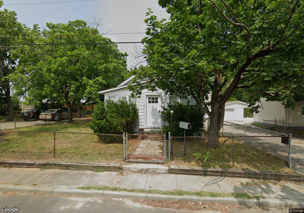
127 Mang Ave Gibbstown, NJ 08027
Greenwich Township NeighborhoodEstimated Value: $177,531 - $260,000
1
Bed
1
Bath
800
Sq Ft
$273/Sq Ft
Est. Value
About This Home
This home is located at 127 Mang Ave, Gibbstown, NJ 08027 and is currently estimated at $218,383, approximately $272 per square foot. 127 Mang Ave is a home located in Gloucester County with nearby schools including Nehaunsey Middle School and Guardian Angels Regional School.
Ownership History
Date
Name
Owned For
Owner Type
Purchase Details
Closed on
Jun 10, 2004
Sold by
Small Edythe and Brown Jean
Bought by
Ag Land Llc
Current Estimated Value
Home Financials for this Owner
Home Financials are based on the most recent Mortgage that was taken out on this home.
Original Mortgage
$105,000
Interest Rate
6.32%
Mortgage Type
Purchase Money Mortgage
Create a Home Valuation Report for This Property
The Home Valuation Report is an in-depth analysis detailing your home's value as well as a comparison with similar homes in the area
Home Values in the Area
Average Home Value in this Area
Purchase History
| Date | Buyer | Sale Price | Title Company |
|---|---|---|---|
| Ag Land Llc | $70,000 | Congress |
Source: Public Records
Mortgage History
| Date | Status | Borrower | Loan Amount |
|---|---|---|---|
| Closed | Ag Land Llc | $105,000 |
Source: Public Records
Tax History Compared to Growth
Tax History
| Year | Tax Paid | Tax Assessment Tax Assessment Total Assessment is a certain percentage of the fair market value that is determined by local assessors to be the total taxable value of land and additions on the property. | Land | Improvement |
|---|---|---|---|---|
| 2025 | $3,725 | $108,200 | $26,200 | $82,000 |
| 2024 | $3,529 | $108,200 | $26,200 | $82,000 |
| 2023 | $3,529 | $108,200 | $26,200 | $82,000 |
| 2022 | $3,532 | $108,200 | $26,200 | $82,000 |
| 2021 | $3,495 | $108,200 | $26,200 | $82,000 |
| 2020 | $3,544 | $108,200 | $26,200 | $82,000 |
| 2019 | $3,546 | $108,200 | $26,200 | $82,000 |
| 2018 | $3,445 | $108,200 | $26,200 | $82,000 |
| 2017 | $3,362 | $108,200 | $26,200 | $82,000 |
| 2016 | $3,325 | $108,200 | $26,200 | $82,000 |
| 2015 | $3,218 | $108,200 | $26,200 | $82,000 |
| 2014 | $3,079 | $108,200 | $26,200 | $82,000 |
Source: Public Records
Map
Nearby Homes
- 1174 Berkley Rd
- 319 Morton Ave
- 0 Lodge Ave
- 330 Croce Ave
- 1529 Swedesboro Ave
- L5 Lodge Ave
- L8 Lodge Ave
- 308 W Broad St
- 8 S Delaware St
- 108 Thomson Ave
- 459 W Broad St
- L18 20 W Broad St
- 333 W Buck St
- 335 W Buck St
- 344 W Washington St
- 123 W Buck St
- 122 W Washington St
- 836 E Broad St
- 129 W Washington St
- 34 W Washington St
- 0 Mang Ave Unit 7057722
- 0 Mang Ave Unit 5567582
- 1261 Mount Vernon Ave
- 1245 Mount Vernon Ave
- 119 Mang Ave
- 1280 Dorothy Ave
- Mang Ave
- 1243 Mount Vernon Ave
- 116 Mang Ave
- 1246 Berkley Rd
- 148 Mang Ave
- 1242 Berkley Rd
- 1237 Mount Vernon Ave
- 1238 Berkley Rd
- 1250 Berkley Rd
- 1264 Berkley Rd
- 1287 Dorothy Ave
- 1236 Mount Vernon Ave
- 1234 Mount Vernon Ave
- 1232 Berkley Rd