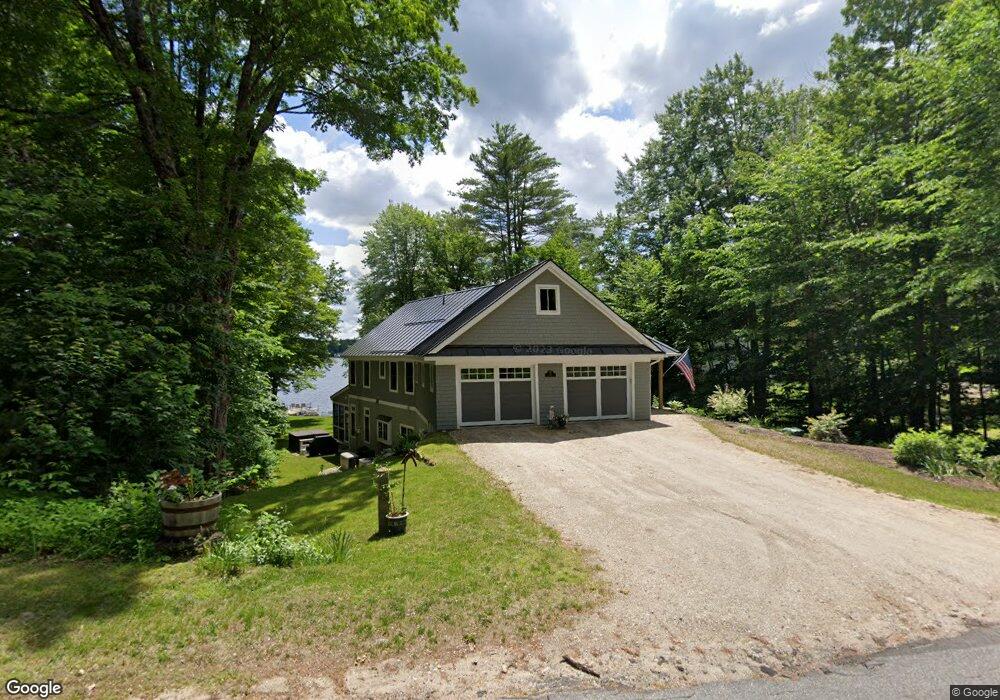
127 Maple St Andover, NH 03216
Estimated Value: $783,000 - $1,179,144
3
Beds
3
Baths
2,892
Sq Ft
$321/Sq Ft
Est. Value
About This Home
This home is located at 127 Maple St, Andover, NH 03216 and is currently estimated at $927,715, approximately $320 per square foot. 127 Maple St is a home with nearby schools including Andover Elementary Middle School and Merrimack Valley High School.
Ownership History
Date
Name
Owned For
Owner Type
Purchase Details
Closed on
Feb 17, 2019
Sold by
Swenson Cheryl F and Swenson Dana E
Bought by
Swenson Ft and Swenson
Current Estimated Value
Create a Home Valuation Report for This Property
The Home Valuation Report is an in-depth analysis detailing your home's value as well as a comparison with similar homes in the area
Home Values in the Area
Average Home Value in this Area
Purchase History
| Date | Buyer | Sale Price | Title Company |
|---|---|---|---|
| Swenson Ft | -- | -- |
Source: Public Records
Tax History
| Year | Tax Paid | Tax Assessment Tax Assessment Total Assessment is a certain percentage of the fair market value that is determined by local assessors to be the total taxable value of land and additions on the property. | Land | Improvement |
|---|---|---|---|---|
| 2025 | $14,738 | $1,006,000 | $448,600 | $557,400 |
| 2024 | $14,728 | $1,006,000 | $448,600 | $557,400 |
| 2023 | $11,420 | $497,600 | $229,100 | $268,500 |
| 2022 | $10,544 | $497,600 | $229,100 | $268,500 |
| 2021 | $10,405 | $497,600 | $229,100 | $268,500 |
| 2020 | $10,619 | $497,600 | $229,100 | $268,500 |
| 2019 | $5,992 | $276,900 | $229,100 | $47,800 |
| 2018 | $6,469 | $267,100 | $227,200 | $39,900 |
| 2017 | $6,106 | $267,100 | $227,200 | $39,900 |
| 2016 | $5,647 | $265,600 | $227,200 | $38,400 |
| 2015 | $5,280 | $265,600 | $227,200 | $38,400 |
| 2014 | $5,413 | $265,600 | $227,200 | $38,400 |
| 2013 | $4,905 | $261,600 | $221,100 | $40,500 |
Source: Public Records
Map
Nearby Homes
- 32 Maple St
- 161 Tucker Mountain Rd
- 0 Putney Rd Unit 433
- 32 Monticello Dr
- 29 Horseshoe Pond Rd
- 419 Flaghole Rd
- 97 Salisbury Hwy
- 174 Lakeshore Dr
- 203 Lakeshore Dr
- 1057 Old Turnpike Rd
- 215 Lake Shore Dr
- 780 Flaghole Rd
- 151 Beech Hill Rd
- 428 North Rd
- 350 North Rd
- 28 Pine Colony Rd
- 53 Lark St
- 40 Lark St
- 97 Webster Ave
- 32 Deckmans Rd
Your Personal Tour Guide
Ask me questions while you tour the home.