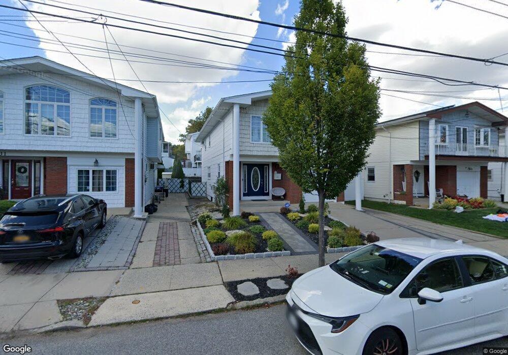
127 Maybury Ave Staten Island, NY 10308
Great Kills NeighborhoodEstimated Value: $897,305 - $981,000
--
Bed
--
Bath
2,100
Sq Ft
$453/Sq Ft
Est. Value
About This Home
This home is located at 127 Maybury Ave, Staten Island, NY 10308 and is currently estimated at $950,826, approximately $452 per square foot. 127 Maybury Ave is a home located in Richmond County with nearby schools including P.S. 53 The Barbara Esselborn School, Myra S. Barnes Intermediate School 24, and New Dorp High School.
Ownership History
Date
Name
Owned For
Owner Type
Purchase Details
Closed on
Aug 26, 2022
Sold by
Leone Michael and Leone Hope
Bought by
Chen Yun and Ye Guang Ju
Current Estimated Value
Home Financials for this Owner
Home Financials are based on the most recent Mortgage that was taken out on this home.
Original Mortgage
$543,000
Outstanding Balance
$521,283
Interest Rate
5.88%
Mortgage Type
New Conventional
Estimated Equity
$429,543
Purchase Details
Closed on
May 1, 1995
Sold by
Tufano Rose
Bought by
Leone Michael and Leone Hope
Create a Home Valuation Report for This Property
The Home Valuation Report is an in-depth analysis detailing your home's value as well as a comparison with similar homes in the area
Home Values in the Area
Average Home Value in this Area
Purchase History
| Date | Buyer | Sale Price | Title Company |
|---|---|---|---|
| Chen Yun | $905,000 | Westcor Land Title | |
| Leone Michael | -- | -- |
Source: Public Records
Mortgage History
| Date | Status | Borrower | Loan Amount |
|---|---|---|---|
| Open | Chen Yun | $543,000 |
Source: Public Records
Tax History Compared to Growth
Tax History
| Year | Tax Paid | Tax Assessment Tax Assessment Total Assessment is a certain percentage of the fair market value that is determined by local assessors to be the total taxable value of land and additions on the property. | Land | Improvement |
|---|---|---|---|---|
| 2025 | $8,260 | $61,260 | $7,734 | $53,526 |
| 2024 | $8,260 | $50,040 | $9,468 | $40,572 |
| 2023 | $8,290 | $40,817 | $8,875 | $31,942 |
| 2022 | $6,770 | $48,000 | $11,520 | $36,480 |
| 2021 | $7,342 | $42,480 | $11,520 | $30,960 |
| 2020 | $6,958 | $41,880 | $11,520 | $30,360 |
| 2019 | $6,877 | $42,720 | $11,520 | $31,200 |
| 2018 | $6,636 | $34,014 | $11,358 | $22,656 |
| 2017 | $6,242 | $32,089 | $10,496 | $21,593 |
| 2016 | $5,742 | $30,273 | $9,785 | $20,488 |
| 2015 | $5,176 | $28,560 | $9,600 | $18,960 |
| 2014 | $5,176 | $28,560 | $9,600 | $18,960 |
Source: Public Records
Map
Nearby Homes
- 163 Keegans Ln
- 109 Greencroft Ave
- 118 Greencroft Ave
- 3601 Hylan Blvd
- 7 Trent St
- 63 Ainsworth Ave
- 57 Redgrave Ave
- 30 Greencroft Ave
- 18 Taunton St
- 51 Yacht Club Cove Unit 51
- 51 Yacht Club Cove St Unit 51
- 45 Fairlawn Loop
- 14 Yacht Club Cove St Unit 14
- 16 Fawn Ln
- 289 Maybury Ave
- 3721 Amboy Rd
- 3723 Amboy Rd
- 220 O'Gorman Ave
- 5 Osprey Ct
- 4 Waterside Pkwy
- 123 Maybury Ave
- 131 Maybury Ave
- 119 Maybury Ave
- 135 Maybury Ave
- 392 Durant Ave
- 388 Durant Ave
- 396 Durant Ave
- 115 Maybury Ave
- 384 Durant Ave
- 380 Durant Ave
- 145 Keegans Ln
- 138 Maybury Ave
- 140 Maybury Ave
- 134 Maybury Ave
- 135 Keegans Ln
- 144 Maybury Ave
- 132 Maybury Ave
- 146 Maybury Ave
- 128 Maybury Ave
- 151 Keegans Ln