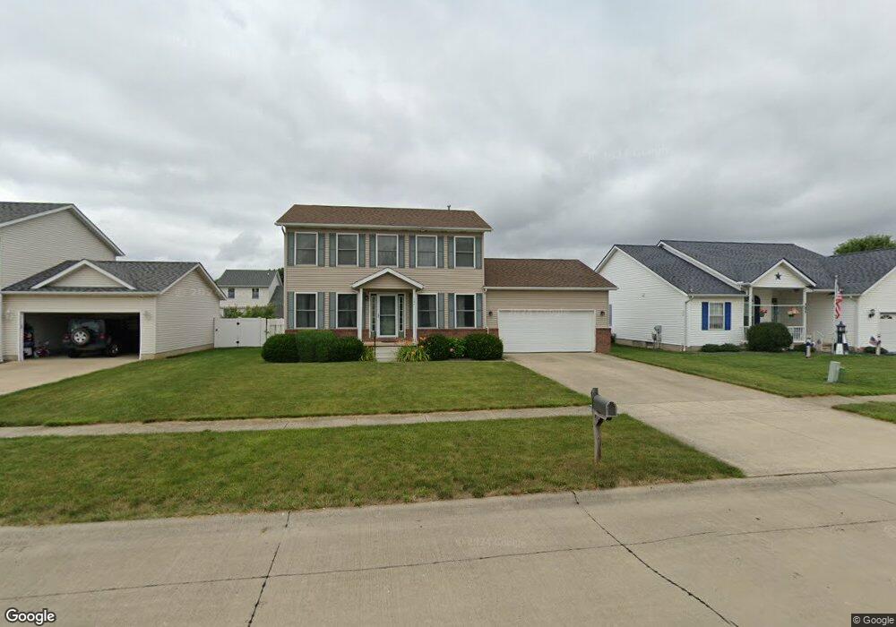
127 Mercury Dr Elyria, OH 44035
Estimated Value: $262,035 - $314,000
3
Beds
3
Baths
1,572
Sq Ft
$184/Sq Ft
Est. Value
About This Home
This home is located at 127 Mercury Dr, Elyria, OH 44035 and is currently estimated at $288,509, approximately $183 per square foot. 127 Mercury Dr is a home located in Lorain County with nearby schools including Westwood Middle School, Elyria High School, and Open Door Christian Schools.
Ownership History
Date
Name
Owned For
Owner Type
Purchase Details
Closed on
Aug 23, 2006
Sold by
Lake Star Construction Co Inc
Bought by
Wall Joshua A and Wall Kirsten K
Current Estimated Value
Home Financials for this Owner
Home Financials are based on the most recent Mortgage that was taken out on this home.
Original Mortgage
$85,000
Interest Rate
6%
Mortgage Type
Purchase Money Mortgage
Create a Home Valuation Report for This Property
The Home Valuation Report is an in-depth analysis detailing your home's value as well as a comparison with similar homes in the area
Home Values in the Area
Average Home Value in this Area
Purchase History
| Date | Buyer | Sale Price | Title Company |
|---|---|---|---|
| Wall Joshua A | $162,000 | First American |
Source: Public Records
Mortgage History
| Date | Status | Borrower | Loan Amount |
|---|---|---|---|
| Closed | Wall Joshua A | $85,000 |
Source: Public Records
Tax History
| Year | Tax Paid | Tax Assessment Tax Assessment Total Assessment is a certain percentage of the fair market value that is determined by local assessors to be the total taxable value of land and additions on the property. | Land | Improvement |
|---|---|---|---|---|
| 2024 | $3,948 | $81,382 | $16,975 | $64,407 |
| 2023 | $3,606 | $64,554 | $14,333 | $50,222 |
| 2022 | $3,594 | $64,554 | $14,333 | $50,222 |
| 2021 | $3,602 | $64,554 | $14,333 | $50,222 |
| 2020 | $3,461 | $55,170 | $12,250 | $42,920 |
| 2019 | $3,440 | $55,170 | $12,250 | $42,920 |
| 2018 | $3,302 | $55,170 | $12,250 | $42,920 |
| 2017 | $3,157 | $48,440 | $11,030 | $37,410 |
| 2016 | $3,115 | $48,440 | $11,030 | $37,410 |
| 2015 | $2,925 | $48,440 | $11,030 | $37,410 |
| 2014 | $2,888 | $48,440 | $11,030 | $37,410 |
| 2013 | $2,863 | $48,440 | $11,030 | $37,410 |
Source: Public Records
Map
Nearby Homes
- lot 31 Skyline Dr
- 307 Skyline Dr
- Land Skyline Dr
- lot 25 Apollo Dr
- 36 Sunset Ct
- 39 Sunset Ct
- 32 Skyline Dr
- 26 Apollo Dr
- 9373 Murray Ridge Rd
- 268 Twin Lake Dr
- 153 Hickory Cir
- 320 Ashwood Dr
- 238 Hickory Cir
- 308 Ashwood Dr
- 102 Twin Lake Dr
- 132 Twin Lake Dr
- 235 Chaucer Ct
- 119 Island Dr
- 275 Ashwood Dr
- 124 Birchbark Dr
Your Personal Tour Guide
Ask me questions while you tour the home.