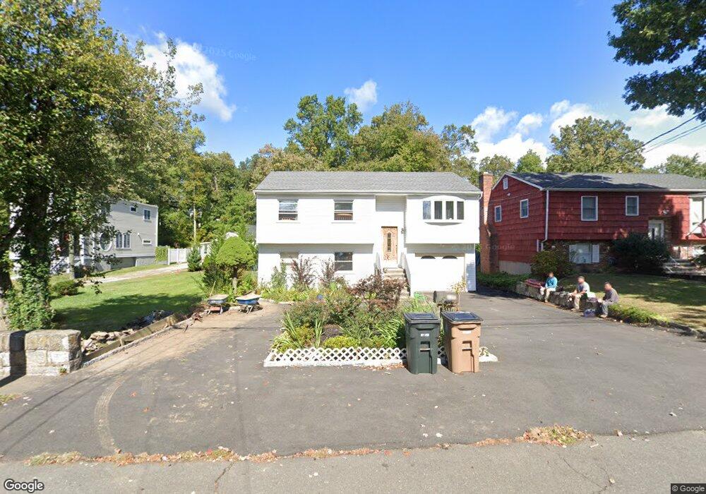
127 Mulberry St Stamford, CT 06907
Springdale NeighborhoodEstimated Value: $712,000 - $864,000
3
Beds
3
Baths
2,270
Sq Ft
$355/Sq Ft
Est. Value
About This Home
This home is located at 127 Mulberry St, Stamford, CT 06907 and is currently estimated at $806,237, approximately $355 per square foot. 127 Mulberry St is a home located in Fairfield County with nearby schools including Springdale Elementary School, Dolan School, and Stamford High School.
Ownership History
Date
Name
Owned For
Owner Type
Purchase Details
Closed on
Oct 12, 2018
Sold by
Giamba Raffaela
Bought by
Raffaela Giamba Ret and Giamba
Current Estimated Value
Purchase Details
Closed on
Apr 12, 1985
Bought by
Giamba Auraelio
Create a Home Valuation Report for This Property
The Home Valuation Report is an in-depth analysis detailing your home's value as well as a comparison with similar homes in the area
Home Values in the Area
Average Home Value in this Area
Purchase History
| Date | Buyer | Sale Price | Title Company |
|---|---|---|---|
| Raffaela Giamba Ret | -- | -- | |
| Raffaela Giamba Ret | -- | -- | |
| Giamba Auraelio | -- | -- |
Source: Public Records
Mortgage History
| Date | Status | Borrower | Loan Amount |
|---|---|---|---|
| Previous Owner | Giamba Auraelio | $55,000 |
Source: Public Records
Tax History Compared to Growth
Tax History
| Year | Tax Paid | Tax Assessment Tax Assessment Total Assessment is a certain percentage of the fair market value that is determined by local assessors to be the total taxable value of land and additions on the property. | Land | Improvement |
|---|---|---|---|---|
| 2025 | $10,194 | $430,840 | $255,410 | $175,430 |
| 2024 | $9,970 | $430,840 | $255,410 | $175,430 |
| 2023 | $10,711 | $430,840 | $255,410 | $175,430 |
| 2022 | $8,810 | $329,470 | $192,220 | $137,250 |
| 2021 | $8,714 | $329,470 | $192,220 | $137,250 |
| 2020 | $8,490 | $329,470 | $192,220 | $137,250 |
| 2019 | $8,490 | $329,470 | $192,220 | $137,250 |
| 2018 | $8,177 | $329,470 | $192,220 | $137,250 |
| 2017 | $7,970 | $306,540 | $178,010 | $128,530 |
| 2016 | $7,746 | $306,540 | $178,010 | $128,530 |
| 2015 | $7,544 | $306,540 | $178,010 | $128,530 |
| 2014 | $7,293 | $306,540 | $178,010 | $128,530 |
Source: Public Records
Map
Nearby Homes
- 44 Brundage St
- 83 Mulberry St
- 393 Upper Haig Ave
- 5 Nyselius Place
- 1148 Hope St
- 1157 Hope St
- 970 Hope St Unit 4J
- 23 Oenoke Place
- 17 Oenoke Place
- 31 Gray Farms Rd
- 16 Columbus Place
- 900 Hope St Unit 8C
- 910 Hope St Unit 5B
- 19 Woodway Rd Unit 14
- 95 Columbus Place Unit 6
- 825 Hope St Unit 4
- 77 Putter Dr
- 78 Elizabeth Ave
- 172 Joffre Ave
- 22 Hastings Ln
- 125 Mulberry St
- 135 Mulberry St
- 139 Mulberry St
- 119 Mulberry St
- 115 Mulberry St
- 141 Mulberry St
- 124 Mulberry St
- 143 Mulberry St
- 111 Mulberry St
- 145 Mulberry St
- 128 Mulberry St
- 123 Knox Rd
- 130 Mulberry St
- 34 Estwick Place
- 107 Mulberry St
- 134 Mulberry St
- 120 Mulberry St
- 149 Mulberry St
- 150 Mulberry St
- 136 Mulberry St