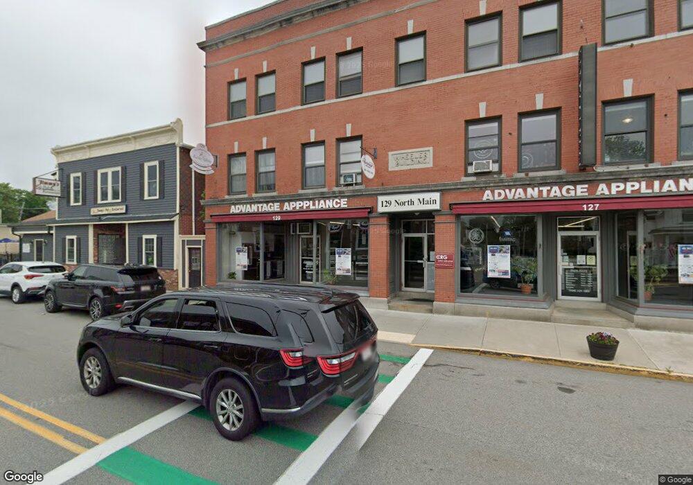
127 N Main St Unit 305 Mansfield, MA 02048
Estimated Value: $1,416,996
--
Bed
--
Bath
300
Sq Ft
$4,723/Sq Ft
Est. Value
About This Home
This home is located at 127 N Main St Unit 305, Mansfield, MA 02048 and is currently estimated at $1,416,996, approximately $4,723 per square foot. 127 N Main St Unit 305 is a home located in Bristol County with nearby schools including Everett W. Robinson Elementary School, Jordan/Jackson Elementary School, and Harold L. Qualters Middle School.
Ownership History
Date
Name
Owned For
Owner Type
Purchase Details
Closed on
Nov 1, 2000
Sold by
Schofield Hardware Co
Bought by
Grove Bldg Rt and Lazara
Current Estimated Value
Home Financials for this Owner
Home Financials are based on the most recent Mortgage that was taken out on this home.
Original Mortgage
$448,000
Interest Rate
7.83%
Mortgage Type
Commercial
Create a Home Valuation Report for This Property
The Home Valuation Report is an in-depth analysis detailing your home's value as well as a comparison with similar homes in the area
Home Values in the Area
Average Home Value in this Area
Purchase History
| Date | Buyer | Sale Price | Title Company |
|---|---|---|---|
| Grove Bldg Rt | $560,000 | -- |
Source: Public Records
Mortgage History
| Date | Status | Borrower | Loan Amount |
|---|---|---|---|
| Open | Grove Bldg Rt | $412,500 | |
| Closed | Grove Bldg Rt | $448,000 | |
| Previous Owner | Grove Bldg Rt | $180,000 |
Source: Public Records
Tax History Compared to Growth
Tax History
| Year | Tax Paid | Tax Assessment Tax Assessment Total Assessment is a certain percentage of the fair market value that is determined by local assessors to be the total taxable value of land and additions on the property. | Land | Improvement |
|---|---|---|---|---|
| 2025 | $21,820 | $1,088,300 | $232,100 | $856,200 |
| 2024 | $20,758 | $1,088,500 | $232,100 | $856,400 |
| 2023 | $20,159 | $1,088,500 | $232,100 | $856,400 |
| 2022 | $16,006 | $847,800 | $232,100 | $615,700 |
| 2021 | $16,212 | $718,000 | $189,400 | $528,600 |
| 2020 | $15,509 | $718,000 | $189,400 | $528,600 |
| 2019 | $14,523 | $710,500 | $189,400 | $521,100 |
| 2018 | $14,762 | $710,500 | $189,400 | $521,100 |
| 2017 | $14,267 | $710,500 | $189,400 | $521,100 |
| 2016 | $13,276 | $645,100 | $189,400 | $455,700 |
| 2015 | $12,736 | $613,800 | $158,100 | $455,700 |
Source: Public Records
Map
Nearby Homes
- 28 Court St
- 28 Court St Unit 4
- 241-243 N Main St
- 38 Court St
- 76 Samoset Ave
- 72 Court St Unit B
- 150 Rumford Ave Unit 222
- 22 Pleasant St Unit B
- 22 Pleasant St Unit A
- 16 East St Unit 2
- 99 Pleasant St
- 21 East St Unit 1D
- 82 Brook St
- 34 Warren Ave
- 12 Wilson Place
- 14 School St
- 60 King St
- 450 West St
- 356 Central St
- 130 Morse St
- 129 N Main St
- 127 N Main St
- 127-129 N Main St Unit 305
- 127-129 N Main St Unit 306
- 121 N Main St Unit 12
- 121 N Main St Unit 123
- 121 N Main St Unit 33- ROOM
- 121 N Main St Unit 31
- 121 N Main St Unit 17
- 121 N Main St Unit 21
- 121 N Main St Unit 23
- 121 N Main St Unit 18
- 121-123 N Main St
- 121-123 N Main St Unit 33
- 121-123 N Main St Unit 21
- 121-123 N Main St Unit 22
- 121-123 N Main St Unit 12
- 115 N Main St Unit 2
- 124 N Main St Unit B
- 124 N Main St Unit A