127 Old Colony Ave Somerset, MA 02726
Somerset Historic Village NeighborhoodEstimated Value: $341,000 - $447,131
4
Beds
2
Baths
1,285
Sq Ft
$318/Sq Ft
Est. Value
About This Home
This home is located at 127 Old Colony Ave, Somerset, MA 02726 and is currently estimated at $408,283, approximately $317 per square foot. 127 Old Colony Ave is a home located in Bristol County with nearby schools including North Elementary School and Somerset Middle School.
Ownership History
Date
Name
Owned For
Owner Type
Purchase Details
Closed on
Dec 1, 2020
Sold by
Vincent Hazel W
Bought by
Liakos Nicholas and Liakos Constantina
Current Estimated Value
Home Financials for this Owner
Home Financials are based on the most recent Mortgage that was taken out on this home.
Original Mortgage
$150,000
Outstanding Balance
$137,959
Interest Rate
4.75%
Mortgage Type
New Conventional
Estimated Equity
$270,324
Create a Home Valuation Report for This Property
The Home Valuation Report is an in-depth analysis detailing your home's value as well as a comparison with similar homes in the area
Home Values in the Area
Average Home Value in this Area
Purchase History
| Date | Buyer | Sale Price | Title Company |
|---|---|---|---|
| Liakos Nicholas | $200,000 | None Available | |
| Liakos Nicholas | $200,000 | None Available |
Source: Public Records
Mortgage History
| Date | Status | Borrower | Loan Amount |
|---|---|---|---|
| Open | Liakos Nicholas | $150,000 | |
| Closed | Liakos Nicholas | $150,000 |
Source: Public Records
Tax History Compared to Growth
Tax History
| Year | Tax Paid | Tax Assessment Tax Assessment Total Assessment is a certain percentage of the fair market value that is determined by local assessors to be the total taxable value of land and additions on the property. | Land | Improvement |
|---|---|---|---|---|
| 2025 | $5,101 | $383,500 | $185,400 | $198,100 |
| 2024 | $4,808 | $375,900 | $185,400 | $190,500 |
| 2023 | $4,210 | $332,000 | $161,200 | $170,800 |
| 2022 | $3,887 | $292,500 | $139,800 | $152,700 |
| 2021 | $3,920 | $267,000 | $126,800 | $140,200 |
| 2020 | $3,808 | $250,200 | $127,800 | $122,400 |
| 2019 | $4,358 | $238,800 | $127,800 | $111,000 |
| 2018 | $871 | $228,000 | $125,400 | $102,600 |
| 2017 | $3,778 | $217,100 | $119,600 | $97,500 |
| 2016 | $3,801 | $217,100 | $119,600 | $97,500 |
| 2015 | $3,558 | $205,100 | $114,200 | $90,900 |
| 2014 | $4,745 | $196,500 | $110,900 | $85,600 |
Source: Public Records
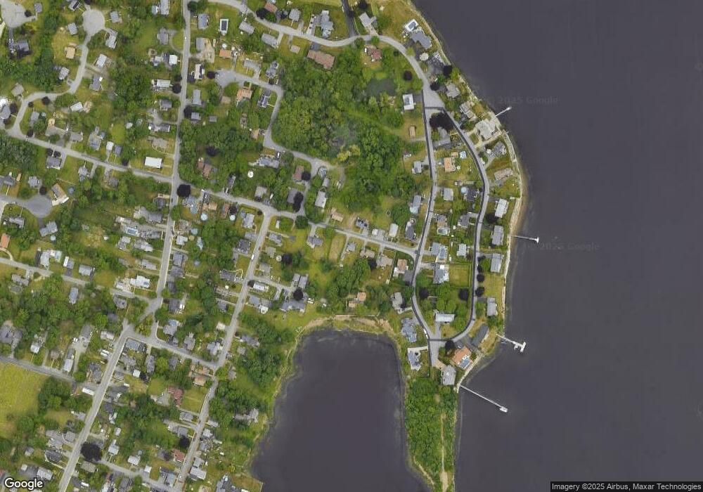
Map
Nearby Homes
- 562 Main St
- 0 Palmer St
- 239 Maple St
- 165 Yankee Peddler Dr
- 22 Riverside Dr
- 2546 County St
- 4700 N Main St Unit 3E
- 138 Bourn Ave
- 5455 N Main St Unit 17A
- 5455 N Main St Unit 13A
- 5455 N Main St Unit 14B
- 3076 County St
- 190 Gibbs St
- 259 Lynch Ave
- 32 Ridge St
- 112 Rounseville Ave
- 107 Manchester Ave
- 31 Ridge St
- 64 Denham Ave
- 601 Eastview Ave
- 113 Old Colony Ave
- 145 Old Colony Ave
- 124 Old Colony Ave
- 93 Old Colony Ave
- 142 Old Colony Ave
- 42 Simms Ave
- 2 Simms Ave
- 18 Seacrest St
- 94 Old Colony Ave
- 157 Pilot Dr
- 45 Simms Ave
- 710 Main St
- 135 Pilot Dr
- 11 Seacrest St
- 732 Main St
- 720 Main St
- 218-220 Old Colony Ave Unit 202
- 218-220 Old Colony Ave
- 218-220 Old Colony Ave
- 688 Main St