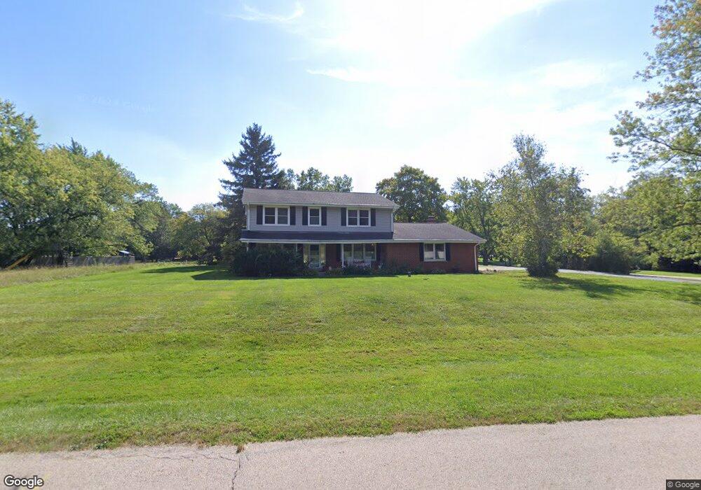
127 Palm Dr Barrington, IL 60010
South Barrington NeighborhoodEstimated Value: $627,000 - $784,000
5
Beds
3
Baths
2,602
Sq Ft
$271/Sq Ft
Est. Value
About This Home
This home is located at 127 Palm Dr, Barrington, IL 60010 and is currently estimated at $705,509, approximately $271 per square foot. 127 Palm Dr is a home located in Cook County with nearby schools including Arnett C. Lines Elementary School, Barrington Mdle School- Prairie Cmps, and Barrington High School.
Ownership History
Date
Name
Owned For
Owner Type
Purchase Details
Closed on
Apr 26, 2007
Sold by
Jacobs Robert J and Jacobs Lora A
Bought by
Jacobs Lora A Viers and Jacobs Robert J
Current Estimated Value
Purchase Details
Closed on
Jan 16, 2002
Sold by
Slager Thomas S and Slager Douglas J
Bought by
Olson Thomas R and Olson Lori A
Purchase Details
Closed on
Nov 27, 1995
Sold by
Slager Virginia B
Bought by
Virginia B Slager Revocable Living Trust
Create a Home Valuation Report for This Property
The Home Valuation Report is an in-depth analysis detailing your home's value as well as a comparison with similar homes in the area
Home Values in the Area
Average Home Value in this Area
Purchase History
| Date | Buyer | Sale Price | Title Company |
|---|---|---|---|
| Jacobs Lora A Viers | -- | None Available | |
| Olson Thomas R | $347,500 | -- | |
| Virginia B Slager Revocable Living Trust | -- | -- |
Source: Public Records
Tax History Compared to Growth
Tax History
| Year | Tax Paid | Tax Assessment Tax Assessment Total Assessment is a certain percentage of the fair market value that is determined by local assessors to be the total taxable value of land and additions on the property. | Land | Improvement |
|---|---|---|---|---|
| 2024 | $8,082 | $42,598 | $12,493 | $30,105 |
| 2023 | $7,840 | $42,598 | $12,493 | $30,105 |
| 2022 | $7,840 | $42,598 | $12,493 | $30,105 |
| 2021 | $8,046 | $38,930 | $8,328 | $30,602 |
| 2020 | $7,823 | $38,930 | $8,328 | $30,602 |
| 2019 | $7,601 | $42,970 | $8,328 | $34,642 |
| 2018 | $8,156 | $44,496 | $7,287 | $37,209 |
| 2017 | $7,931 | $44,496 | $7,287 | $37,209 |
| 2016 | $7,991 | $46,468 | $7,287 | $39,181 |
| 2015 | $7,418 | $40,500 | $7,287 | $33,213 |
| 2014 | $7,346 | $40,500 | $7,287 | $33,213 |
| 2013 | $7,018 | $40,500 | $7,287 | $33,213 |
Source: Public Records
Map
Nearby Homes
- 21 Ferndale Rd
- 44 Oak Ridge Ln
- 20358 N Wallingford Ln
- 23036 W Long Grove Rd
- 104 Lois Ln
- 20633 N Primrose Ct
- 110 Tudor Dr
- 152 S Ela Rd
- 523 N Ela Rd
- 1337 N Portage Ave
- 28 Portage Ave
- 30 N Portage Ave
- 1273 W Dundee Rd
- 29 Portage Ave
- 1223 W Dundee Rd
- 1414 N Sterling Ave Unit 202
- 1414 N Sterling Ave Unit 103
- 1412 N Sterling Ave Unit 102
- 1412 N Sterling Ave Unit 203
- 1208 N Doe Rd