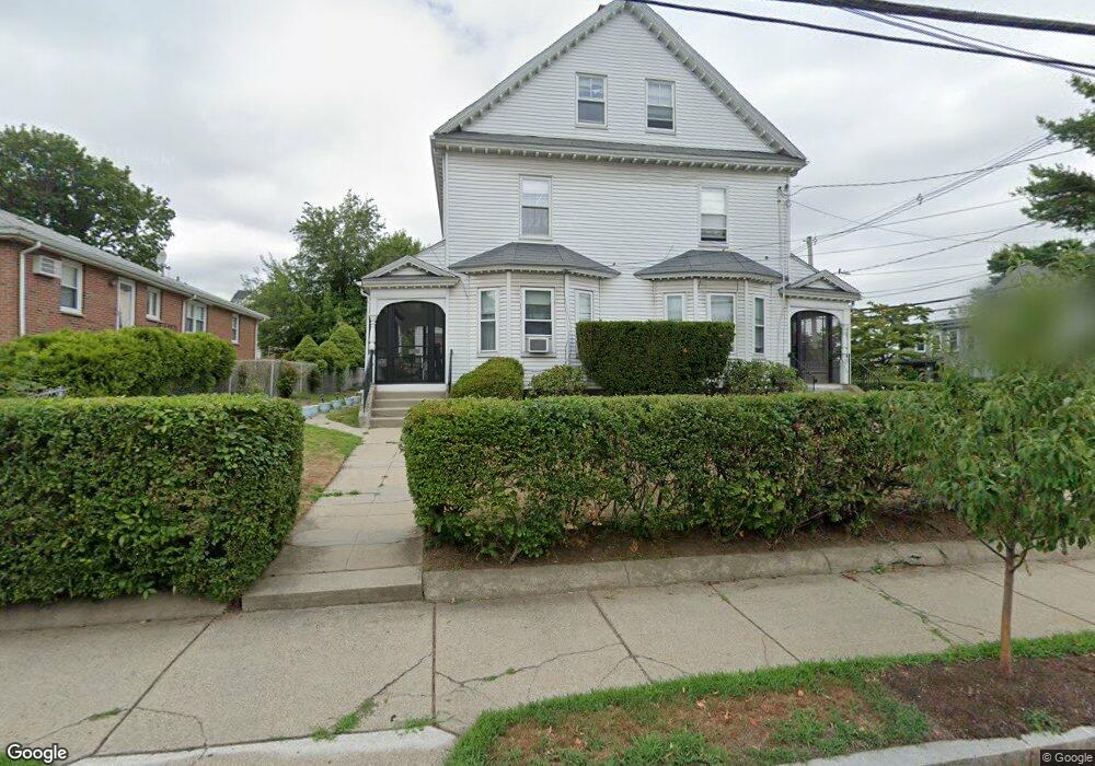
127 Pearl St Unit 129 Newton, MA 02458
Nonantum NeighborhoodEstimated Value: $1,139,000 - $1,338,000
5
Beds
2
Baths
2,852
Sq Ft
$432/Sq Ft
Est. Value
About This Home
This home is located at 127 Pearl St Unit 129, Newton, MA 02458 and is currently estimated at $1,232,867, approximately $432 per square foot. 127 Pearl St Unit 129 is a home located in Middlesex County with nearby schools including Lincoln-Eliot Elementary School, Bigelow Middle School, and Newton North High School.
Ownership History
Date
Name
Owned For
Owner Type
Purchase Details
Closed on
Mar 10, 2017
Sold by
Ann K Frazier Ret
Bought by
Ann K Frazier Ret
Current Estimated Value
Purchase Details
Closed on
Feb 3, 1999
Sold by
Frazier Dorothy and Frazier Ann K
Bought by
Frazier Ann K
Home Financials for this Owner
Home Financials are based on the most recent Mortgage that was taken out on this home.
Original Mortgage
$168,000
Interest Rate
6.74%
Mortgage Type
Purchase Money Mortgage
Create a Home Valuation Report for This Property
The Home Valuation Report is an in-depth analysis detailing your home's value as well as a comparison with similar homes in the area
Home Values in the Area
Average Home Value in this Area
Purchase History
| Date | Buyer | Sale Price | Title Company |
|---|---|---|---|
| Ann K Frazier Ret | -- | -- | |
| Frazier Ann K | $210,000 | -- |
Source: Public Records
Mortgage History
| Date | Status | Borrower | Loan Amount |
|---|---|---|---|
| Previous Owner | Frazier Ann K | $25,000 | |
| Previous Owner | Frazier Ann K | $168,000 |
Source: Public Records
Tax History Compared to Growth
Tax History
| Year | Tax Paid | Tax Assessment Tax Assessment Total Assessment is a certain percentage of the fair market value that is determined by local assessors to be the total taxable value of land and additions on the property. | Land | Improvement |
|---|---|---|---|---|
| 2025 | $8,912 | $909,400 | $594,700 | $314,700 |
| 2024 | $8,617 | $882,900 | $577,400 | $305,500 |
| 2023 | $8,147 | $800,300 | $458,700 | $341,600 |
| 2022 | $7,795 | $741,000 | $424,700 | $316,300 |
| 2021 | $7,315 | $679,800 | $389,600 | $290,200 |
| 2020 | $7,097 | $679,800 | $389,600 | $290,200 |
| 2019 | $6,639 | $635,300 | $364,100 | $271,200 |
| 2018 | $6,626 | $612,400 | $340,800 | $271,600 |
| 2017 | $6,247 | $561,800 | $312,700 | $249,100 |
| 2016 | $5,865 | $515,400 | $286,900 | $228,500 |
| 2015 | $5,593 | $481,700 | $268,100 | $213,600 |
Source: Public Records
Map
Nearby Homes
- 15-17 Jewett Place Unit 2
- 90 Waban Park Unit 2
- 77 Pond Ave Unit 1103
- 1 Channing St
- 34 Channing St Unit 1
- 34 Channing St Unit 2
- 30 Boyd St Unit 30
- 141 Morse St
- 12-14 Middle St
- 164 Galen St Unit 88
- 164 Galen St Unit 65
- 12 Richardson St Unit 14
- 105 Watertown St
- 66 Aldrich Rd Unit B
- 324 Adams St Unit 2
- 30 Middle St
- 10 Williams St Unit 39
- 10 Williams St Unit 56
- 86 West St
- 64 California St Unit 64
- 133 Pearl St Unit 135
- 67 Jewett St
- 67 Jewett St Unit 67
- 67 Jewett St Unit 2
- 72 Jewett St Unit 72B
- 72 Jewett St Unit B
- 72 Jewett St Unit 2
- 44 Gardner St
- 81 Jewett St Unit A
- 81 Jewett St Unit B
- 63 Jewett St Unit Left Side
- 63 Jewett St Unit 63
- 68 Jewett St Unit 72
- 68 Jewett St Unit 72
- 68 Jewett St Unit 72
- 68 Jewett St Unit 68
- 79 Jewett St
- 42 Gardner St
- 61-63 Jewett St
- 50 Gardner St