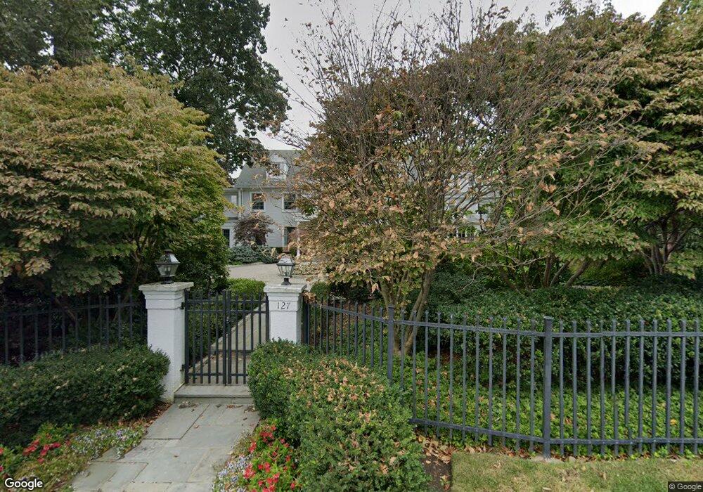
127 Pershing Rd Englewood Cliffs, NJ 07632
Estimated Value: $3,500,217 - $3,675,000
--
Bed
--
Bath
7,027
Sq Ft
$514/Sq Ft
Est. Value
About This Home
This home is located at 127 Pershing Rd, Englewood Cliffs, NJ 07632 and is currently estimated at $3,611,739, approximately $513 per square foot. 127 Pershing Rd is a home located in Bergen County with nearby schools including North Cliff Elementary School, Upper School Elementary School, and Dwight-Englewood School.
Ownership History
Date
Name
Owned For
Owner Type
Purchase Details
Closed on
Jan 2, 2012
Bought by
Agresta Darel C
Current Estimated Value
Create a Home Valuation Report for This Property
The Home Valuation Report is an in-depth analysis detailing your home's value as well as a comparison with similar homes in the area
Home Values in the Area
Average Home Value in this Area
Purchase History
| Date | Buyer | Sale Price | Title Company |
|---|---|---|---|
| Agresta Darel C | -- | -- |
Source: Public Records
Tax History Compared to Growth
Tax History
| Year | Tax Paid | Tax Assessment Tax Assessment Total Assessment is a certain percentage of the fair market value that is determined by local assessors to be the total taxable value of land and additions on the property. | Land | Improvement |
|---|---|---|---|---|
| 2025 | $35,762 | $3,096,300 | $1,657,600 | $1,438,700 |
| 2024 | $35,329 | $3,096,300 | $1,657,600 | $1,438,700 |
| 2023 | $34,771 | $3,096,300 | $1,657,600 | $1,438,700 |
| 2022 | $34,771 | $3,096,300 | $1,657,600 | $1,438,700 |
| 2021 | $26,729 | $3,096,300 | $1,657,600 | $1,438,700 |
| 2020 | $35,638 | $3,096,300 | $1,657,600 | $1,438,700 |
| 2019 | $33,471 | $3,096,300 | $1,657,600 | $1,438,700 |
| 2018 | $32,294 | $3,096,300 | $1,657,600 | $1,438,700 |
| 2017 | $30,901 | $3,096,300 | $1,657,600 | $1,438,700 |
| 2016 | $30,313 | $3,096,300 | $1,657,600 | $1,438,700 |
| 2015 | $28,796 | $3,096,300 | $1,657,600 | $1,438,700 |
| 2014 | $26,938 | $3,096,300 | $1,657,600 | $1,438,700 |
Source: Public Records
Map
Nearby Homes
- 148 Demarest Ave
- 30 Reiner Place
- 577 Floyd St
- 2 Maple St
- 45 Marjorie Terrace
- 645 Summit St
- 48 Cambridge Place
- 519 E Palisade Ave
- 244 Fairview Ave
- 231 N Woodland St
- 12 Kira Ln
- 48 S Woodland St
- 14 Allison Dr
- 2 Connor Dr
- 379 Mauro Rd
- 277 Walnut St
- 14 Roberts Rd
- 294 Oakwood Rd
- 320 Mountain Rd
- 298 Booth Ave
- 595 Summit St
- 117 Pershing Rd
- 120 Chestnut St
- 575 Summit St
- 116 Chestnut St
- 120 Pershing Rd
- 113 Pershing Rd
- 594 Summit St
- 116 Pershing Rd
- 147 Pershing Rd
- 121 Chestnut St
- 127 Chestnut St
- 560 Summit St
- 108 Chestnut St
- 108 Chestnut St
- 115 Chestnut St
- 107 Pershing Rd
- 114 Pershing Rd
- 146 Chestnut St
- 129 Demarest Ave