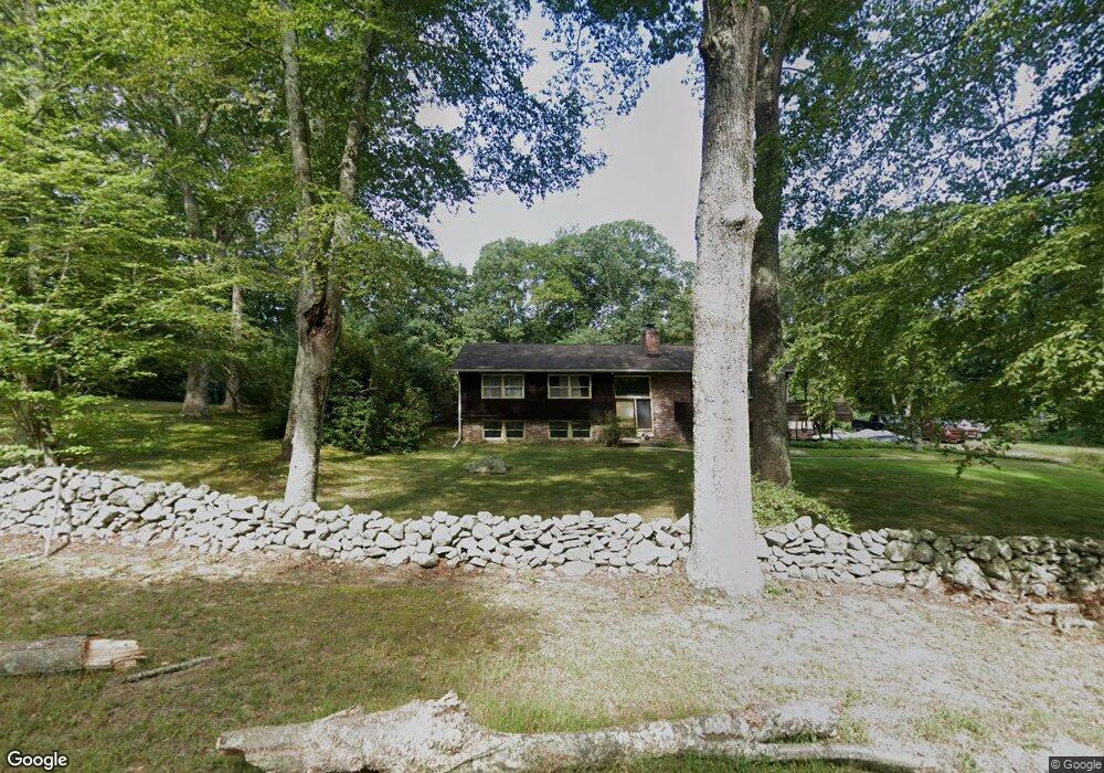
127 Pettipaug Rd Westbrook, CT 06498
Estimated Value: $519,000 - $546,000
3
Beds
2
Baths
1,748
Sq Ft
$304/Sq Ft
Est. Value
About This Home
This home is located at 127 Pettipaug Rd, Westbrook, CT 06498 and is currently estimated at $531,621, approximately $304 per square foot. 127 Pettipaug Rd is a home located in Middlesex County with nearby schools including Daisy Ingraham School, Westbrook Middle School, and Westbrook High School.
Ownership History
Date
Name
Owned For
Owner Type
Purchase Details
Closed on
Jan 2, 2002
Sold by
Chandler Josephine Est and Bean
Bought by
Chandler Stephen and Chandler Josephine
Current Estimated Value
Home Financials for this Owner
Home Financials are based on the most recent Mortgage that was taken out on this home.
Original Mortgage
$138,750
Interest Rate
10.99%
Mortgage Type
Purchase Money Mortgage
Create a Home Valuation Report for This Property
The Home Valuation Report is an in-depth analysis detailing your home's value as well as a comparison with similar homes in the area
Home Values in the Area
Average Home Value in this Area
Purchase History
| Date | Buyer | Sale Price | Title Company |
|---|---|---|---|
| Chandler Stephen | $179,000 | -- |
Source: Public Records
Mortgage History
| Date | Status | Borrower | Loan Amount |
|---|---|---|---|
| Open | Chandler Stephen | $67,100 | |
| Open | Chandler Stephen | $213,376 | |
| Closed | Chandler Stephen | $193,000 | |
| Closed | Chandler Stephen | $138,750 |
Source: Public Records
Tax History Compared to Growth
Tax History
| Year | Tax Paid | Tax Assessment Tax Assessment Total Assessment is a certain percentage of the fair market value that is determined by local assessors to be the total taxable value of land and additions on the property. | Land | Improvement |
|---|---|---|---|---|
| 2025 | $5,930 | $263,560 | $108,860 | $154,700 |
| 2024 | $5,719 | $263,560 | $108,860 | $154,700 |
| 2023 | $5,619 | $263,560 | $108,860 | $154,700 |
| 2022 | $5,472 | $263,560 | $108,860 | $154,700 |
| 2021 | $5,424 | $216,940 | $68,040 | $148,900 |
| 2020 | $5,424 | $216,940 | $68,040 | $148,900 |
| 2019 | $5,352 | $216,940 | $68,040 | $148,900 |
| 2018 | $5,287 | $216,940 | $68,040 | $148,900 |
| 2017 | $5,287 | $216,940 | $68,040 | $148,900 |
| 2016 | $4,594 | $198,540 | $60,480 | $138,060 |
| 2015 | $4,469 | $198,540 | $60,480 | $138,060 |
| 2014 | $4,326 | $198,540 | $60,480 | $138,060 |
Source: Public Records
Map
Nearby Homes
- 54 Lakeview Terrace
- 5 Fox Hollow Rd
- 199 Toby Hill Rd
- 1 Lake Louise Dr
- 2 Lake Louise Dr
- 11 Orchard Path Unit 11
- 11 Timberlane Dr
- 11 Pond Circle Rd
- 87 McVeagh Rd
- 14 Halls Rd
- 155 Fawn Hill Dr
- 1286 Boston Post Rd
- 1280 Boston Post Rd
- 41 Trolley Rd
- 29 Salt Island Rd
- 1469 Boston Post Rd Unit 19
- 41 S Main St
- 1110 Old Clinton Rd
- 13 Green Acres Park Dr
- 17 Woodsedge Ln
- 936 Essex Rd
- 157 Pettipaug Rd
- 946 Essex Rd
- 67 Pettipaug Rd
- 183 Pettipaug Rd
- 915 Essex Rd
- 845 Essex Rd
- 195 Pettipaug Rd
- 986 Essex Rd Unit 1-3
- 986 Essex Rd
- 986 Essex Rd Unit 3/4
- 986 Essex Rd Unit 2-3
- 986 Essex Rd Unit 1
- 821 Essex Rd
- Lot 0 Essex Rd
- 959 Essex Rd
- 802 Essex Rd
- 207 Pettipaug Rd
- 815 Essex Rd
- 46 Pettipaug Rd