127 Pinto Ln Bailey, CO 80421
Estimated Value: $417,191 - $569,000
2
Beds
1
Bath
1,432
Sq Ft
$364/Sq Ft
Est. Value
About This Home
This home is located at 127 Pinto Ln, Bailey, CO 80421 and is currently estimated at $521,298, approximately $364 per square foot. 127 Pinto Ln is a home located in Park County with nearby schools including Deer Creek Elementary School, Fitzsimmons Middle School, and Platte Canyon High School.
Ownership History
Date
Name
Owned For
Owner Type
Purchase Details
Closed on
Dec 11, 2019
Sold by
Kent Bruce K
Bought by
Shawlin James C
Current Estimated Value
Home Financials for this Owner
Home Financials are based on the most recent Mortgage that was taken out on this home.
Original Mortgage
$304,200
Outstanding Balance
$266,423
Interest Rate
3.7%
Mortgage Type
New Conventional
Estimated Equity
$254,875
Create a Home Valuation Report for This Property
The Home Valuation Report is an in-depth analysis detailing your home's value as well as a comparison with similar homes in the area
Home Values in the Area
Average Home Value in this Area
Purchase History
| Date | Buyer | Sale Price | Title Company |
|---|---|---|---|
| Shawlin James C | $338,000 | Capital Title |
Source: Public Records
Mortgage History
| Date | Status | Borrower | Loan Amount |
|---|---|---|---|
| Open | Shawlin James C | $304,200 |
Source: Public Records
Tax History
| Year | Tax Paid | Tax Assessment Tax Assessment Total Assessment is a certain percentage of the fair market value that is determined by local assessors to be the total taxable value of land and additions on the property. | Land | Improvement |
|---|---|---|---|---|
| 2025 | $1,631 | $25,480 | $8,960 | $16,520 |
| 2024 | $1,334 | $22,560 | $8,060 | $14,500 |
| 2023 | $1,334 | $22,560 | $8,060 | $14,500 |
| 2022 | $1,409 | $22,246 | $5,726 | $16,520 |
| 2021 | $1,397 | $22,890 | $5,890 | $17,000 |
| 2020 | $1,168 | $18,380 | $3,940 | $14,440 |
| 2019 | $1,152 | $18,380 | $3,940 | $14,440 |
| 2018 | $937 | $18,380 | $3,940 | $14,440 |
| 2017 | $936 | $14,490 | $3,420 | $11,070 |
| 2016 | $755 | $11,630 | $3,830 | $7,800 |
| 2015 | $762 | $11,630 | $3,830 | $7,800 |
| 2014 | $569 | $0 | $0 | $0 |
Source: Public Records
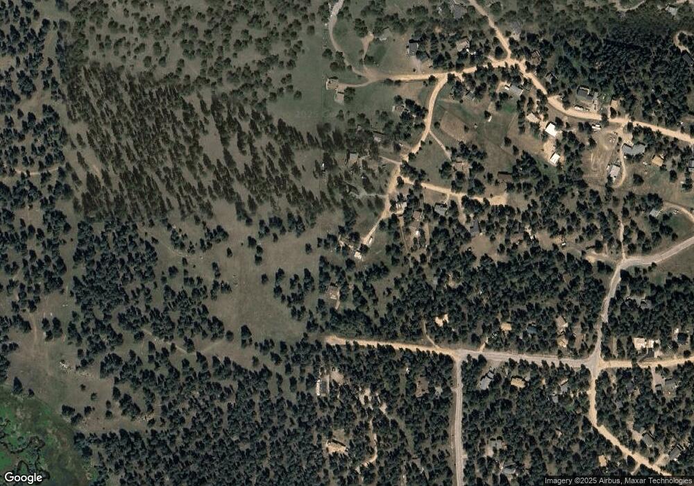
Map
Nearby Homes
- 1077 Roland Dr
- 114 Star Ln
- 638 Impala Trail
- 665 Impala Trail
- 20 Long Ridge Dr
- 752 Impala Trail
- 195 Doe Cir
- 217 Catamount Ridge Rd
- 663 Brookside Dr
- 987 Wisp Creek Dr
- 48 High View Ln
- 35005 Whispering Pines Trail
- 0 Hwy 285 Unit 6681598
- 2729 County Road 72
- 2222 County Road 72
- 212 Wisp Creek Dr
- 121 Sunlight Ln
- 64057 Us Highway 285
- 14803 S Wandcrest Dr
- 4501 County Road 72
Your Personal Tour Guide
Ask me questions while you tour the home.