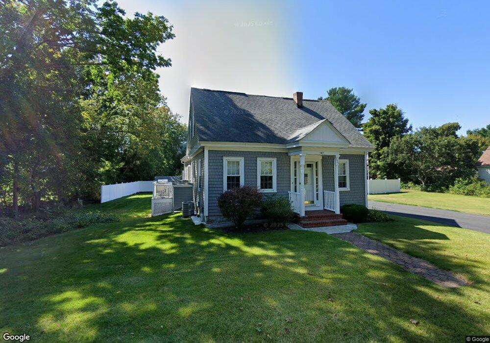
127 Plain St Taunton, MA 02780
Weir Village NeighborhoodEstimated Value: $458,878 - $507,000
3
Beds
1
Bath
1,086
Sq Ft
$445/Sq Ft
Est. Value
About This Home
This home is located at 127 Plain St, Taunton, MA 02780 and is currently estimated at $483,220, approximately $444 per square foot. 127 Plain St is a home located in Bristol County with nearby schools including East Taunton Elementary School, Taunton High School, and Joseph H. Martin.
Ownership History
Date
Name
Owned For
Owner Type
Purchase Details
Closed on
Jun 7, 2002
Sold by
Silvia Luty P and Silvia Joseph P
Bought by
Mather Kenneth F
Current Estimated Value
Home Financials for this Owner
Home Financials are based on the most recent Mortgage that was taken out on this home.
Original Mortgage
$126,900
Outstanding Balance
$53,997
Interest Rate
6.9%
Mortgage Type
Purchase Money Mortgage
Estimated Equity
$429,223
Create a Home Valuation Report for This Property
The Home Valuation Report is an in-depth analysis detailing your home's value as well as a comparison with similar homes in the area
Home Values in the Area
Average Home Value in this Area
Purchase History
| Date | Buyer | Sale Price | Title Company |
|---|---|---|---|
| Mather Kenneth F | $141,000 | -- |
Source: Public Records
Mortgage History
| Date | Status | Borrower | Loan Amount |
|---|---|---|---|
| Open | Mather Kenneth F | $126,900 |
Source: Public Records
Tax History
| Year | Tax Paid | Tax Assessment Tax Assessment Total Assessment is a certain percentage of the fair market value that is determined by local assessors to be the total taxable value of land and additions on the property. | Land | Improvement |
|---|---|---|---|---|
| 2025 | $4,908 | $448,600 | $133,500 | $315,100 |
| 2024 | $4,175 | $373,100 | $133,500 | $239,600 |
| 2023 | $4,139 | $343,500 | $133,500 | $210,000 |
| 2022 | $3,835 | $291,000 | $111,500 | $179,500 |
| 2021 | $3,808 | $268,200 | $101,500 | $166,700 |
| 2020 | $3,693 | $248,500 | $101,500 | $147,000 |
| 2019 | $3,883 | $246,400 | $106,500 | $139,900 |
| 2018 | $3,704 | $235,600 | $107,500 | $128,100 |
| 2017 | $3,535 | $225,000 | $102,500 | $122,500 |
| 2016 | $3,435 | $219,100 | $99,400 | $119,700 |
| 2015 | $3,349 | $223,100 | $99,400 | $123,700 |
| 2014 | $3,176 | $217,400 | $99,400 | $118,000 |
Source: Public Records
Map
Nearby Homes
- 9 Akron Ln
- 12 Beacon St
- 6 Southeast St
- 59 Linden St Unit 307
- 90 E Water St
- 212 Carriage Ln Unit 212
- 1316 Carriage Ln Unit 1316
- 816 County St Unit 1-12
- 3 Karena Dr Unit 4-21
- 36 Linden St
- 4 Staples Ave
- 28 Linden St
- 450 Somerset Ave Unit 3-7
- 29 Johnson St Unit C
- 29 Johnson St Unit A
- 29 Johnson St Unit B
- 600 County St
- 24 1st St
- 25 Johnson St Unit B
- 25 Johnson St Unit A
Your Personal Tour Guide
Ask me questions while you tour the home.