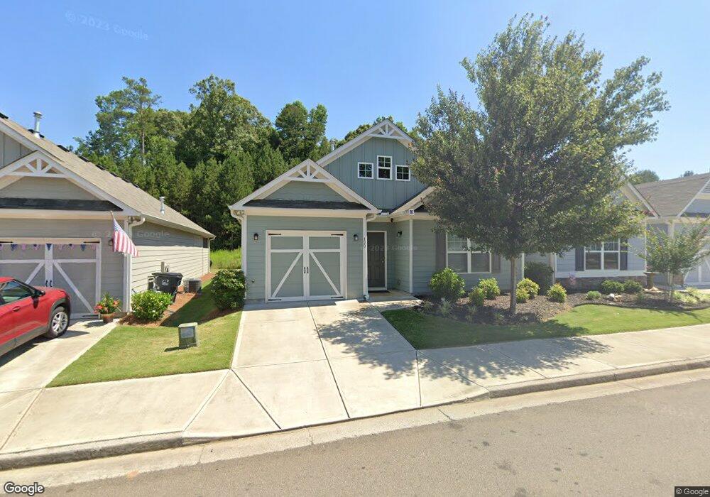
127 Point View Dr Canton, GA 30114
Estimated Value: $338,443 - $359,000
2
Beds
2
Baths
1,311
Sq Ft
$266/Sq Ft
Est. Value
About This Home
This home is located at 127 Point View Dr, Canton, GA 30114 and is currently estimated at $348,722, approximately $265 per square foot. 127 Point View Dr is a home with nearby schools including Hasty Elementary School Fine Arts Academy, Teasley Middle School, and Cherokee High School.
Ownership History
Date
Name
Owned For
Owner Type
Purchase Details
Closed on
Dec 31, 2018
Sold by
Piedmont Residential Llc
Bought by
Zvorak Charles Allen and Zvorak Leeann Rae
Current Estimated Value
Home Financials for this Owner
Home Financials are based on the most recent Mortgage that was taken out on this home.
Original Mortgage
$320,483
Outstanding Balance
$318,110
Interest Rate
4.8%
Mortgage Type
FHA
Estimated Equity
$30,612
Purchase Details
Closed on
Apr 12, 2017
Sold by
Wm Sub Rp Llc
Bought by
Pr Land Investments Llc
Home Financials for this Owner
Home Financials are based on the most recent Mortgage that was taken out on this home.
Original Mortgage
$107,500
Interest Rate
4.3%
Mortgage Type
New Conventional
Purchase Details
Closed on
Jun 4, 2013
Sold by
Crimson Portfolio Llc
Bought by
Crimson Village Parkway Llc
Create a Home Valuation Report for This Property
The Home Valuation Report is an in-depth analysis detailing your home's value as well as a comparison with similar homes in the area
Home Values in the Area
Average Home Value in this Area
Purchase History
| Date | Buyer | Sale Price | Title Company |
|---|---|---|---|
| Zvorak Charles Allen | $213,655 | -- | |
| Pr Land Investments Llc | $197,753 | -- | |
| Crimson Village Parkway Llc | $1,175,000 | -- |
Source: Public Records
Mortgage History
| Date | Status | Borrower | Loan Amount |
|---|---|---|---|
| Open | Zvorak Charles Allen | $320,483 | |
| Previous Owner | Pr Land Investments Llc | $107,500 |
Source: Public Records
Tax History
| Year | Tax Paid | Tax Assessment Tax Assessment Total Assessment is a certain percentage of the fair market value that is determined by local assessors to be the total taxable value of land and additions on the property. | Land | Improvement |
|---|---|---|---|---|
| 2025 | $470 | $132,792 | $28,000 | $104,792 |
| 2024 | $461 | $126,196 | $25,200 | $100,996 |
| 2023 | $293 | $121,004 | $25,200 | $95,804 |
| 2022 | $380 | $95,012 | $16,000 | $79,012 |
| 2021 | $397 | $81,740 | $16,000 | $65,740 |
| 2020 | $398 | $78,748 | $16,000 | $62,748 |
| 2019 | $398 | $74,400 | $16,000 | $58,400 |
| 2018 | $467 | $15,200 | $15,200 | $0 |
| 2017 | $115 | $36,000 | $14,400 | $0 |
| 2016 | $115 | $11,200 | $4,480 | $0 |
| 2015 | $104 | $10,000 | $4,000 | $0 |
| 2014 | $129 | $10,000 | $4,000 | $0 |
Source: Public Records
Map
Nearby Homes
- 133 Point View Dr
- 505 Riverview Ln
- 516 Riverview Ln
- 111 Point View Dr
- 3492 Ball Ground Hwy
- 3492 A Ball Ground Hwy
- 1547 York Dr
- 6086 Governors Walk Dr
- 345 Roland Dr
- 445 Milton Dr
- 3365 Confederate Point
- 161 Old Vandiver Dr
- - Bluffs Pkwy
- 707 Evergreen Ln
- 5916 Governors Walk Dr
- 618 Old Doss Dr
- 513 Forest Ln
- 908 Summit Dr
- 1107 Durham Rd
- 1204 Tahoe Place
- 125 Point View Dr
- 129 Point View Dr
- 123 Point View Dr
- 121 Point View Dr
- 301 Overview Dr
- 400 Rockview Dr
- 303 Overview Dr
- 303 Overview Dr
- 402 Rockview Dr
- 402 Rockview Dr Unit 88
- 119 Point View Dr
- 135 Point View Dr
- 404 Rockview Dr
- 404 Rockview Dr Unit 87
- 305 Overview Dr
- 137 Point View Dr
- 117 Point View Dr Unit 1
- 307 Overview Dr
- 138 Point View Dr
- 138 Point View Dr Unit 113
Your Personal Tour Guide
Ask me questions while you tour the home.