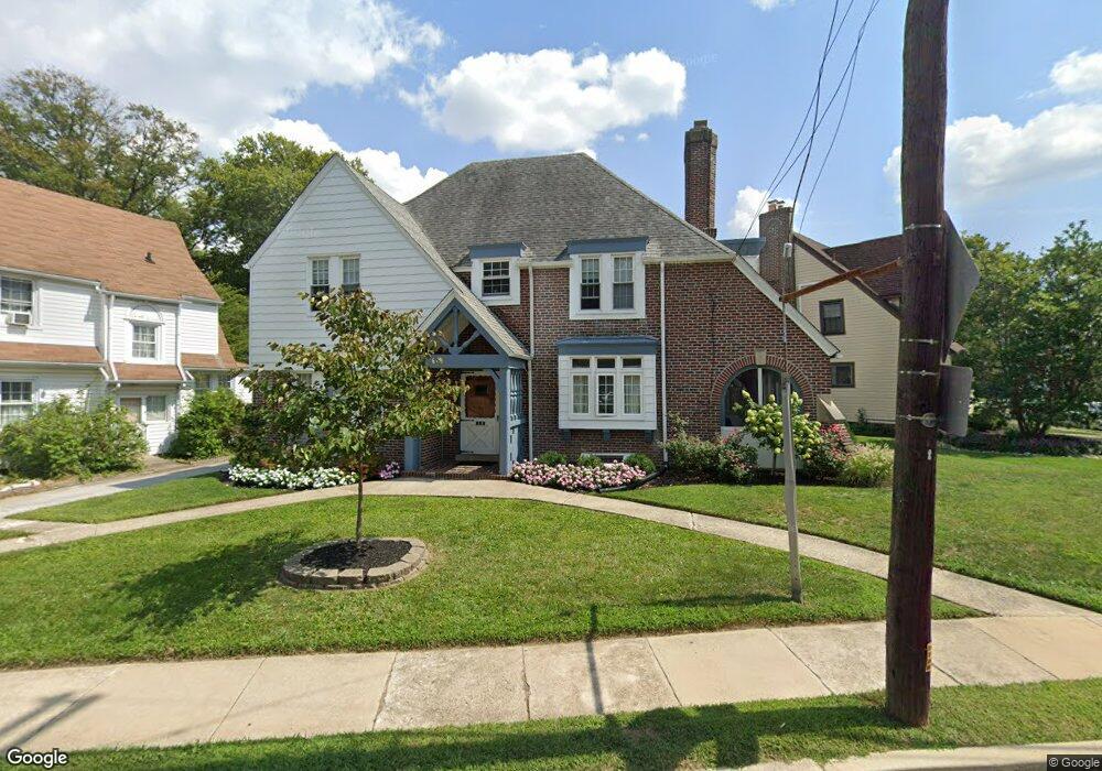
127 Powell Rd Springfield, PA 19064
Estimated Value: $444,000 - $478,000
4
Beds
2
Baths
2,188
Sq Ft
$214/Sq Ft
Est. Value
About This Home
This home is located at 127 Powell Rd, Springfield, PA 19064 and is currently estimated at $467,246, approximately $213 per square foot. 127 Powell Rd is a home located in Delaware County with nearby schools including Springfield High School, St Francis Of Assisi School, and Holy Cross School.
Ownership History
Date
Name
Owned For
Owner Type
Purchase Details
Closed on
Aug 16, 2019
Sold by
Daly Anne M
Bought by
Oconnell Patrick J
Current Estimated Value
Home Financials for this Owner
Home Financials are based on the most recent Mortgage that was taken out on this home.
Original Mortgage
$213,750
Outstanding Balance
$187,206
Interest Rate
3.7%
Mortgage Type
New Conventional
Estimated Equity
$280,041
Purchase Details
Closed on
Aug 15, 2001
Sold by
Oconnell Joan A
Bought by
Daly Robert and Daly Anne M
Home Financials for this Owner
Home Financials are based on the most recent Mortgage that was taken out on this home.
Original Mortgage
$84,500
Interest Rate
7.16%
Mortgage Type
Purchase Money Mortgage
Create a Home Valuation Report for This Property
The Home Valuation Report is an in-depth analysis detailing your home's value as well as a comparison with similar homes in the area
Home Values in the Area
Average Home Value in this Area
Purchase History
| Date | Buyer | Sale Price | Title Company |
|---|---|---|---|
| Oconnell Patrick J | $225,000 | City Abstract Llc | |
| Daly Robert | $130,000 | T A Title Insurance Company |
Source: Public Records
Mortgage History
| Date | Status | Borrower | Loan Amount |
|---|---|---|---|
| Open | Oconnell Patrick J | $213,750 | |
| Previous Owner | Daly Robert | $84,500 |
Source: Public Records
Tax History
| Year | Tax Paid | Tax Assessment Tax Assessment Total Assessment is a certain percentage of the fair market value that is determined by local assessors to be the total taxable value of land and additions on the property. | Land | Improvement |
|---|---|---|---|---|
| 2025 | $7,518 | $267,490 | $93,280 | $174,210 |
| 2024 | $7,518 | $267,490 | $93,280 | $174,210 |
| 2023 | $7,239 | $267,490 | $93,280 | $174,210 |
| 2022 | $7,083 | $267,490 | $93,280 | $174,210 |
| 2021 | $10,969 | $267,490 | $93,280 | $174,210 |
| 2020 | $6,875 | $151,710 | $44,830 | $106,880 |
| 2019 | $6,713 | $151,710 | $44,830 | $106,880 |
| 2018 | $6,617 | $151,710 | $0 | $0 |
| 2017 | $6,464 | $151,710 | $0 | $0 |
| 2016 | $850 | $151,710 | $0 | $0 |
| 2015 | $850 | $151,710 | $0 | $0 |
| 2014 | $850 | $151,710 | $0 | $0 |
Source: Public Records
Map
Nearby Homes
- 225 Lynbrooke Rd
- 238 Alliston Rd
- 208 Parham Rd
- 253 Saxer Ave
- 341 Harwicke Rd
- 334 Parham Rd
- 277 Ballymore Rd
- 264 Pancoast Ave
- 720 Evans Rd
- 29 School Ln
- 231 E Woodland Ave
- 354 E Springfield Rd
- 364 S Rolling Rd
- 412 Foster Dr
- 42 Greenhill Rd
- 405 E Woodland Ave
- 658 E Leamy Ave
- 428 Kent Rd
- 359 Spring Valley Rd
- 436 Kerr Ln
- 133 Powell Rd
- 123 Powell Rd
- 211 Sedgewood Rd
- 130 Powell Rd
- 213 Sedgewood Rd
- 218 Lynbrooke Rd
- 215 Sedgewood Rd
- 209 Lynbrooke Rd
- 139 Powell Rd
- 217 Sedgewood Rd
- 118 Lynbrooke Rd
- 210 Sedgewood Rd
- 222 Lynbrooke Rd
- 212 Sedgewood Rd
- 219 Sedgewood Rd
- 205 Lynbrooke Rd
- 214 Sedgewood Rd
- 213 Lynbrooke Rd
- 143 Powell Rd
- 221 Sedgewood Rd
Your Personal Tour Guide
Ask me questions while you tour the home.