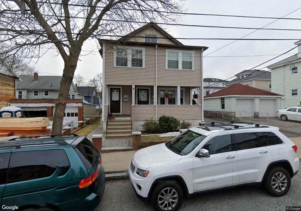
127 Rawson Rd Unit 129 Arlington, MA 02474
East Arlington NeighborhoodEstimated Value: $1,231,000 - $1,346,000
5
Beds
3
Baths
2,432
Sq Ft
$536/Sq Ft
Est. Value
About This Home
This home is located at 127 Rawson Rd Unit 129, Arlington, MA 02474 and is currently estimated at $1,304,083, approximately $536 per square foot. 127 Rawson Rd Unit 129 is a home located in Middlesex County with nearby schools including Thompson School, Ottoson Middle School, and Arlington High School.
Ownership History
Date
Name
Owned For
Owner Type
Purchase Details
Closed on
Sep 17, 2021
Sold by
Vallarelli Janice M and Vallarelli Richard J
Bought by
Janice M Vallarelli Irt and Vallarelli
Current Estimated Value
Purchase Details
Closed on
Apr 12, 2018
Sold by
Dinicola Michael P and Vallarelli Janice
Bought by
Vallarelli Janice M and Vallarelli Richard J
Home Financials for this Owner
Home Financials are based on the most recent Mortgage that was taken out on this home.
Original Mortgage
$355,000
Interest Rate
4.43%
Mortgage Type
New Conventional
Purchase Details
Closed on
Oct 16, 2003
Sold by
Dinicola Josephine F and Dinicola Michael P
Bought by
Vallarelli Janice and Dinicola Michael P
Create a Home Valuation Report for This Property
The Home Valuation Report is an in-depth analysis detailing your home's value as well as a comparison with similar homes in the area
Home Values in the Area
Average Home Value in this Area
Purchase History
| Date | Buyer | Sale Price | Title Company |
|---|---|---|---|
| Janice M Vallarelli Irt | -- | None Available | |
| Vallarelli Janice M | -- | -- | |
| Vallarelli Janice | -- | -- |
Source: Public Records
Mortgage History
| Date | Status | Borrower | Loan Amount |
|---|---|---|---|
| Previous Owner | Vallarelli Janice M | $355,000 |
Source: Public Records
Tax History
| Year | Tax Paid | Tax Assessment Tax Assessment Total Assessment is a certain percentage of the fair market value that is determined by local assessors to be the total taxable value of land and additions on the property. | Land | Improvement |
|---|---|---|---|---|
| 2025 | $11,883 | $1,103,300 | $592,800 | $510,500 |
| 2024 | $10,977 | $1,036,500 | $564,300 | $472,200 |
| 2023 | $10,919 | $974,000 | $473,100 | $500,900 |
| 2022 | $10,880 | $952,700 | $456,000 | $496,700 |
| 2021 | $10,569 | $932,000 | $456,000 | $476,000 |
| 2020 | $10,310 | $932,200 | $456,000 | $476,200 |
| 2019 | $9,663 | $858,200 | $484,500 | $373,700 |
| 2018 | $8,820 | $727,100 | $353,400 | $373,700 |
| 2017 | $8,295 | $660,400 | $307,800 | $352,600 |
| 2016 | $7,869 | $614,800 | $262,200 | $352,600 |
| 2015 | $7,782 | $574,300 | $256,500 | $317,800 |
Source: Public Records
Map
Nearby Homes
- 27-29 Dartmouth St Unit 1
- 155-157 Palmer St
- 18 Wellesley Rd
- 199 Everett St Unit 199
- 53 Warren St Unit 53
- 165-167 Franklin St Unit 1
- 52 Warren St
- 145 Jerome St
- 68-70 Hamlet St
- 44 Sherman St
- 31 Sharon St
- 6 Gordon Rd
- 111 Sharon St Unit 1
- 61-63 Foster St
- 0 Jerome St Unit 72734260
- 120 Broadway
- 47 Holton St
- 48 Mystic Lake Dr Unit 48
- 15 Medford St Unit 4
- 4 Grove St
- 127 Rawson Rd Unit 1
- 129 Rawson Rd Unit 2
- 174 Mystic Valley Pkwy Unit 176
- 174 Mystic Valley Pkwy Unit 1
- 176 Mystic Valley Pkwy Unit PKWAY
- 131 Rawson Rd Unit 1
- 170 Mystic Valley Pkwy Unit 172
- 172 Mystic Valley Pkwy Unit 1
- 172 Mystic Valley Pkwy Unit PKWY
- 170 Mystic Valley Pkwy Unit 170
- 170 Mystic Valley Pkwy Unit 2
- 170 Mystic Valley Pkwy Unit 1
- 172 Mystic Valley Pkwy Unit 2
- 170-172 Mystic Valley Pkwy
- 37 Fordham St
- 39 Fordham St Unit 41
- 39 Fordham St Unit 2
- 168 Mystic Valley Pkwy Unit 1
- 166 Mystic Valley Pkwy
- 168 Mystic Valley Pkwy Unit 168,166-168
Your Personal Tour Guide
Ask me questions while you tour the home.