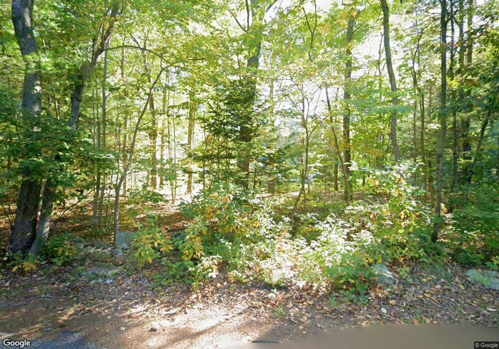
127 Reynolds Ave Rehoboth, MA 02769
Estimated Value: $563,109 - $709,000
4
Beds
4
Baths
1,755
Sq Ft
$364/Sq Ft
Est. Value
About This Home
This home is located at 127 Reynolds Ave, Rehoboth, MA 02769 and is currently estimated at $639,527, approximately $364 per square foot. 127 Reynolds Ave is a home located in Bristol County with nearby schools including Dighton-Rehoboth Regional High School, Cedar Brook School, and The Pinecroft School.
Ownership History
Date
Name
Owned For
Owner Type
Purchase Details
Closed on
Feb 3, 2017
Sold by
Motay Wayne J and Motay Collen
Bought by
Motay Colleen and Motay Wayne J
Current Estimated Value
Create a Home Valuation Report for This Property
The Home Valuation Report is an in-depth analysis detailing your home's value as well as a comparison with similar homes in the area
Home Values in the Area
Average Home Value in this Area
Purchase History
| Date | Buyer | Sale Price | Title Company |
|---|---|---|---|
| Motay Colleen | -- | -- |
Source: Public Records
Tax History Compared to Growth
Tax History
| Year | Tax Paid | Tax Assessment Tax Assessment Total Assessment is a certain percentage of the fair market value that is determined by local assessors to be the total taxable value of land and additions on the property. | Land | Improvement |
|---|---|---|---|---|
| 2025 | $53 | $471,100 | $197,400 | $273,700 |
| 2024 | $5,228 | $460,200 | $197,400 | $262,800 |
| 2023 | $5,132 | $443,200 | $193,400 | $249,800 |
| 2022 | $5,030 | $397,000 | $185,000 | $212,000 |
| 2021 | $0 | $362,500 | $168,700 | $193,800 |
| 2020 | $4,593 | $350,100 | $168,700 | $181,400 |
| 2018 | $4,097 | $342,300 | $160,900 | $181,400 |
| 2017 | $3,833 | $305,200 | $160,900 | $144,300 |
| 2016 | $3,760 | $309,500 | $160,900 | $148,600 |
| 2015 | $3,455 | $280,700 | $153,700 | $127,000 |
| 2014 | $3,402 | $273,500 | $146,500 | $127,000 |
Source: Public Records
Map
Nearby Homes
- 29 & 43 Francis St
- 58 Peck St
- 48 Round Farm Rd
- 1 Round Farm Rd
- 2 Round Farm Rd
- 70 Forest Hill Dr
- 14 Tremont St
- 1120 Glebe St
- 805 Burt St
- 0 Kimberly Rd
- 2045 Winthrop St
- 27 Run Brook Cir
- 701 Winthrop St Unit 312
- 837 Glebe St
- 2181 Wheeler St
- 0 Range Ave Unit 72771508
- 0 Range Ave Unit 72771509
- 24 New St
- 257 Anawan St
- 470 Hodges St
- 121 Reynolds Ave
- Lot 31 Reynolds Ave
- 94 Reynolds Ave
- 98 Reynolds Ave
- 163 Peck St
- 133 Reynolds Ave
- 122 Reynolds Ave
- 130 Reynolds Ave
- 142 Reynolds Ave
- 113 Reynolds Ave
- 113 Reynolds Ave
- 113 Reynolds Ave
- 134 Reynolds Ave
- 137 Reynolds Ave
- 138 Reynolds Ave
- 159 Peck St
- 156 Peck St
- 146 Reynolds Ave
- 146 Reynolds Ave
- 146 Reynolds Ave
