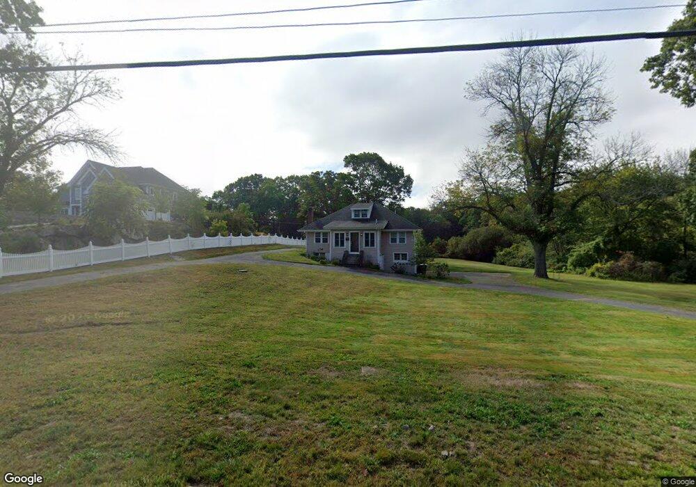
127 Rockland St Hingham, MA 02043
Estimated Value: $712,901 - $886,000
4
Beds
2
Baths
--
Sq Ft
102,802
Sq Ft Lot
About This Home
This home is located at 127 Rockland St, Hingham, MA 02043 and is currently estimated at $795,225. 127 Rockland St is a home located in Plymouth County with nearby schools including East Elementary School, Hingham Middle School, and Hingham High School.
Ownership History
Date
Name
Owned For
Owner Type
Purchase Details
Closed on
Sep 11, 2024
Sold by
Noonan Nancy Ann Est and Noonan
Bought by
Lawson Ian and Lawson Sarah
Current Estimated Value
Home Financials for this Owner
Home Financials are based on the most recent Mortgage that was taken out on this home.
Original Mortgage
$487,500
Outstanding Balance
$480,800
Interest Rate
7.63%
Mortgage Type
Purchase Money Mortgage
Estimated Equity
$314,425
Purchase Details
Closed on
Jun 20, 2023
Sold by
Cook Nancy A
Bought by
Noon Michael
Create a Home Valuation Report for This Property
The Home Valuation Report is an in-depth analysis detailing your home's value as well as a comparison with similar homes in the area
Purchase History
| Date | Buyer | Sale Price | Title Company |
|---|---|---|---|
| Lawson Ian | $650,000 | None Available | |
| Noon Michael | -- | None Available | |
| Noon Michael | -- | None Available |
Source: Public Records
Mortgage History
| Date | Status | Borrower | Loan Amount |
|---|---|---|---|
| Open | Lawson Ian | $487,500 |
Source: Public Records
Tax History
| Year | Tax Paid | Tax Assessment Tax Assessment Total Assessment is a certain percentage of the fair market value that is determined by local assessors to be the total taxable value of land and additions on the property. | Land | Improvement |
|---|---|---|---|---|
| 2025 | $6,359 | $594,900 | $389,800 | $205,100 |
| 2024 | $6,129 | $564,900 | $389,800 | $175,100 |
| 2023 | $5,314 | $531,400 | $361,600 | $169,800 |
| 2022 | $5,167 | $447,000 | $301,400 | $145,600 |
| 2021 | $5,040 | $427,100 | $301,400 | $125,700 |
| 2020 | $4,924 | $427,100 | $301,400 | $125,700 |
| 2019 | $4,948 | $419,000 | $301,400 | $117,600 |
| 2018 | $4,806 | $399,500 | $301,400 | $98,100 |
| 2017 | $4,757 | $388,300 | $310,200 | $78,100 |
| 2016 | $4,832 | $386,900 | $295,400 | $91,500 |
| 2015 | $4,531 | $361,600 | $261,000 | $100,600 |
Source: Public Records
Map
Nearby Homes
- 101 Rockland St
- LOT 1B Rockland St
- 8 Evergreen Ln
- 3 Evergreen Ln
- 112 Martins Ln
- 10 Chestnut Place
- 2 Cliff Rd
- 9 Barnes Rd
- 114 Hull St
- 166 Hull St
- 82 East St
- 155 George Washington Blvd Unit 210
- 65 East St
- 12 Rockwood Rd
- 2 Woodbine Ln
- 23 Wyola Rd
- 99 Nantasket Ave
- 22 Berkley Rd Unit B
- 10 Berkley Rd Unit A
- 121 Nantasket Ave Unit 503
- 127 Rockland St
- 127 Rockland St
- 129 Rockland St
- 131 Rockland St
- 142 Kilby St
- 134 Kilby St
- 128 Kilby St
- 116 Rockland St
- 116 Rockland St Unit 1
- 124 Kilby St
- 101 Rockland St Land
- 120 Kilby St
- 156 Kilby St
- 129 Kilby St
- 37 George Washington Blvd
- 35 George Washington Blvd
- 98R Kilby St
- 112 Kilby St
- 39 George Washington Blvd
- 33 George Washington Blvd
Your Personal Tour Guide
Ask me questions while you tour the home.