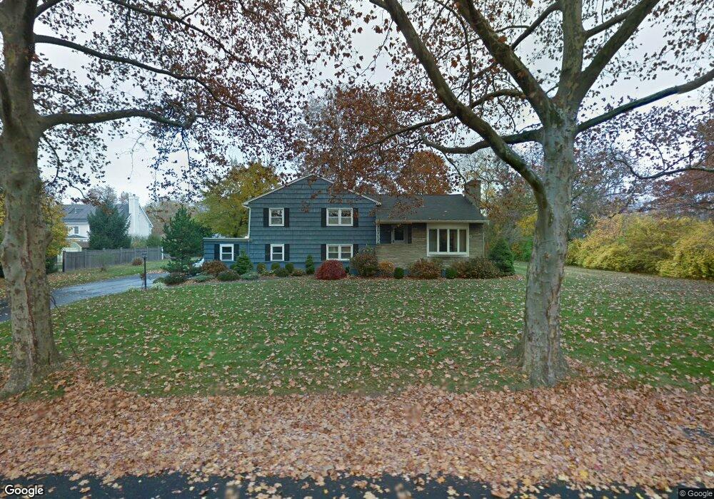
127 Ronald Dr Fairfield, CT 06825
Tunxis Hill NeighborhoodEstimated Value: $536,000 - $696,000
3
Beds
2
Baths
1,440
Sq Ft
$450/Sq Ft
Est. Value
About This Home
This home is located at 127 Ronald Dr, Fairfield, CT 06825 and is currently estimated at $647,545, approximately $449 per square foot. 127 Ronald Dr is a home located in Fairfield County with nearby schools including Jennings Elementary School, Fairfield Woods Middle School, and Fairfield Warde High School.
Ownership History
Date
Name
Owned For
Owner Type
Purchase Details
Closed on
Jul 28, 2022
Sold by
Gentile Beverly A
Bought by
Gentile Beverly A and Reichert Danielle C
Current Estimated Value
Purchase Details
Closed on
Aug 4, 1986
Bought by
Gentile Beverly A
Create a Home Valuation Report for This Property
The Home Valuation Report is an in-depth analysis detailing your home's value as well as a comparison with similar homes in the area
Home Values in the Area
Average Home Value in this Area
Purchase History
| Date | Buyer | Sale Price | Title Company |
|---|---|---|---|
| Gentile Beverly A | -- | None Available | |
| Gentile Beverly A | -- | None Available | |
| Gentile Beverly A | -- | -- |
Source: Public Records
Mortgage History
| Date | Status | Borrower | Loan Amount |
|---|---|---|---|
| Previous Owner | Gentile Beverly A | $100,000 |
Source: Public Records
Tax History Compared to Growth
Tax History
| Year | Tax Paid | Tax Assessment Tax Assessment Total Assessment is a certain percentage of the fair market value that is determined by local assessors to be the total taxable value of land and additions on the property. | Land | Improvement |
|---|---|---|---|---|
| 2025 | $9,251 | $325,850 | $241,360 | $84,490 |
| 2024 | $9,091 | $325,850 | $241,360 | $84,490 |
| 2023 | $8,964 | $325,850 | $241,360 | $84,490 |
| 2022 | $8,876 | $325,850 | $241,360 | $84,490 |
| 2021 | $8,791 | $325,850 | $241,360 | $84,490 |
| 2020 | $7,732 | $288,610 | $207,410 | $81,200 |
| 2019 | $7,732 | $288,610 | $207,410 | $81,200 |
| 2018 | $7,608 | $288,610 | $207,410 | $81,200 |
| 2017 | $7,452 | $288,610 | $207,410 | $81,200 |
| 2016 | $7,345 | $288,610 | $207,410 | $81,200 |
| 2015 | $6,884 | $277,690 | $218,330 | $59,360 |
| 2014 | $6,776 | $277,690 | $218,330 | $59,360 |
Source: Public Records
Map
Nearby Homes
- 27 Bloomfield Dr
- 67 Campfield Dr
- 270 Oakwood Dr
- 244 Tunxis Hill Cut Off
- 24 Warsaw St
- 152 Roseville St
- 1335 Black Rock Turnpike
- 148 Roseville St
- 140 Tunxis Hill Cut Off
- 143 Sawyer Rd
- 42 Fairway Green
- 31 High Ridge Rd
- 251 Soundview Ave
- 1009 High St
- 706 Judd St
- 299 Marlborough Terrace
- 162 Country Rd Unit 162
- 221 Hunyadi Ave
- 115 Mayfair Rd
- 74 Soundview Ave