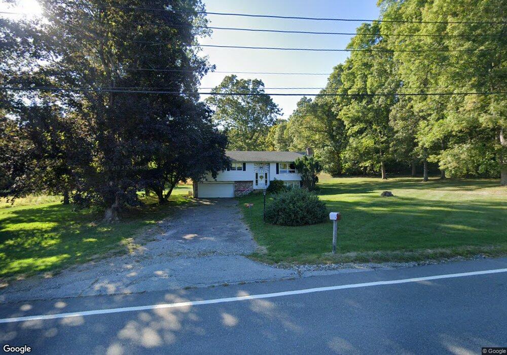
127 Route 164 Preston, CT 06365
Estimated Value: $392,000 - $436,000
3
Beds
4
Baths
1,390
Sq Ft
$298/Sq Ft
Est. Value
About This Home
This home is located at 127 Route 164, Preston, CT 06365 and is currently estimated at $414,332, approximately $298 per square foot. 127 Route 164 is a home located in New London County.
Create a Home Valuation Report for This Property
The Home Valuation Report is an in-depth analysis detailing your home's value as well as a comparison with similar homes in the area
Home Values in the Area
Average Home Value in this Area
Tax History Compared to Growth
Tax History
| Year | Tax Paid | Tax Assessment Tax Assessment Total Assessment is a certain percentage of the fair market value that is determined by local assessors to be the total taxable value of land and additions on the property. | Land | Improvement |
|---|---|---|---|---|
| 2025 | $5,502 | $219,100 | $53,970 | $165,130 |
| 2024 | $5,120 | $219,100 | $53,970 | $165,130 |
| 2023 | $5,028 | $219,100 | $53,970 | $165,130 |
| 2022 | $4,096 | $146,900 | $47,300 | $99,600 |
| 2021 | $3,957 | $146,900 | $47,300 | $99,600 |
| 2020 | $3,952 | $146,900 | $47,300 | $99,600 |
| 2019 | $3,883 | $146,900 | $47,300 | $99,600 |
| 2018 | $3,824 | $146,900 | $47,300 | $99,600 |
| 2017 | $3,612 | $150,500 | $48,700 | $101,800 |
| 2016 | $3,498 | $147,300 | $45,500 | $101,800 |
| 2015 | $3,388 | $147,300 | $45,500 | $101,800 |
| 2014 | $3,409 | $147,300 | $45,500 | $101,800 |
Source: Public Records
Map
Nearby Homes
- 39 Doolittle Rd
- 6 Lake of Isles Rd
- 381 Route 2
- 57 NW Corner Rd
- 18 Maynard Hill Rd
- 55A Anna Farm Rd W
- 0 Lake of Isles Rd Unit 170371521
- 15 Paster Rd
- 381 Route 164
- 16 Abbey Rd
- 14 Abbey Rd
- 3 Webster Dr
- 19 Cedarcrest Dr
- 6 Route 117
- 104 Route 2a
- 59 Long Society Rd
- 63 Route 165
- 5 Arrowhead Dr
- 7 Barn Rd
- 1 Long Society Rd