127 Route 39 N Sherman, CT 06784
Estimated Value: $645,000 - $741,410
3
Beds
3
Baths
3,024
Sq Ft
$231/Sq Ft
Est. Value
About This Home
This home is located at 127 Route 39 N, Sherman, CT 06784 and is currently estimated at $697,853, approximately $230 per square foot. 127 Route 39 N is a home located in Fairfield County with nearby schools including Sherman School.
Create a Home Valuation Report for This Property
The Home Valuation Report is an in-depth analysis detailing your home's value as well as a comparison with similar homes in the area
Home Values in the Area
Average Home Value in this Area
Tax History Compared to Growth
Tax History
| Year | Tax Paid | Tax Assessment Tax Assessment Total Assessment is a certain percentage of the fair market value that is determined by local assessors to be the total taxable value of land and additions on the property. | Land | Improvement |
|---|---|---|---|---|
| 2025 | $5,529 | $331,700 | $72,100 | $259,600 |
| 2024 | $5,427 | $331,700 | $72,100 | $259,600 |
| 2023 | $5,911 | $331,700 | $72,100 | $259,600 |
| 2022 | $6,030 | $331,700 | $72,100 | $259,600 |
| 2021 | $10,200 | $331,700 | $72,100 | $259,600 |
| 2020 | $6,339 | $331,700 | $72,100 | $259,600 |
| 2019 | $6,571 | $331,700 | $72,100 | $259,600 |
| 2018 | $9,811 | $343,200 | $76,000 | $267,200 |
| 2017 | $9,244 | $343,200 | $76,000 | $267,200 |
| 2016 | $6,977 | $343,210 | $76,020 | $267,190 |
| 2015 | $6,878 | $343,210 | $76,020 | $267,190 |
| 2014 | $6,809 | $343,210 | $76,020 | $267,190 |
Source: Public Records
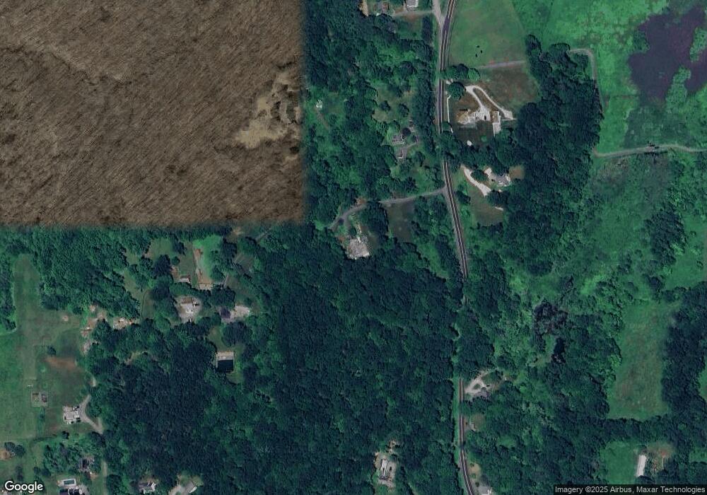
Map
Nearby Homes
- 49 Quaker Ridge Rd
- 00 Anderson Rd
- 1 Cloverleaf Farm S
- 107 Church Rd
- 55 Colonial Ridge Dr
- 48 Gaylord Rd
- 1 Hoyt Rd
- 43 Gaylord Rd
- 31 Cedar Hill Rd
- 16 Gaylord Rd
- 36 Byrds Hill Rd
- 612 Kent Rd
- 685 Kent Rd
- 696 Kent Rd
- 77 Squash Hollow Rd
- 165 Duell Hollow Rd
- 41 Long River Rd
- 16 Anderson Rd
- 2 Coburn Road W, She Coburn Rd W
- 60 Long River Rd