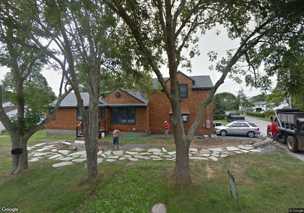
127 Ruggles Ave Newport, RI 02840
Lily-Almy Pond NeighborhoodEstimated Value: $1,075,000 - $1,851,000
3
Beds
2
Baths
1,232
Sq Ft
$1,184/Sq Ft
Est. Value
About This Home
This home is located at 127 Ruggles Ave, Newport, RI 02840 and is currently estimated at $1,459,081, approximately $1,184 per square foot. 127 Ruggles Ave is a home located in Newport County with nearby schools including Rogers High School and St Michael's Country Day School.
Ownership History
Date
Name
Owned For
Owner Type
Purchase Details
Closed on
Jul 25, 2011
Sold by
Strack Katherine L
Bought by
Kay 3Rd William M and May Giulia R
Current Estimated Value
Create a Home Valuation Report for This Property
The Home Valuation Report is an in-depth analysis detailing your home's value as well as a comparison with similar homes in the area
Home Values in the Area
Average Home Value in this Area
Purchase History
| Date | Buyer | Sale Price | Title Company |
|---|---|---|---|
| Kay 3Rd William M | $347,000 | -- |
Source: Public Records
Mortgage History
| Date | Status | Borrower | Loan Amount |
|---|---|---|---|
| Open | Kay 3Rd William M | $567,495 | |
| Closed | Kay 3Rd William M | $573,051 |
Source: Public Records
Tax History Compared to Growth
Tax History
| Year | Tax Paid | Tax Assessment Tax Assessment Total Assessment is a certain percentage of the fair market value that is determined by local assessors to be the total taxable value of land and additions on the property. | Land | Improvement |
|---|---|---|---|---|
| 2025 | $8,848 | $1,232,300 | $623,600 | $608,700 |
| 2024 | $8,589 | $1,232,300 | $623,600 | $608,700 |
| 2023 | $9,507 | $958,400 | $410,500 | $547,900 |
| 2022 | $9,210 | $958,400 | $410,500 | $547,900 |
| 2021 | $8,942 | $958,400 | $410,500 | $547,900 |
| 2020 | $7,493 | $728,900 | $349,000 | $379,900 |
| 2019 | $7,493 | $728,900 | $349,000 | $379,900 |
| 2018 | $7,262 | $726,900 | $349,000 | $377,900 |
| 2017 | $6,977 | $622,400 | $273,100 | $349,300 |
| 2016 | $6,803 | $622,400 | $273,100 | $349,300 |
| 2015 | $6,641 | $622,400 | $273,100 | $349,300 |
| 2014 | $6,556 | $543,600 | $213,500 | $330,100 |
Source: Public Records
Map
Nearby Homes
- 63 Coggeshall Ave
- 519 Bellevue Ave Unit 1W
- 70 Carroll Ave Unit 905
- 70 Carroll Ave Unit 510
- 553 Bellevue Ave Unit 14
- 0 Meikle Ave
- 17 Meikle Ave Unit 19
- 39 Connection St
- 207 Ruggles Ave
- 99 Roseneath Ave
- 91 Houston Ave
- 57 Clinton St Unit 57C
- 45 Hammond St Unit 2
- 46 Chastellux Ave Unit M6
- 11 Ocean Heights Rd
- 604 Thames & 4 Dixon St
- 62 Dixon St
- 6 Sharon Ct
- 35 Chastellux Ave Unit I
- 13 Dean Ave
- 49 Mccormick Rd
- 123 Ruggles Ave
- 131 Ruggles Ave
- 47 Mccormick Rd
- 48 Mccormick Rd
- 126 Ruggles Ave
- 124 Ruggles Ave
- 121 Ruggles Ave
- 130 Ruggles Ave
- 46 Mccormick Rd
- 122 Ruggles Ave
- 43 Mccormick Rd
- 135 Ruggles Ave
- 30 Weatherly Ave
- 29 Weatherly Ave
- 132 Ruggles Ave
- 120 Ruggles Ave
- 8 Mccormick Rd
- 139 Ruggles Ave
- 119 Ruggles Ave