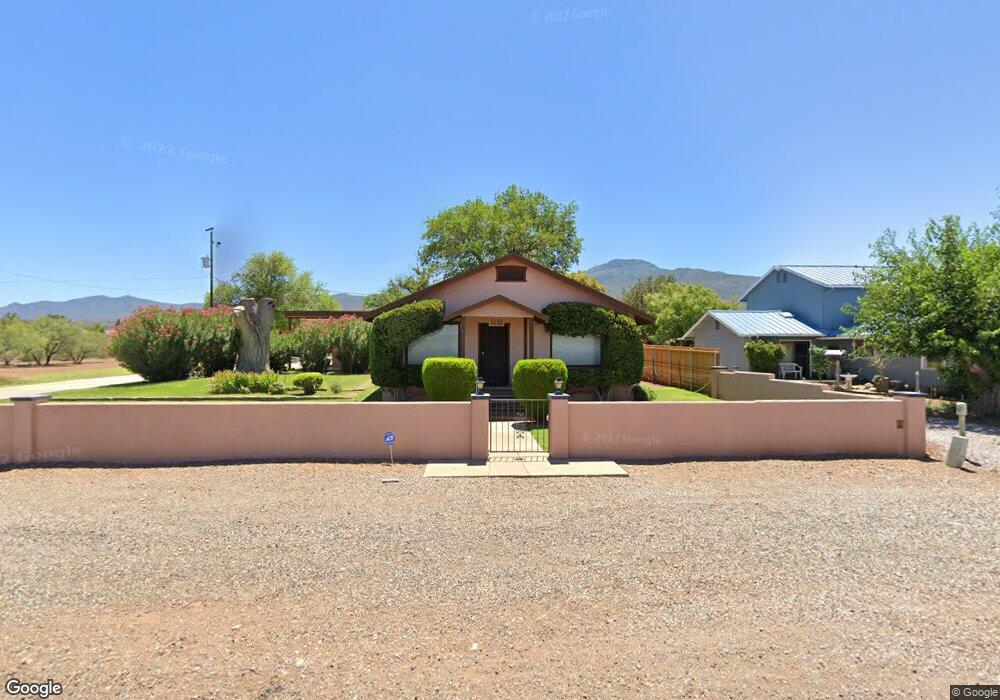
127 S Airport Rd Cottonwood, AZ 86326
Cottonwood NeighborhoodEstimated Value: $367,252 - $491,000
--
Bed
--
Bath
1,603
Sq Ft
$262/Sq Ft
Est. Value
About This Home
This home is located at 127 S Airport Rd, Cottonwood, AZ 86326 and is currently estimated at $420,563, approximately $262 per square foot. 127 S Airport Rd is a home located in Yavapai County with nearby schools including Cottonwood Elementary School, Dr Daniel Bright Elementary School, and Cottonwood Community School.
Ownership History
Date
Name
Owned For
Owner Type
Purchase Details
Closed on
Dec 30, 2011
Sold by
Pirtle Judy Ann
Bought by
Pirtle Gordon L and Pirtle Judy A
Current Estimated Value
Purchase Details
Closed on
Jul 20, 2010
Sold by
Pirtle Judy Ann and Lyle & Zelma Price Family Trus
Bought by
Pirtle Judy Ann
Purchase Details
Closed on
Mar 31, 2010
Sold by
Pirtle Judy Ann and Lyle & Zelma Price Family Trus
Bought by
Pirtle Judy Ann and Lyle & Zelma Price Family Trus
Purchase Details
Closed on
Jul 13, 1994
Sold by
Price Zelma F and Pirtle Judy Ann
Bought by
Price Zelma F and Pirtle Judy Ann
Purchase Details
Closed on
Jan 4, 1983
Sold by
Price Lyle J and Price Zelma F
Bought by
Price Lyle J and Price Zelma F
Create a Home Valuation Report for This Property
The Home Valuation Report is an in-depth analysis detailing your home's value as well as a comparison with similar homes in the area
Home Values in the Area
Average Home Value in this Area
Purchase History
| Date | Buyer | Sale Price | Title Company |
|---|---|---|---|
| Pirtle Gordon L | -- | None Available | |
| Pirtle Judy Ann | -- | None Available | |
| Pirtle Judy Ann | -- | None Available | |
| Price Zelma F | -- | -- | |
| Price Lyle J | -- | -- |
Source: Public Records
Tax History Compared to Growth
Tax History
| Year | Tax Paid | Tax Assessment Tax Assessment Total Assessment is a certain percentage of the fair market value that is determined by local assessors to be the total taxable value of land and additions on the property. | Land | Improvement |
|---|---|---|---|---|
| 2026 | $1,312 | $30,767 | -- | -- |
| 2024 | $1,288 | $29,968 | -- | -- |
| 2023 | $1,288 | $23,717 | $5,085 | $18,632 |
| 2022 | $1,282 | $20,271 | $4,094 | $16,177 |
| 2021 | $1,353 | $18,817 | $4,134 | $14,683 |
| 2020 | $1,343 | $0 | $0 | $0 |
| 2019 | $1,332 | $0 | $0 | $0 |
| 2018 | $1,287 | $0 | $0 | $0 |
| 2017 | $1,237 | $0 | $0 | $0 |
| 2016 | $1,211 | $0 | $0 | $0 |
| 2015 | -- | $0 | $0 | $0 |
| 2014 | $1,067 | $0 | $0 | $0 |
Source: Public Records
Map
Nearby Homes
- 240 S Maverick Way
- 1660 W Bronco Ln
- 1830 W Trail Blazer Dr
- 1869 W Trail Blazer Dr
- 1910 W Trail Blazer Dr
- 15 N Alamos Dr Unit A & B
- 1850 W Wagon Wheel Rd
- 293 S Wild Horse Way
- 1865 W Wagon Wheel Rd
- 338 S Wild Horse Way
- Xxxx Xxxx --
- 265 S Latigo Way
- 235 S Cowboy Way
- 240 Rogers Place
- 222 Rogers Place
- 2101 Canyon Dr
- 1941 Crossroads Blvd
- 1985 Roadrunner Ct
- 1975 Golddust Cir
- 421 Casner Dr