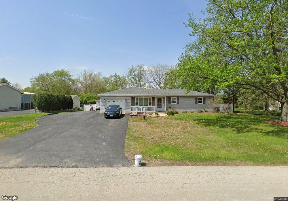
127 S Anderson Rd New Lenox, IL 60451
Estimated Value: $379,000 - $417,000
4
Beds
3
Baths
1,700
Sq Ft
$232/Sq Ft
Est. Value
About This Home
This home is located at 127 S Anderson Rd, New Lenox, IL 60451 and is currently estimated at $394,337, approximately $231 per square foot. 127 S Anderson Rd is a home located in Will County with nearby schools including Bentley Elementary School, Arnold J Tyler School, and Alex M Martino Jr High School.
Ownership History
Date
Name
Owned For
Owner Type
Purchase Details
Closed on
Sep 22, 2017
Sold by
Mesch Timothy G and Mesch Renee
Bought by
Sefcik Deborah Marie
Current Estimated Value
Home Financials for this Owner
Home Financials are based on the most recent Mortgage that was taken out on this home.
Original Mortgage
$247,913
Outstanding Balance
$210,272
Interest Rate
4.5%
Mortgage Type
FHA
Estimated Equity
$184,065
Purchase Details
Closed on
May 12, 1995
Sold by
Shelton Randall S and Shelton Jan E
Bought by
Mesch Timothy G and Mesch Elizabeth A
Home Financials for this Owner
Home Financials are based on the most recent Mortgage that was taken out on this home.
Original Mortgage
$132,900
Interest Rate
8.42%
Purchase Details
Closed on
Jul 21, 1989
Bought by
Mesch Timothy G
Create a Home Valuation Report for This Property
The Home Valuation Report is an in-depth analysis detailing your home's value as well as a comparison with similar homes in the area
Home Values in the Area
Average Home Value in this Area
Purchase History
| Date | Buyer | Sale Price | Title Company |
|---|---|---|---|
| Sefcik Deborah Marie | $252,500 | Attorney | |
| Mesch Timothy G | $140,000 | -- | |
| Mesch Timothy G | $98,000 | -- |
Source: Public Records
Mortgage History
| Date | Status | Borrower | Loan Amount |
|---|---|---|---|
| Open | Sefcik Deborah Marie | $247,913 | |
| Previous Owner | Mesch Timothy G | $132,900 |
Source: Public Records
Tax History Compared to Growth
Tax History
| Year | Tax Paid | Tax Assessment Tax Assessment Total Assessment is a certain percentage of the fair market value that is determined by local assessors to be the total taxable value of land and additions on the property. | Land | Improvement |
|---|---|---|---|---|
| 2024 | $7,316 | $101,497 | $33,966 | $67,531 |
| 2023 | $7,316 | $92,523 | $30,963 | $61,560 |
| 2022 | $7,013 | $85,235 | $28,524 | $56,711 |
| 2021 | $6,267 | $80,161 | $26,826 | $53,335 |
| 2020 | $6,128 | $77,301 | $25,869 | $51,432 |
| 2019 | $5,813 | $74,904 | $25,067 | $49,837 |
| 2018 | $5,673 | $72,322 | $24,203 | $48,119 |
| 2017 | $5,380 | $70,243 | $23,507 | $46,736 |
| 2016 | $5,218 | $68,363 | $22,878 | $45,485 |
| 2015 | $5,046 | $66,211 | $22,158 | $44,053 |
| 2014 | $5,046 | $65,393 | $21,884 | $43,509 |
| 2013 | $5,046 | $66,274 | $22,179 | $44,095 |
Source: Public Records
Map
Nearby Homes
- 125 N Anderson Rd
- 214 Somerset Ct
- 513 Somerset Ln
- 449 Somerset Ln Unit 1
- 1017 E Lincoln Hwy
- 1212 Georgias Way
- 1193 Georgias Way
- 1245 Georgias Way
- 1351 E Lincoln Hwy
- 1139 Georgias Way
- 1125 Georgias Way
- 117 Walona Ave
- 1535 Glenbrooke Ln
- 641 Lisson Grove
- 701 Bishops Gate
- 203 Tonell Ave
- 621 Chatfield Rd
- 1920 Tessington Ct
- 235 Roberts Rd
- 1931 Tessington Ct
- 137 S Anderson Rd
- 117 S Anderson Rd
- 110 S Anderson Rd
- 147 S Anderson Rd
- 107 S Anderson Rd
- 140 S Anderson Rd
- 835 Somerset St
- 841 Somerset St
- 146 S Anderson Rd
- 1450 E Lincoln Hwy
- 13245 W Lincoln Hwy
- 831 Somerset St
- 907 Somerset St
- 13249 Lincoln Hwy
- 13245 E Lincoln Hwy
- 827 Somerset St
- 1520 E Lincoln Hwy
- 836 Somerset St
- 911 Somerset St
- 823 Somerset St