127 S Little River Run Eatonton, GA 31024
Estimated Value: $421,373 - $625,000
4
Beds
3
Baths
2,145
Sq Ft
$247/Sq Ft
Est. Value
About This Home
This home is located at 127 S Little River Run, Eatonton, GA 31024 and is currently estimated at $530,343, approximately $247 per square foot. 127 S Little River Run is a home located in Putnam County with nearby schools including Putnam County Primary School, Putnam County Elementary School, and Putnam County Middle School.
Ownership History
Date
Name
Owned For
Owner Type
Purchase Details
Closed on
Oct 18, 2004
Sold by
Nance John David and Nance Natalie R
Bought by
Winegarden Cathy W
Current Estimated Value
Purchase Details
Closed on
Sep 6, 2002
Sold by
Nance John David
Bought by
Nance John David and Blackw Natalie R
Purchase Details
Closed on
May 3, 2000
Sold by
Brown Charles M
Bought by
Nance John David
Purchase Details
Closed on
Sep 4, 1997
Sold by
Lee Lee W and Lee Melda J
Bought by
Brown Charles M
Purchase Details
Closed on
Aug 22, 1986
Bought by
Lee Lee W and Lee Melda J
Purchase Details
Closed on
Jan 1, 1979
Bought by
Pinckney Robert
Create a Home Valuation Report for This Property
The Home Valuation Report is an in-depth analysis detailing your home's value as well as a comparison with similar homes in the area
Home Values in the Area
Average Home Value in this Area
Purchase History
| Date | Buyer | Sale Price | Title Company |
|---|---|---|---|
| Winegarden Cathy W | $268,000 | -- | |
| Nance John David | -- | -- | |
| Nance John David | $140,000 | -- | |
| Brown Charles M | $110,000 | -- | |
| Lee Lee W | $14,500 | -- | |
| Pinckney Robert | $12,000 | -- |
Source: Public Records
Tax History Compared to Growth
Tax History
| Year | Tax Paid | Tax Assessment Tax Assessment Total Assessment is a certain percentage of the fair market value that is determined by local assessors to be the total taxable value of land and additions on the property. | Land | Improvement |
|---|---|---|---|---|
| 2024 | $1,581 | $165,933 | $60,000 | $105,933 |
| 2023 | $1,581 | $154,603 | $54,000 | $100,603 |
| 2022 | $1,754 | $128,954 | $54,000 | $74,954 |
| 2021 | $1,850 | $108,082 | $44,000 | $64,082 |
| 2020 | $1,967 | $104,516 | $50,600 | $53,916 |
| 2019 | $1,935 | $101,084 | $57,500 | $43,584 |
| 2018 | $1,990 | $99,151 | $57,500 | $41,651 |
| 2017 | $1,796 | $101,084 | $57,500 | $43,584 |
| 2016 | $1,799 | $101,084 | $57,500 | $43,584 |
| 2015 | $1,734 | $101,084 | $57,500 | $43,584 |
| 2014 | $1,738 | $101,084 | $57,500 | $43,584 |
Source: Public Records
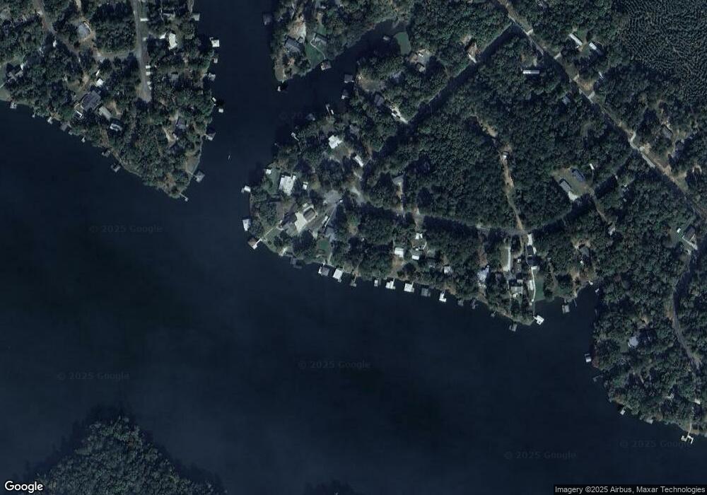
Map
Nearby Homes
- 118 Little River Dr
- 112 Little River Ct
- 111 Little River Dr
- 138 B N Little River Run
- 136 N Little River Run
- 136 Little River Trail
- 299 Little River Trail
- 216 Little River Trail
- 459 Avant Rd
- 445 Avant Rd
- 403 Avant Rd
- 101A Bear Creek Rd
- 172 Bear Creek Rd
- 0 Twin Bridges Rd Unit 10545486
- 0 Twin Bridges Rd Unit 10641754
- 0 Twin Bridges Rd Unit 52908
- 609 Twin Bridges Rd
- 701 Twin Bridges Rd
- 103 E Daylight Dr
- 110 E Daylight Dr
- 125 S Little River Run
- 129 S Little River Run
- 125 S Little River Run
- 131 S Little River Run
- 123 S Little River Run Unit 209
- 123 S Little River Run
- 0 S Little River Run Unit 7585088
- 133A S Little River Run
- 121 S Little River Run
- 120 Lower Little River Dr
- 122 S Little River Run
- 130 S Little River Run
- 132 S Little River Run
- 120 Little River Dr
- 0 Lower Little River Dr SW Unit CM966185
- 0 Lower Little River Dr SW Unit 8496355
- 0 Lower Little River Dr SW Unit M156649
- 0 Lower Little River Dr SW Unit 231 8837800
- 118 Lower Little River Dr Unit 220
- 118 Lower Little River Dr