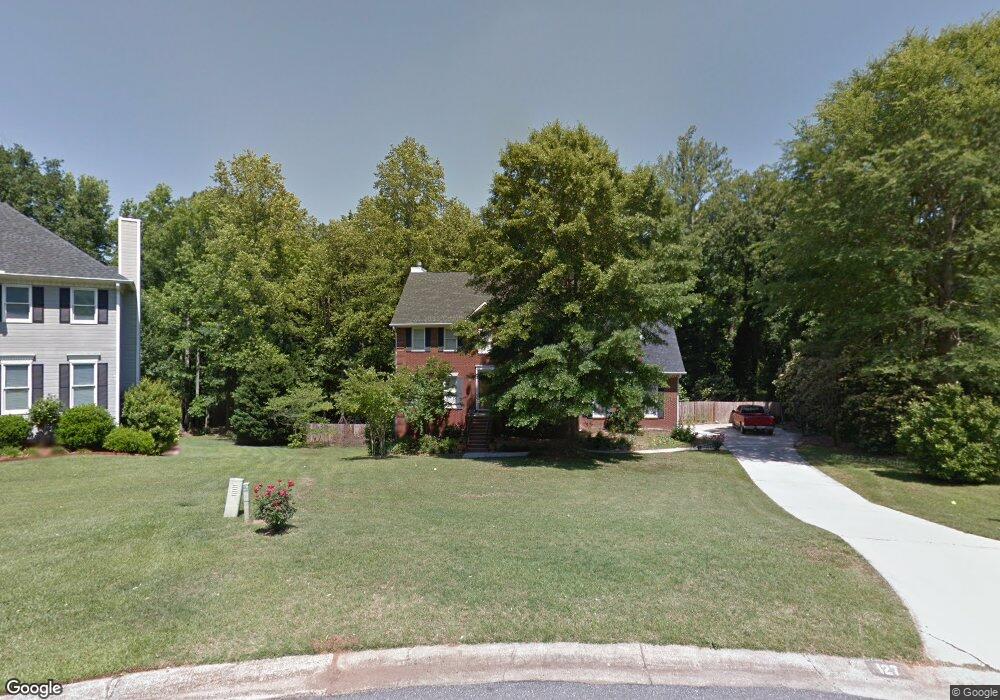
127 Saint Croix Dr Macon, GA 31210
Estimated Value: $347,000 - $387,000
4
Beds
3
Baths
2,649
Sq Ft
$136/Sq Ft
Est. Value
About This Home
This home is located at 127 Saint Croix Dr, Macon, GA 31210 and is currently estimated at $359,941, approximately $135 per square foot. 127 Saint Croix Dr is a home located in Bibb County with nearby schools including Springdale Elementary School, Howard Middle School, and Howard High School.
Ownership History
Date
Name
Owned For
Owner Type
Purchase Details
Closed on
Nov 17, 2006
Sold by
Barrett Terrence A and Barrett Martha Glover
Bought by
Martin Tammy U and Martin Lee L
Current Estimated Value
Home Financials for this Owner
Home Financials are based on the most recent Mortgage that was taken out on this home.
Original Mortgage
$216,000
Outstanding Balance
$127,963
Interest Rate
6.33%
Mortgage Type
New Conventional
Estimated Equity
$231,978
Create a Home Valuation Report for This Property
The Home Valuation Report is an in-depth analysis detailing your home's value as well as a comparison with similar homes in the area
Home Values in the Area
Average Home Value in this Area
Purchase History
| Date | Buyer | Sale Price | Title Company |
|---|---|---|---|
| Martin Tammy U | $240,000 | None Avilabale |
Source: Public Records
Mortgage History
| Date | Status | Borrower | Loan Amount |
|---|---|---|---|
| Open | Martin Tammy U | $216,000 |
Source: Public Records
Tax History Compared to Growth
Tax History
| Year | Tax Paid | Tax Assessment Tax Assessment Total Assessment is a certain percentage of the fair market value that is determined by local assessors to be the total taxable value of land and additions on the property. | Land | Improvement |
|---|---|---|---|---|
| 2025 | $3,038 | $123,609 | $12,000 | $111,609 |
| 2024 | $3,139 | $123,609 | $12,000 | $111,609 |
| 2023 | $3,139 | $123,609 | $12,000 | $111,609 |
| 2022 | $3,955 | $114,234 | $16,528 | $97,706 |
| 2021 | $4,235 | $111,450 | $16,528 | $94,922 |
| 2020 | $4,327 | $111,450 | $16,528 | $94,922 |
| 2019 | $4,088 | $104,419 | $16,528 | $87,891 |
| 2018 | $6,440 | $104,419 | $16,528 | $87,891 |
| 2017 | $3,912 | $104,419 | $16,528 | $87,891 |
| 2016 | $3,613 | $104,419 | $16,528 | $87,891 |
| 2015 | $5,113 | $104,419 | $16,528 | $87,891 |
| 2014 | $5,121 | $104,419 | $16,528 | $87,891 |
Source: Public Records
Map
Nearby Homes
- 1021 Bass Rd
- 5369 Rivoli Dr
- 181 Rivoli Landing
- 1231 Woodcrest Dr
- 137 Senora Place
- 5341 Northside Dr
- 757 Silver Springs Dr
- 100 S Haven Ct
- 155 Howard Oaks Dr
- 115 Saddle Run Ct
- 1177 Lucky Debonair Dr
- 123 Saddle Run Ct
- 103 Howard Oaks Dr
- 107 N Wellington
- 4265 Sheraton Dr
- 578 Edgefield Way
- 105 N Wellington
- 6020 Rivoli Dr
- 125 Saint Croix Dr
- 100 Saint Martinique Place
- 1032 Warwick Dr
- 1044 Warwick Dr
- 123 Saint Croix Dr
- 1058 Warwick Dr
- 102 Saint Martinique Place
- 1024 Warwick Dr
- 121 Saint Croix Dr
- 1064 Warwick Dr
- 124 Saint Croix Dr
- 106 Saint Martinique Place
- 119 Saint Croix Dr
- 1068 Warwick Dr
- 1008 Warwick Dr
- 105 Saint Martinique Place
- 105 St Martinique Place
- 1037 Warwick Dr
- 1035 Warwick Dr
- 1045 Warwick Dr