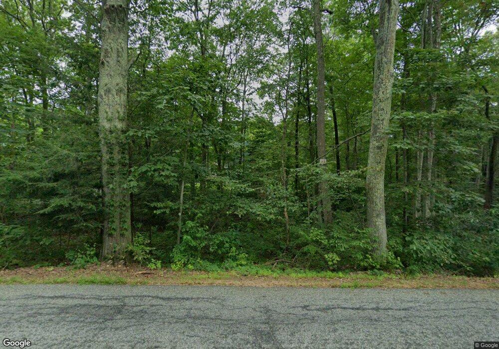
127 Saner Rd Marlborough, CT 06447
Estimated Value: $480,265 - $581,000
3
Beds
3
Baths
--
Sq Ft
2.73
Acres
About This Home
This home is located at 127 Saner Rd, Marlborough, CT 06447 and is currently estimated at $537,316. 127 Saner Rd is a home located in Hartford County with nearby schools including Elmer Thienes-Mary Hall Elementary School, RHAM Middle School, and RHAM High School.
Ownership History
Date
Name
Owned For
Owner Type
Purchase Details
Closed on
Dec 20, 2017
Sold by
Jones Walter R
Bought by
Gilnak Laura L
Current Estimated Value
Home Financials for this Owner
Home Financials are based on the most recent Mortgage that was taken out on this home.
Original Mortgage
$289,020
Outstanding Balance
$245,039
Interest Rate
3.9%
Mortgage Type
FHA
Estimated Equity
$292,277
Purchase Details
Closed on
Apr 1, 2015
Sold by
Shelton Kathleen Y
Bought by
Noel John D and Pratt David P
Home Financials for this Owner
Home Financials are based on the most recent Mortgage that was taken out on this home.
Original Mortgage
$78,000
Interest Rate
3.75%
Mortgage Type
Commercial
Purchase Details
Closed on
Aug 12, 1996
Sold by
Marlborough Town Line
Bought by
Jones Walter
Create a Home Valuation Report for This Property
The Home Valuation Report is an in-depth analysis detailing your home's value as well as a comparison with similar homes in the area
Home Values in the Area
Average Home Value in this Area
Purchase History
| Date | Buyer | Sale Price | Title Company |
|---|---|---|---|
| Gilnak Laura L | $299,000 | -- | |
| Gilnak Laura L | $299,000 | -- | |
| Noel John D | $318,000 | -- | |
| Noel John D | $318,000 | -- | |
| Jones Walter | $50,000 | -- | |
| Jones Walter | $50,000 | -- |
Source: Public Records
Mortgage History
| Date | Status | Borrower | Loan Amount |
|---|---|---|---|
| Open | Gilnak Laura L | $289,020 | |
| Closed | Gilnak Laura L | $289,020 | |
| Previous Owner | Jones Walter | $78,000 |
Source: Public Records
Tax History Compared to Growth
Tax History
| Year | Tax Paid | Tax Assessment Tax Assessment Total Assessment is a certain percentage of the fair market value that is determined by local assessors to be the total taxable value of land and additions on the property. | Land | Improvement |
|---|---|---|---|---|
| 2025 | $9,670 | $256,220 | $67,550 | $188,670 |
| 2024 | $9,298 | $256,220 | $67,570 | $188,650 |
| 2023 | $8,899 | $256,220 | $67,570 | $188,650 |
| 2022 | $9,109 | $256,220 | $67,570 | $188,650 |
| 2021 | $9,183 | $256,220 | $67,570 | $188,650 |
| 2020 | $9,100 | $250,900 | $67,570 | $183,330 |
| 2019 | $9,564 | $256,760 | $67,550 | $189,210 |
| 2018 | $9,377 | $256,760 | $67,550 | $189,210 |
| 2017 | $9,105 | $256,760 | $67,550 | $189,210 |
| 2016 | $8,768 | $256,760 | $67,550 | $189,210 |
| 2015 | $8,012 | $243,600 | $70,490 | $173,110 |
| 2014 | $7,661 | $243,600 | $70,490 | $173,110 |
Source: Public Records
Map
Nearby Homes
