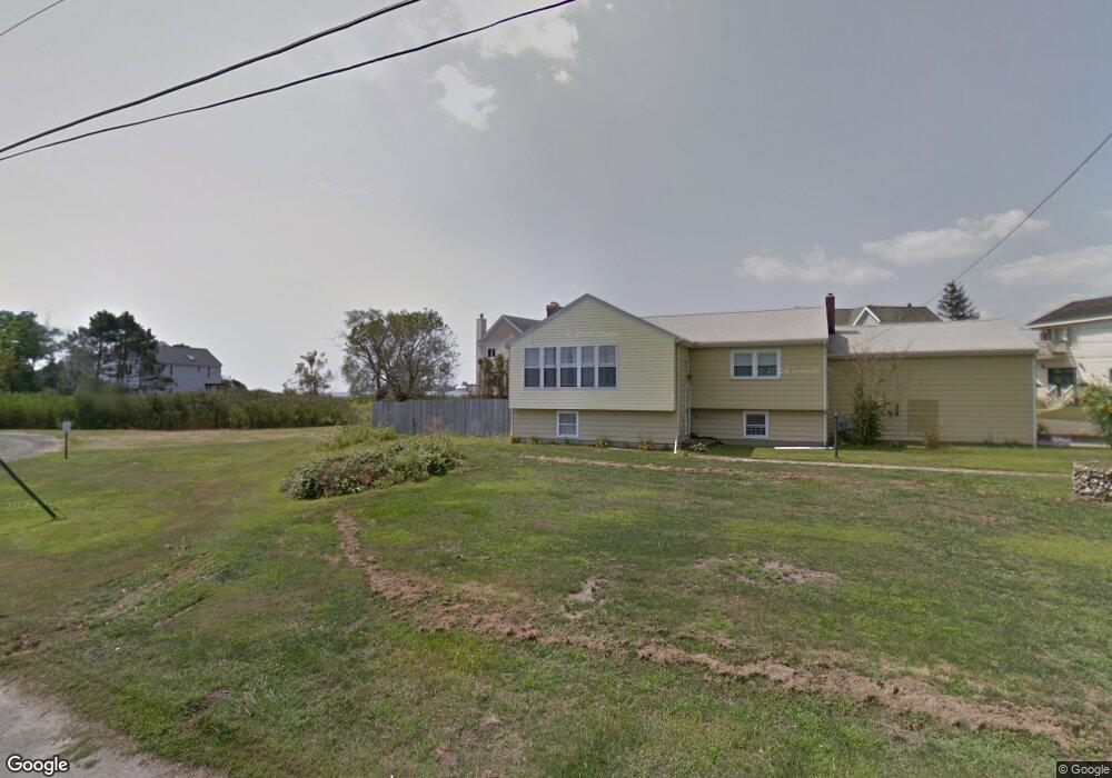
127 Seaside Ave Guilford, CT 06437
Estimated Value: $904,000 - $1,219,000
3
Beds
3
Baths
2,732
Sq Ft
$395/Sq Ft
Est. Value
About This Home
This home is located at 127 Seaside Ave, Guilford, CT 06437 and is currently estimated at $1,079,209, approximately $395 per square foot. 127 Seaside Ave is a home located in New Haven County with nearby schools including E.C. Adams Middle School, A. Baldwin Middle School, and Guilford High School.
Ownership History
Date
Name
Owned For
Owner Type
Purchase Details
Closed on
Jun 15, 1999
Sold by
Est Whiteman Maude H and Whitman Ronald C
Bought by
Volf Miroslav and Gundry-Volf Judith
Current Estimated Value
Create a Home Valuation Report for This Property
The Home Valuation Report is an in-depth analysis detailing your home's value as well as a comparison with similar homes in the area
Home Values in the Area
Average Home Value in this Area
Purchase History
| Date | Buyer | Sale Price | Title Company |
|---|---|---|---|
| Volf Miroslav | $181,000 | -- |
Source: Public Records
Mortgage History
| Date | Status | Borrower | Loan Amount |
|---|---|---|---|
| Open | Volf Miroslav | $405,475 | |
| Closed | Volf Miroslav | $275,000 | |
| Closed | Volf Miroslav | $370,000 |
Source: Public Records
Tax History
| Year | Tax Paid | Tax Assessment Tax Assessment Total Assessment is a certain percentage of the fair market value that is determined by local assessors to be the total taxable value of land and additions on the property. | Land | Improvement |
|---|---|---|---|---|
| 2025 | $14,596 | $527,870 | $264,110 | $263,760 |
| 2024 | $14,031 | $527,870 | $264,110 | $263,760 |
| 2023 | $13,661 | $527,870 | $264,110 | $263,760 |
| 2022 | $11,320 | $340,440 | $182,610 | $157,830 |
| 2021 | $11,105 | $340,440 | $182,610 | $157,830 |
| 2020 | $11,000 | $340,440 | $182,610 | $157,830 |
| 2019 | $10,895 | $340,140 | $182,610 | $157,530 |
| 2018 | $10,640 | $340,140 | $182,610 | $157,530 |
| 2017 | $11,222 | $382,230 | $216,090 | $166,140 |
| 2016 | $10,959 | $382,230 | $216,090 | $166,140 |
| 2015 | $10,794 | $382,230 | $216,090 | $166,140 |
| 2014 | $10,481 | $382,230 | $216,090 | $166,140 |
Source: Public Records
Map
Nearby Homes
- 505 Old Whitfield St
- 405 Whitfield St Unit 2
- 379 Whitfield St Unit AN2542
- 379 Whitfield St Unit BN334
- 379 Whitfield St Unit CN946
- 379 Whitfield St Unit AN236
- 379 Whitfield St Unit BN2534
- 379 Whitfield St Unit CS936
- 25 Driveway
- 285 Old Whitfield St
- 80 Seaview Terrace Unit 31
- 6 Rollwood Dr Unit 6
- 174 Whitfield St
- 66 High St Unit 38
- 66 High St Unit 34
- 26 Water St
- 147 Boston St
- 24 Ridgewood Ave
- 76 Sachem Head Rd
- 223 Water St
- 125 Seaside Ave
- 123 Seaside Ave
- 117 Seaside Ave
- 129 Seaside Ave
- 7 Rock Point Ln
- 121 Seaside Ave
- 21 Rock Point Ln
- 115 Seaside Ave
- 122 Seaside Ave
- 113 Seaside Ave
- 18 Rock Point Ln
- 122 Seaside Ave
- 4 Rock Point Ln
- 26 Rock Point Ln
- 116 Seaside Ave
- 104 Seaside Ave
- 40 Rock Point Ln
- 2 Guilford Point Dr
- 1 Guilford Point Dr
- 100 Seaside Ave
Your Personal Tour Guide
Ask me questions while you tour the home.