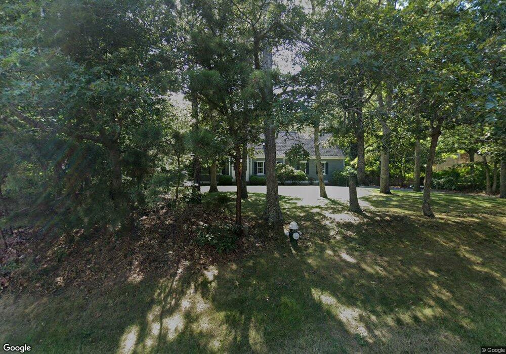
127 Setucket Rd Yarmouth Port, MA 02675
Yarmouth Port NeighborhoodEstimated Value: $825,000 - $890,000
4
Beds
2
Baths
2,201
Sq Ft
$386/Sq Ft
Est. Value
About This Home
This home is located at 127 Setucket Rd, Yarmouth Port, MA 02675 and is currently estimated at $849,507, approximately $385 per square foot. 127 Setucket Rd is a home located in Barnstable County with nearby schools including Dennis-Yarmouth Regional High School and St. Pius X. School.
Ownership History
Date
Name
Owned For
Owner Type
Purchase Details
Closed on
Jul 6, 1998
Sold by
Gusto Rt and Stergis Louis A
Bought by
Riley Michael R and Riley Kimberly A
Current Estimated Value
Home Financials for this Owner
Home Financials are based on the most recent Mortgage that was taken out on this home.
Original Mortgage
$175,000
Interest Rate
7.04%
Mortgage Type
Purchase Money Mortgage
Create a Home Valuation Report for This Property
The Home Valuation Report is an in-depth analysis detailing your home's value as well as a comparison with similar homes in the area
Home Values in the Area
Average Home Value in this Area
Purchase History
| Date | Buyer | Sale Price | Title Company |
|---|---|---|---|
| Riley Michael R | $195,000 | -- | |
| Gusto Rt | $50,000 | -- |
Source: Public Records
Mortgage History
| Date | Status | Borrower | Loan Amount |
|---|---|---|---|
| Open | Gusto Rt | $157,000 | |
| Closed | Gusto Rt | $75,000 | |
| Closed | Gusto Rt | $175,000 |
Source: Public Records
Tax History Compared to Growth
Tax History
| Year | Tax Paid | Tax Assessment Tax Assessment Total Assessment is a certain percentage of the fair market value that is determined by local assessors to be the total taxable value of land and additions on the property. | Land | Improvement |
|---|---|---|---|---|
| 2025 | $5,930 | $837,500 | $145,900 | $691,600 |
| 2024 | $5,714 | $774,200 | $154,100 | $620,100 |
| 2023 | $5,670 | $699,100 | $137,700 | $561,400 |
| 2022 | $5,022 | $547,100 | $124,100 | $423,000 |
| 2021 | $4,886 | $511,100 | $124,100 | $387,000 |
| 2020 | $4,652 | $465,200 | $125,200 | $340,000 |
| 2019 | $4,278 | $423,600 | $125,200 | $298,400 |
| 2018 | $4,121 | $400,500 | $102,100 | $298,400 |
| 2017 | $4,013 | $400,500 | $102,100 | $298,400 |
| 2016 | $3,904 | $391,200 | $92,800 | $298,400 |
| 2015 | $3,913 | $389,700 | $92,800 | $296,900 |
Source: Public Records
Map
Nearby Homes
- 6 Nimble Hill Dr
- 13 Covey Dr
- 111 Merchant Ave
- 59 Massachusetts 6a Unit 19-2
- 59 Main St Unit 19-2
- 59 Route 6a Unit 29-4
- 44 Stratford Ln
- 64 Kates Path
- 86 Pompano Rd
- 43 Canterbury Rd
- 34 Kates Path
- 34 Kates Path Unit 34
- 51 Bray Farm Rd N
- 4 Ebb Rd
- 17 Kates Path Unit A
- 228 Kates Path
- 268 Main St
- 42 John Hall Cartway Unit 42
- 50 John Hall Cartway
- 50 John Hall Cartway Unit 50
- 121 Setucket Rd
- 115 Setucket Rd
- 145 Setucket Rd Unit 147
- 145-147 Setucket Rd
- 9 Plymouth Rd
- 148 Setucket Rd
- 107 Setucket Rd
- 8 Plymouth Rd
- 13 Plymouth Rd
- 12 Plymouth Rd
- 158 Setucket Rd
- 19 Plymouth Rd
- 18 Plymouth Rd
- 99 Setucket Rd
- 166 Setucket Rd
- 0 Nimble Hill Dr
- 14 Nimble Hill Dr
- 23 Plymouth Rd
- 24 Plymouth Rd
- 5 Nimble Hill Dr